


South Downs from Plumpton
Sat 9th May 2015
Walk Details:
Event Details Updated
NOTE: The train has been rescheduled to arrive at Plumpton at 0948 rather than 0942. All other timings and details unchanged
Event Type
Group Walk
Region
Southern England
Local Group
London
Distance
20ml.
Start Time
09.42
Route
Start Plumpton Stn - Depart Victoria 08.46 (Clapham Jct. 08.52). Walk starts from the PLATFORM, please DON'T wait outside the station
Circular S and W over the downs with plenty of hills and views.
Via Streat, Stanmer Down, Wolstonbury Hill, then SDW to Black Cap. Late, 1.45 approx, pub lunch Jack and Jill at Clayton (http://www.thejackandjillinn.co.uk/) or picnic in churchyard.
Plan to be back at the stn for 18.28 train, next one would be 19.28.
General Notes
Note -The pub are expecting us and if you are definitely coming on the walk and want to eat there it would help speed things up if you could call them (01273 843595) and place your order in advance
Web Site
Start and Finish
Entry Details:
Cost
Walk Report
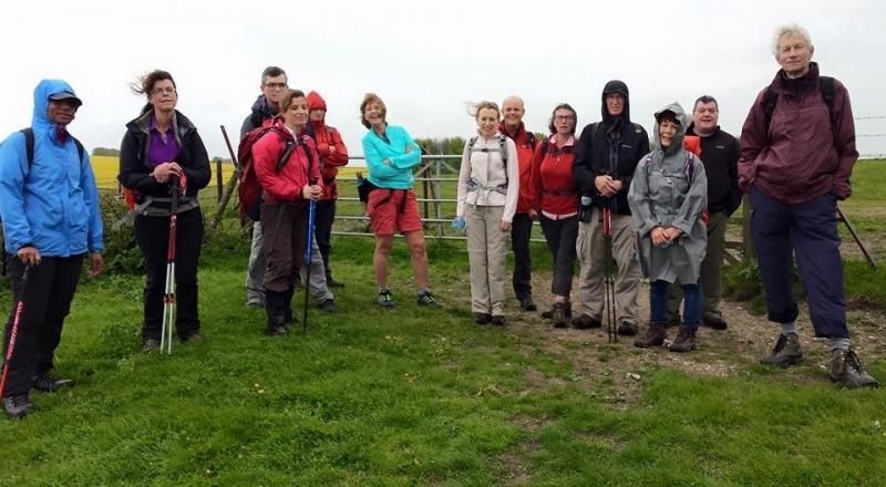
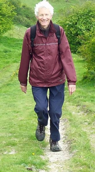
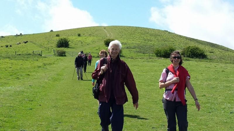
South Downs from Plumpton, Saturday 9th May 201516 walkers, 20 miles - leader Andy Davies
A figure of eight walk through the South Downs.
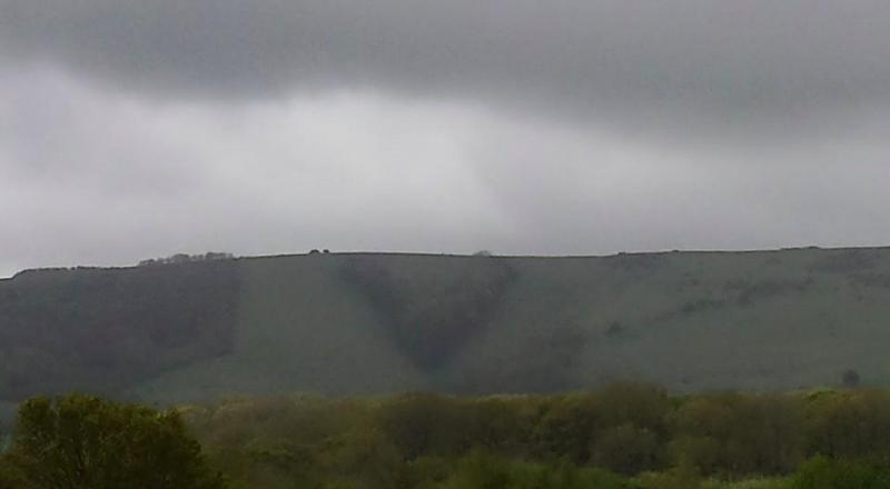
A few fields in we met a ghostly shepherd lad with a rough-hewn stick who walked with us to the top of the downs before fading back to Ditchling. We paused to enjoy the first full view of the downs at Streat Church and note the V shaped group of trees planted to celebrate Victoria's jubilee in 1887. A profusion of cowslips on the slopes of Streat Hill, then as we headed for Stanmer Down the rain started. Spectacular bluebell vista in Highpark Wood. After Standean the rain stopped; sun and wind combined to dry us for lunch at the Jack and Jill. The weather continued to improve as we headed east to Black Cap and then through farmland back to the station for the 6.28 train. Most seemed to agree this was an excellent walk.
Photographs by Bola Baruwa
Other Files
Download Walk ReportGallery


Maps:
You can use the interactive controls to zoom in and out and to move around the map, or click on a marker for more info. (interactive map help)
Contains Ordnance Survey data © Crown copyright and database right 2016.
© OpenStreetMap contributors under Open Database Licence.
Rights of way data from selected Local Authorities.
Large scale digital mapping is provided by John Thorn.
© OpenStreetMap contributors under Open Database Licence.
Rights of way data from selected Local Authorities.
Large scale digital mapping is provided by John Thorn.


