


From Dormans to Oxted and Round About
Sat 28th Feb 2015
Walk Details:
Event Details Updated
Note train times changed compared to Strider - earlier train from London Bridge (with change at East Croydon) or direct train from Victoria
Event Type
Group Walk
Region
Southern England
Local Group
London
Distance
19ml.
Start Time
09.14
Route
Start Dormans stn
Dep London Bridge 07:55. Change East Croydon 08.34
OR Direct train from London Victoria dep 08:23.
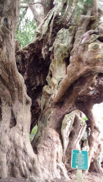
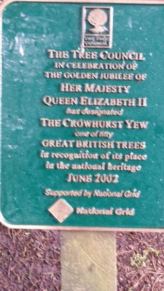
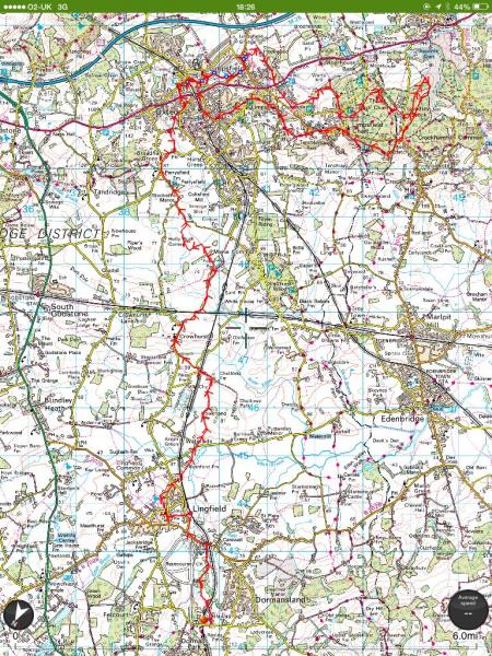
Dormans to Oxted (linear am) followed by Oxted circular (pm). A walk through the Weald following the Meridian Line through Lingfield & Crowhurst over gently rolling countryside to Oxted for lunch, then circular returning to Oxted
Web Site
Start
Finish
Entry Details:
Cost
Walk Report
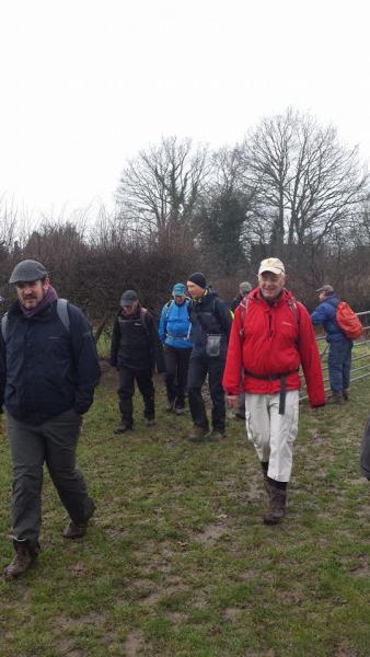
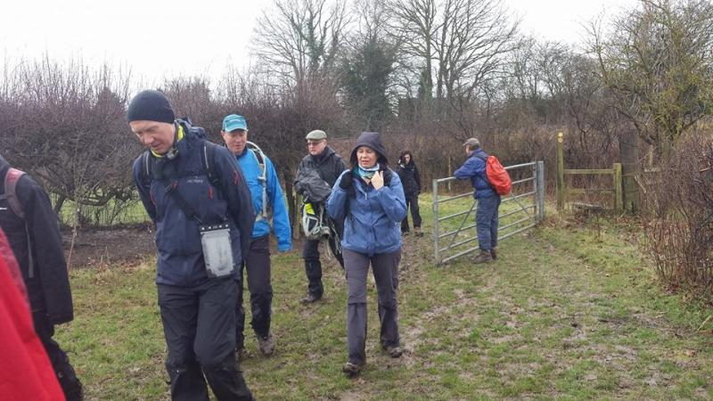
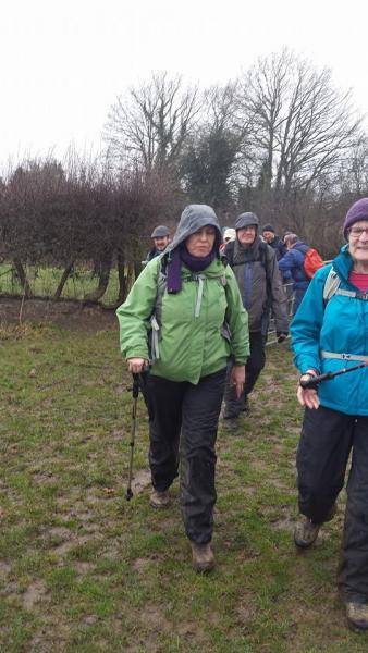
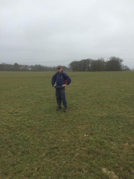
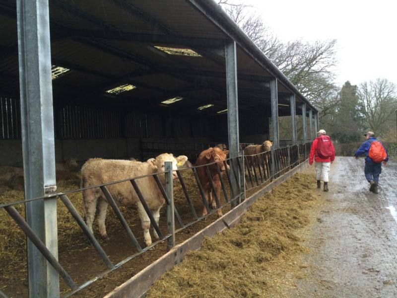
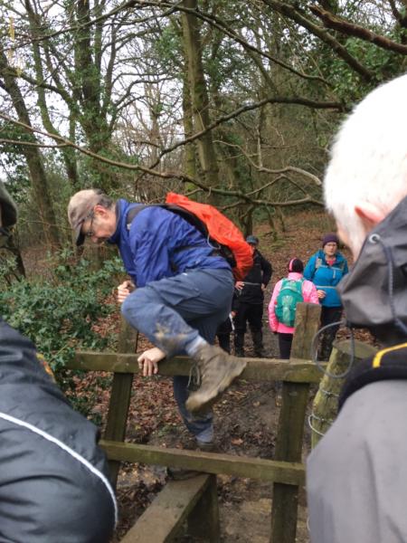
From Dormans to Oxted and Round About, Saturday 28th February 201521 walkers, 20 miles - leader Dave Williams
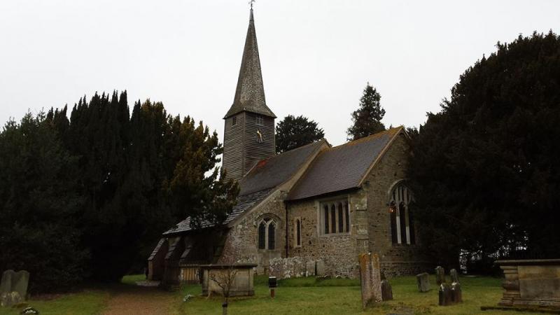
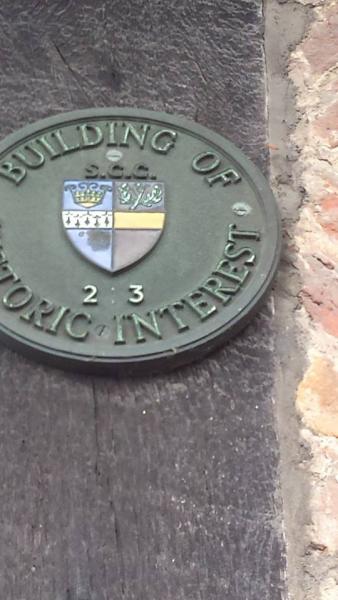
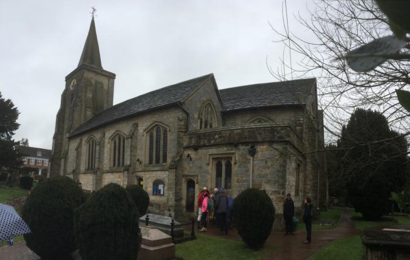
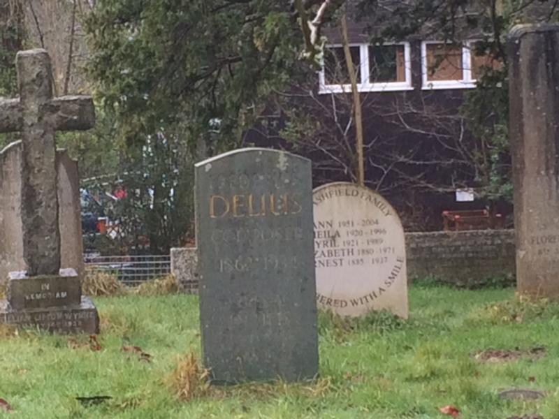
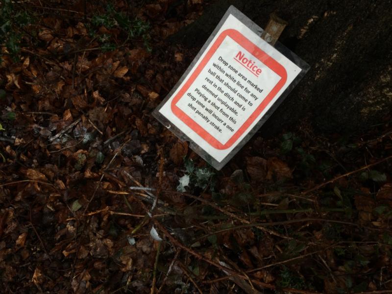
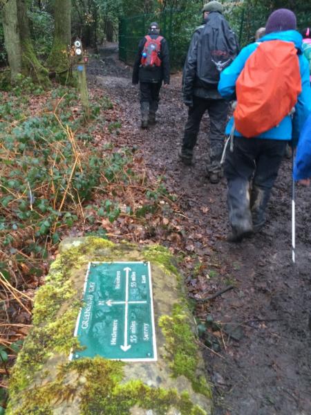
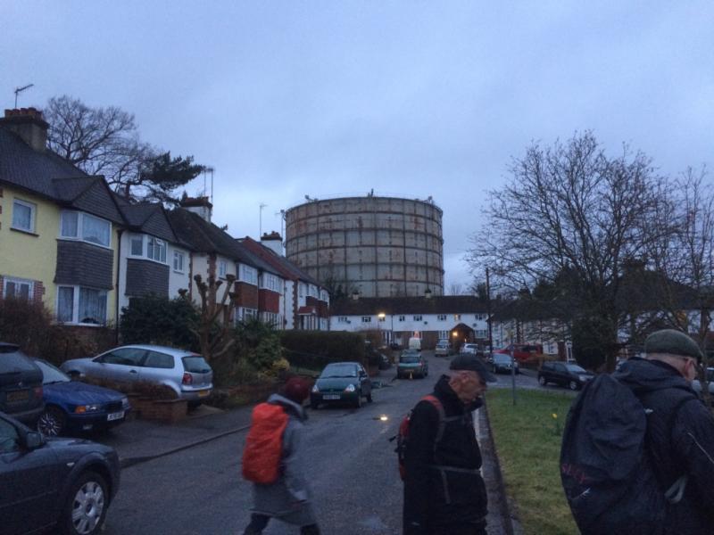
Twenty walkers joined Dave Williams at around 9:14 for an excellent walk north along the Greenwich meridian from Dormans to Oxted. The heavy drizzly rain, which was not forecast to arrive until the afternoon, persisted all day but failed to dampen spirits on this cheerful outing. After a brief stop for refreshment by the picturesque church at Lingfield, we followed the Kent/Surrey border up to Oxted, where we enjoyed an efficient and good value lunch at (of course) the Wetherspoons by the railway station. After lunch, we headed off east, following parts of the Greensand Way, and passing through the churchyard at Limpsfield where the musicians Frederick Delius and Sir Thomas Beecham are buried. From Westerham, we looped to the south and then west, through the (rather muddy!) woodland back to Oxted, completing a "P" shaped walk over the day. Most of the group caught the 17:53 train back to London from there, though some of the hardier members returned to Wetherspoons for a curry and a pint.
Many thanks to Dave for a very enjoyable and sociable day's walking. Report by Adam Dawson
Photographs by Bola Baruwa and Adam Dawson
Other Files
Download Walk ReportGallery


Maps:
You can use the interactive controls to zoom in and out and to move around the map, or click on a marker for more info. (interactive map help)
Contains Ordnance Survey data © Crown copyright and database right 2016.
© OpenStreetMap contributors under Open Database Licence.
Rights of way data from selected Local Authorities.
Large scale digital mapping is provided by John Thorn.
© OpenStreetMap contributors under Open Database Licence.
Rights of way data from selected Local Authorities.
Large scale digital mapping is provided by John Thorn.


