


East of Epping
Sat 17th Jul 2021
Walk Details:
Event Type
Group Walk
Region
Southern England
Local Group
London
Distance
19ml.
Start Time
09:00
Route
Start at Loughton underground station at 9am for an Essex Linear Ramble. Finish at Epping station
General Notes
A repeat of the very wet autumn walk hopefully without the mud!
Bring a packed lunch. Please register with Lonica in advance due to the current covid restrictions
Web Site
Start
Finish
Entry Details:
Cost
Walk Report
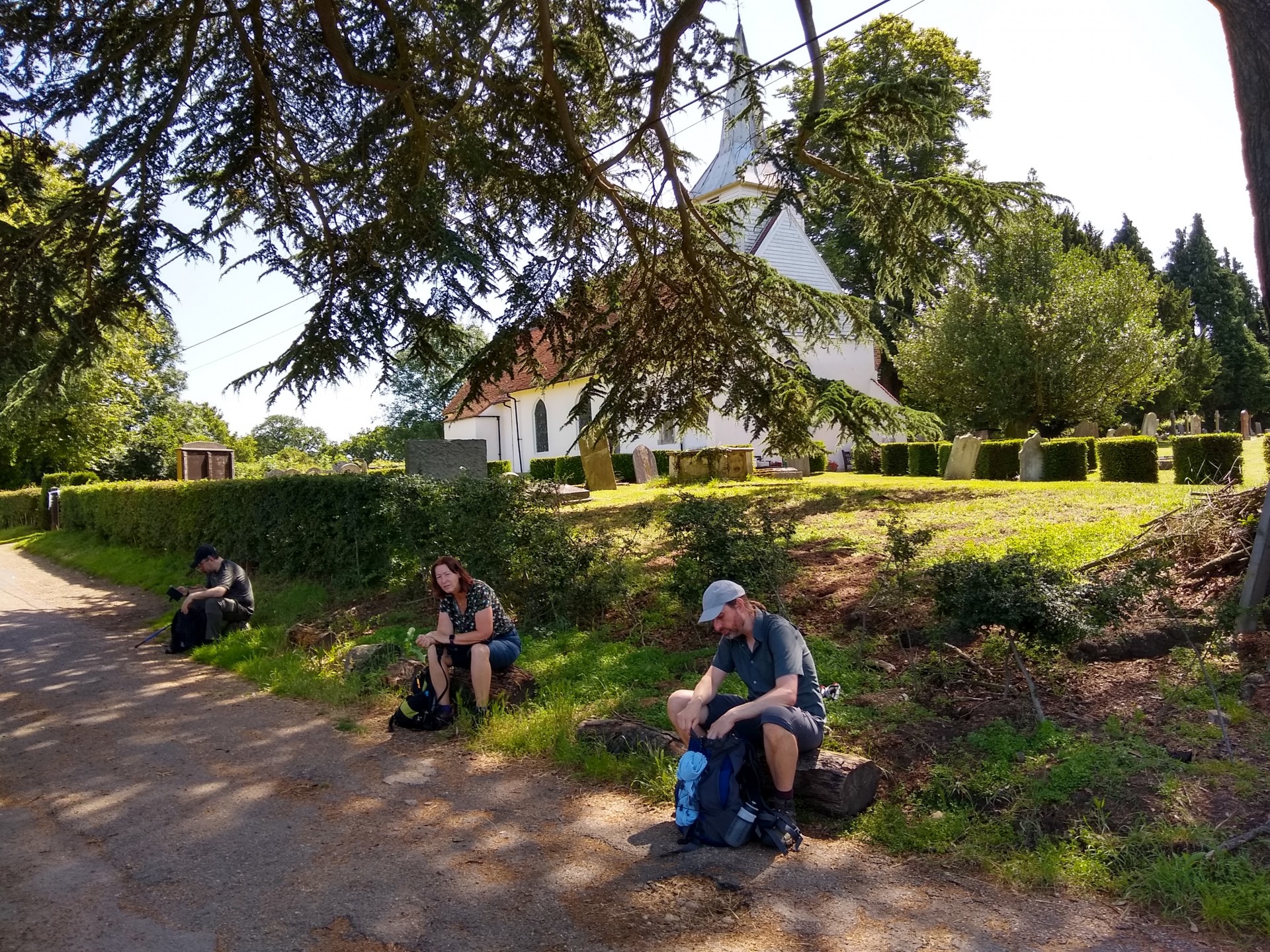
East of Epping, Saturday 17th July 20218 walkers, 18 miles - leader Lonica Vanclay
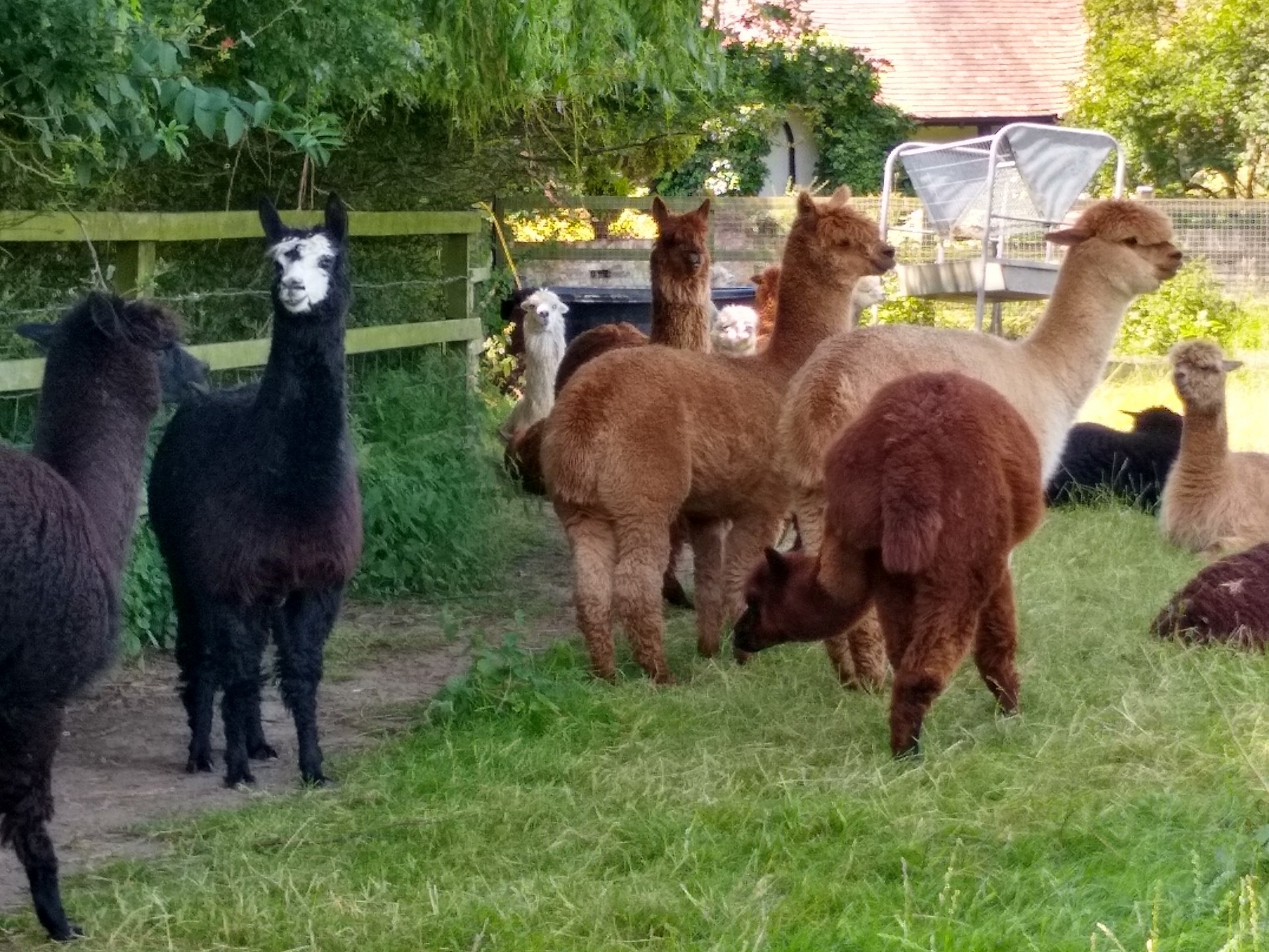
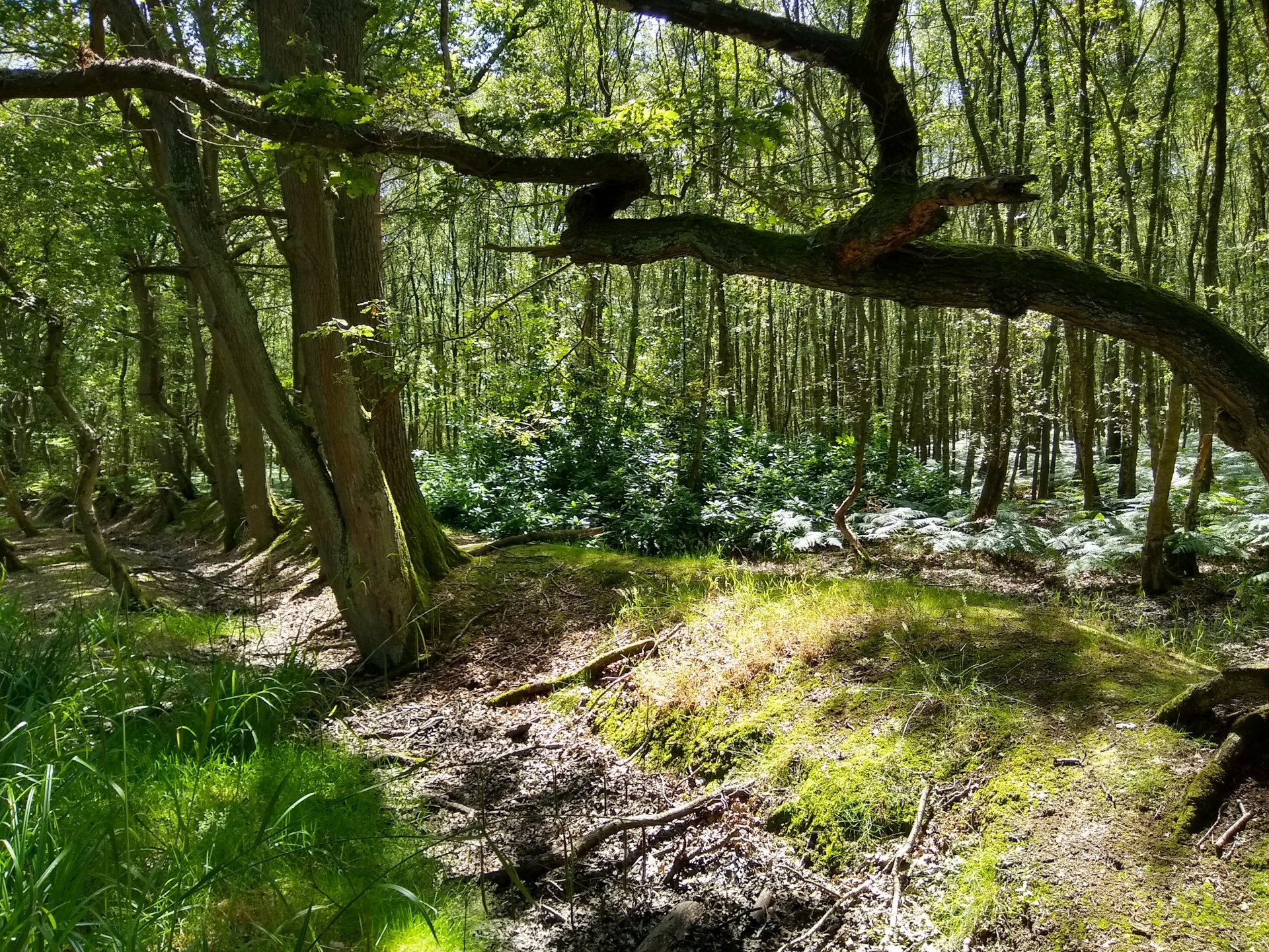
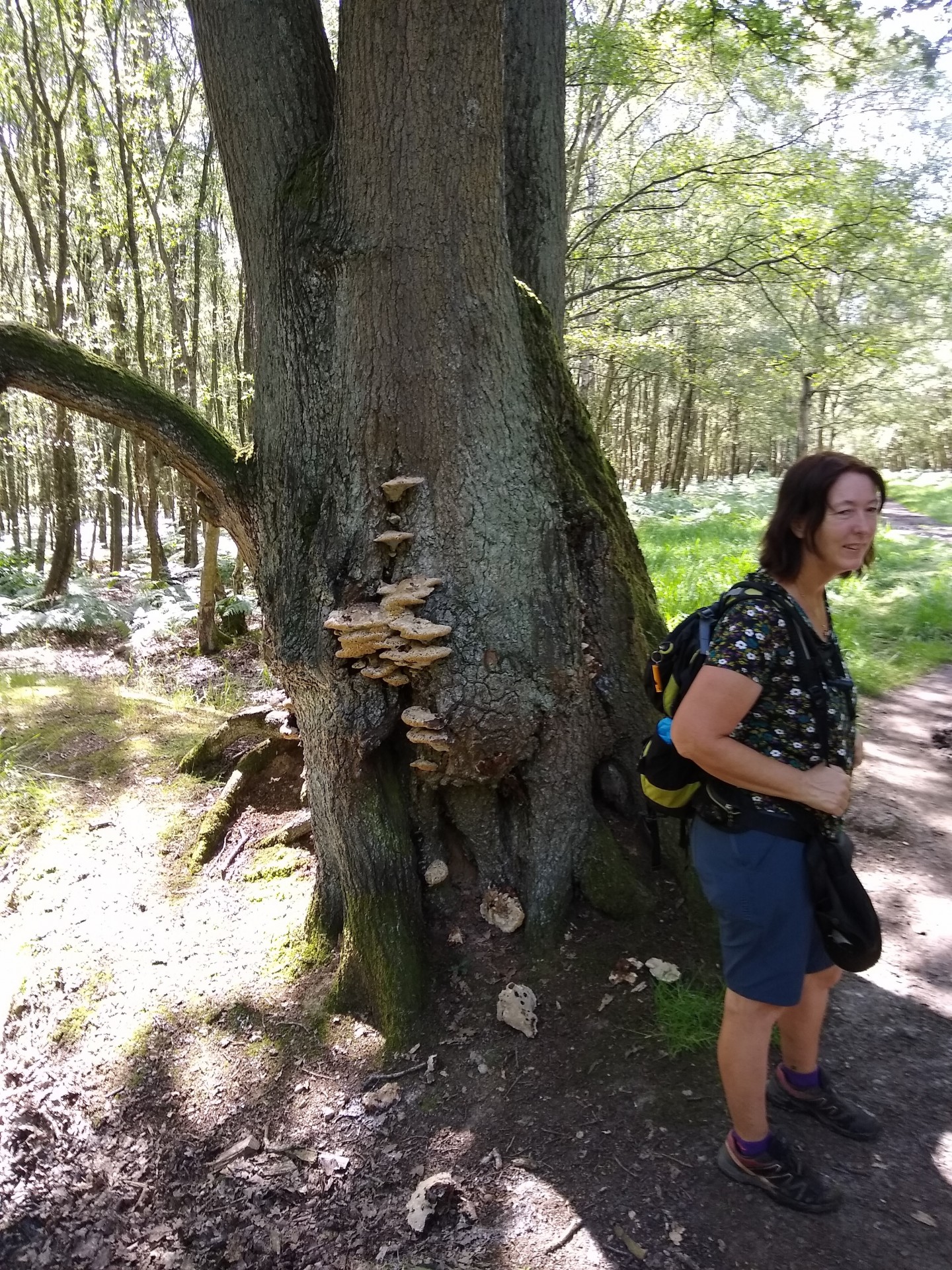
7 walkers joined me (so a merry band of 8) for our 18 mile walk from Loughton to Epping via Hainault forest, Lambourne, Theydon Mount, Epping Forest and Coopersale to Epping.
The only complaint we could possibly have about the weather was it was hot - very hot in the open fields - however, the forest shade was very pleasant indeed and quite a lot of the walk was in forest, so we all survived.
The sky was blue and the clarity of the views was amazing. Are there views in Essex I hear you say - yes - right back to the Shard from Stapleford Tawney!!
Needless to say it being Essex, we did not escape mud - and several paths were so overgrown by nettles and brambles that the path was hard to discern. Glad I didn't wear shorts - apologies to those who did.
Remarkably few other walkers were passed - though there were lots pulling in for Paintball and 100 Tiny Trotters were out on their horses on a circuit - fortunately we only passed a small proportion.
It did all mean we had a proper "country" experience though - all within reach of the underground line.
Photographs by Lonica Vanclay
Other Files
Download Walk ReportGPX
A GPX file of the above route may be downloaded by clicking the link below.
Note: GPX files of Group Walks are created by LDWA Group members, and may be downloaded only by other LDWA members. They should not be made available outside the LDWA, and are used at members' own risk.
Login to Download (Members Only)You can use the interactive controls to zoom in and out and to move around the map, or click on a path or a marker for more info. (interactive map help)
You can use the interactive controls to zoom in and out and to move around the map, or click on a path or a marker for more info. (interactive map help)
Contains Ordnance Survey data © Crown copyright and database right 2016.
© OpenStreetMap contributors under Open Database Licence
Rights of way data from selected Local Authorities
Large scale digital mapping is provided by John Thorn
At high zoom levels the route is indicative only.
© OpenStreetMap contributors under Open Database Licence
Rights of way data from selected Local Authorities
Large scale digital mapping is provided by John Thorn
At high zoom levels the route is indicative only.
Gallery
Maps:
You can use the interactive controls to zoom in and out and to move around the map, or click on a marker for more info. (interactive map help)
Contains Ordnance Survey data © Crown copyright and database right 2016.
© OpenStreetMap contributors under Open Database Licence.
Rights of way data from selected Local Authorities.
Large scale digital mapping is provided by John Thorn.
© OpenStreetMap contributors under Open Database Licence.
Rights of way data from selected Local Authorities.
Large scale digital mapping is provided by John Thorn.


