
The Loosley Lacey Loops
Sun 1st Mar 2020
Walk Details:
Figure of 8 walk to Whiteleaf Hill and back
Entry Details:
Walk Report
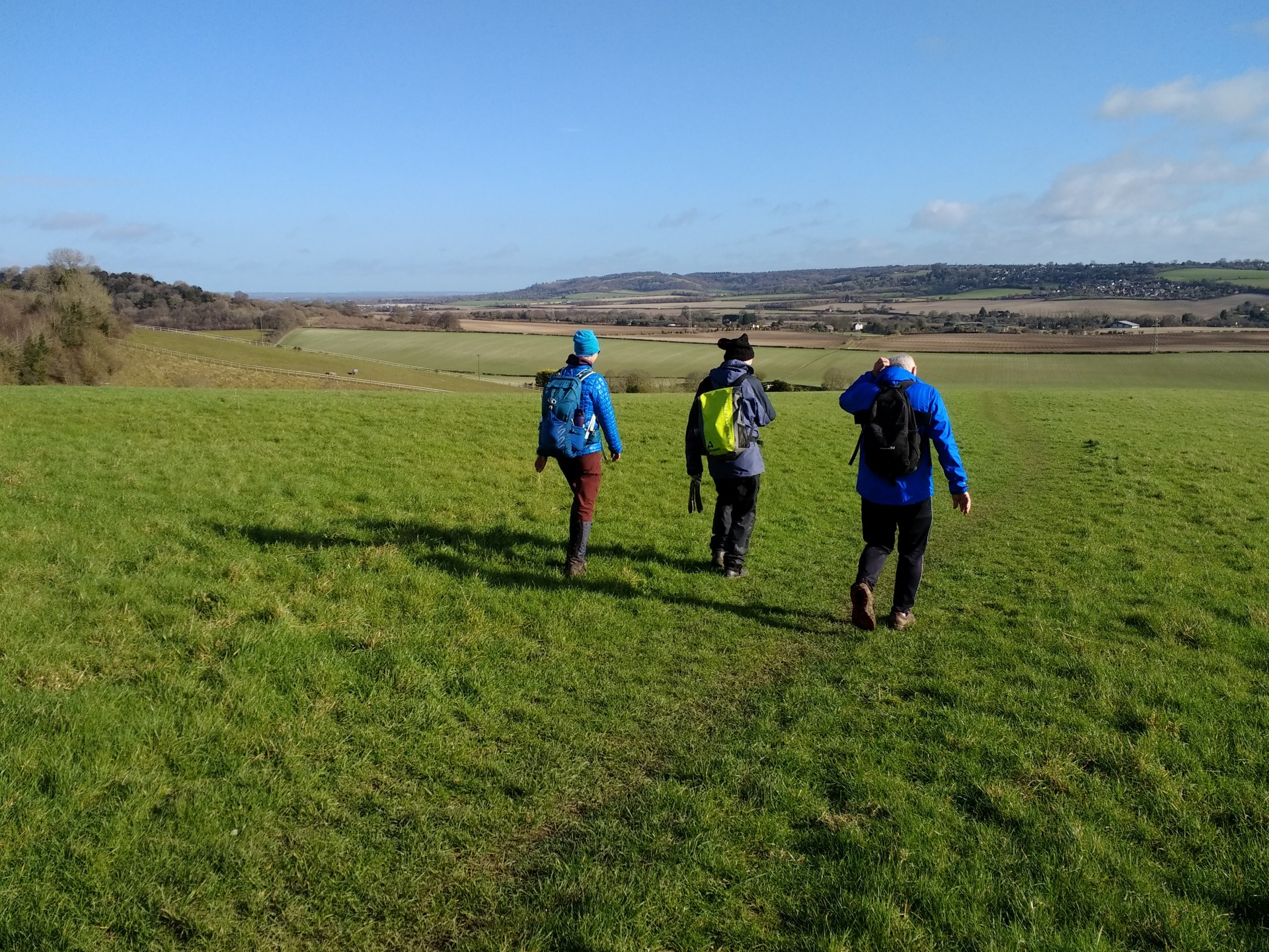
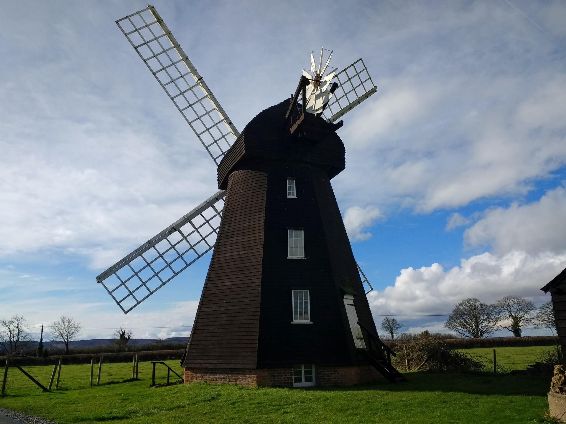
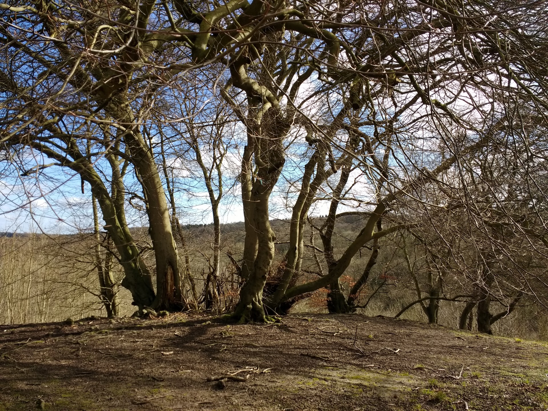
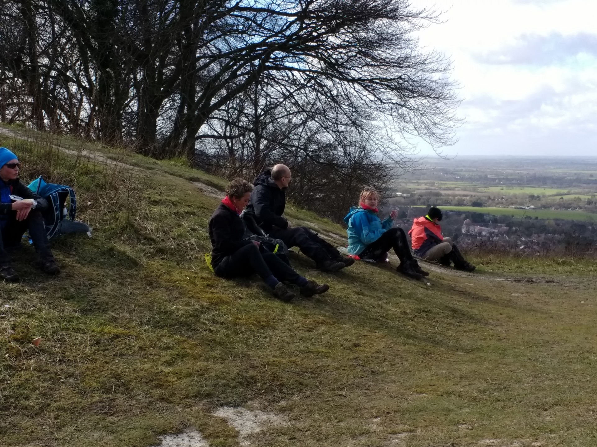
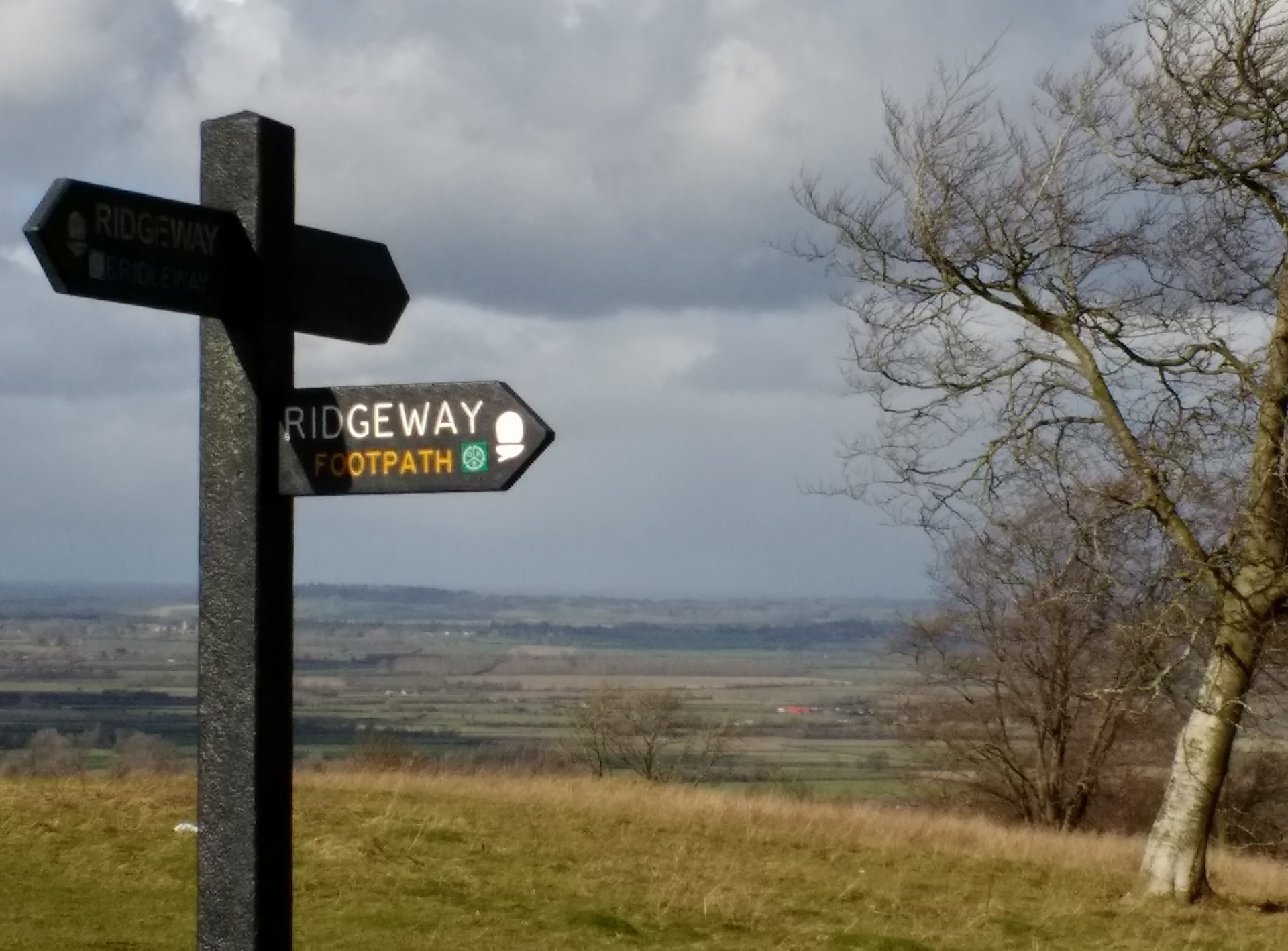
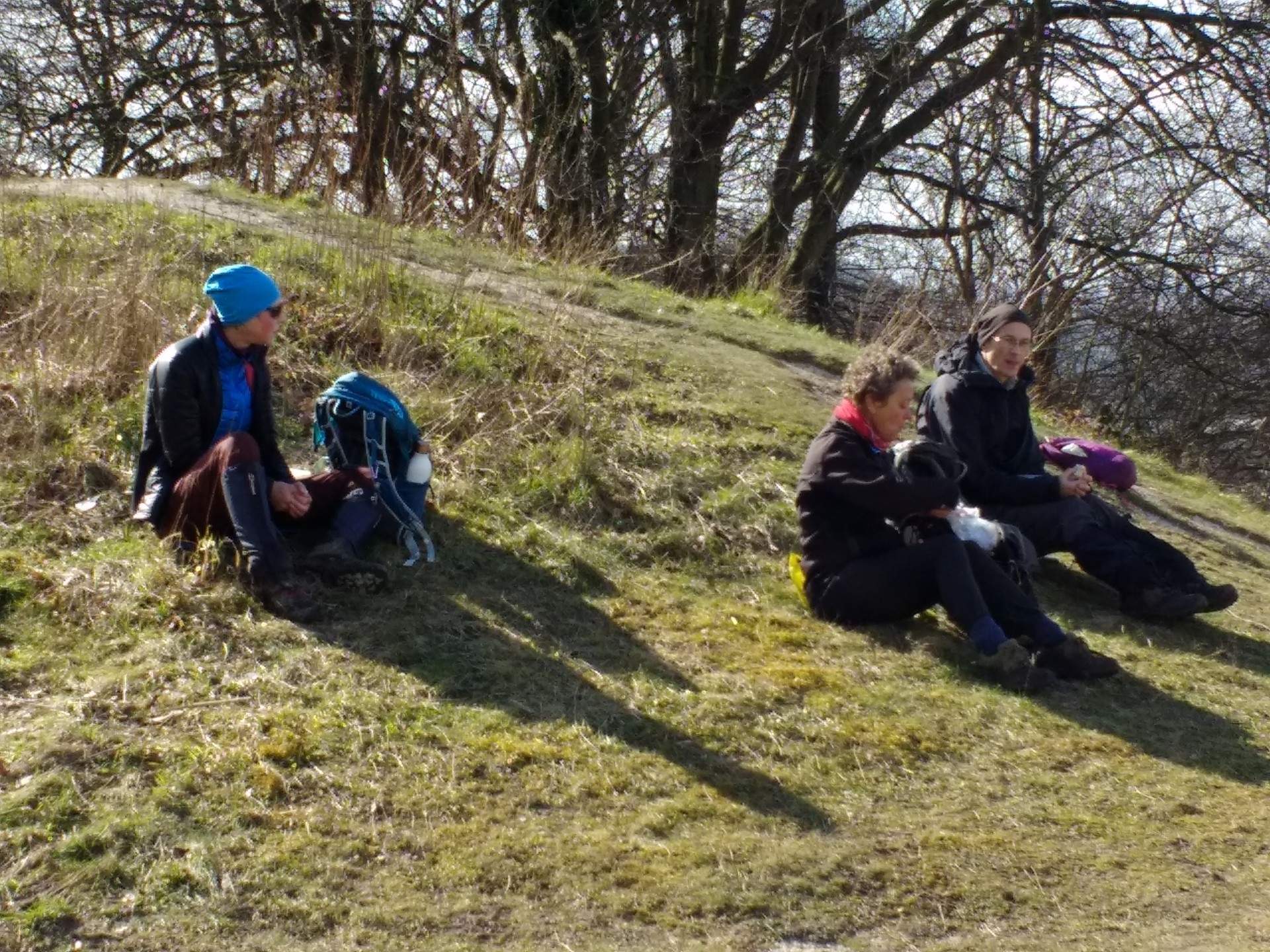
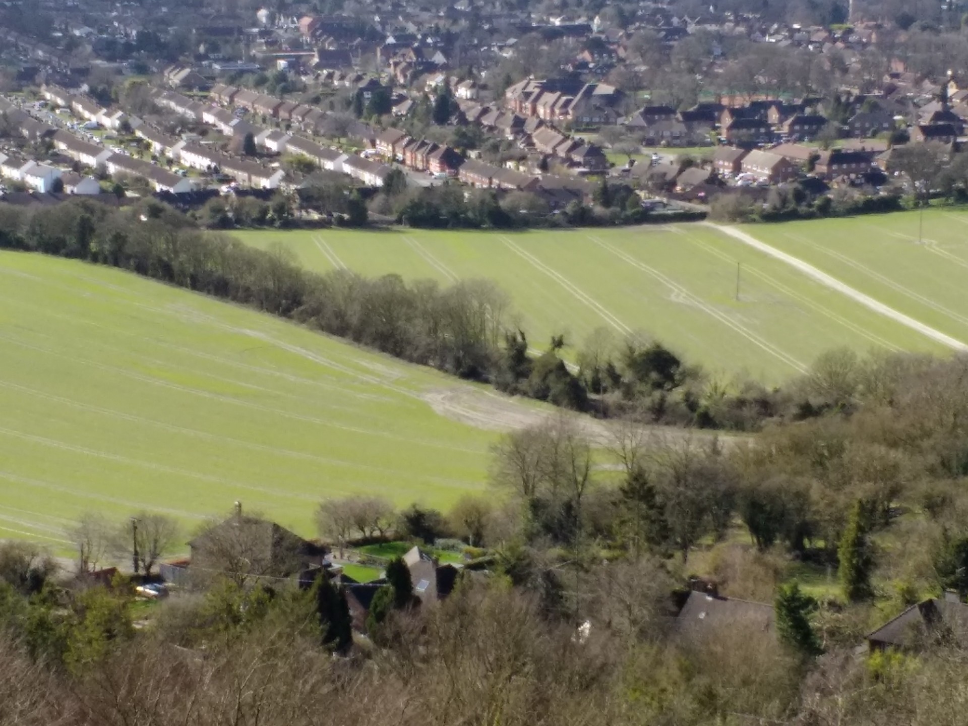
This walk was remarkable for taking place during a run of intense "named" storms and more general long days of heavy rain, and requiring 5 trips to come up with a passable route; yet on the day not a drop of water fell on the group until literally just after getting back in the cars afterwards.This was a figure of 8 walk from Stokenchurch with the two loops crossing at Loosley Row and Lacey Green. After crossing the Yoesden nature reserve and Bledlow Ridge, the morning stop was at Lacey Green itself, offering a choice between the windmill and an ornate bus shelter! Via the Chiltern Way and a wooded section, avoiding a bridleway which had been almost impassable the week before, the route visited Pulpit Hill with its hill fort and spectacular views on the way down. A way had been found to avoid a heavily logged section only the day before. The lunch stop was on Whiteleaf Hill which could have been an ordeal in the prevailing conditions but actually was sunny with excellent views. The return route headed back down the Ridgeway for a loop through Loosley Row to the bottom of Slough Hill, then the opposite end of Bledlow Ridge from the morning, and on up to Radnage. A level but very wet farm track - not avoided via a previous recce - led back to Stokenchurch.
Text and photos by Helen Abbott (leader).
Other Files
GPX
A GPX file of the above route may be downloaded by clicking the link below.
Note: GPX files of Group Walks are created by LDWA Group members, and may be downloaded only by other LDWA members. They should not be made available outside the LDWA, and are used at members' own risk.
Login to Download (Members Only)You can use the interactive controls to zoom in and out and to move around the map, or click on a path or a marker for more info. (interactive map help)
You can use the interactive controls to zoom in and out and to move around the map, or click on a path or a marker for more info. (interactive map help)
© OpenStreetMap contributors under Open Database Licence
Rights of way data from selected Local Authorities
Large scale digital mapping is provided by John Thorn
At high zoom levels the route is indicative only.
Gallery


Maps:
You can use the interactive controls to zoom in and out and to move around the map, or click on a marker for more info. (interactive map help)
© OpenStreetMap contributors under Open Database Licence.
Rights of way data from selected Local Authorities.
Large scale digital mapping is provided by John Thorn.


