
Goring to Pangbourne circular
Sun 1st Dec 2019
Walk Details:
Event Type
Group Walk
Region
Southern England
Local Group
Thames Valley
Distance
c20ml.
Start Time
09.00
Route
Pangbourne Village Hall c.p
Web Site
Start and Finish
Entry Details:
Cost
Walk Report
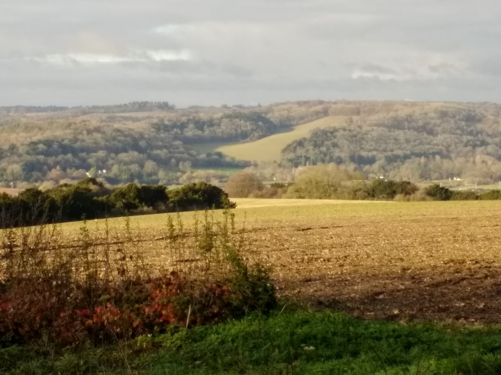
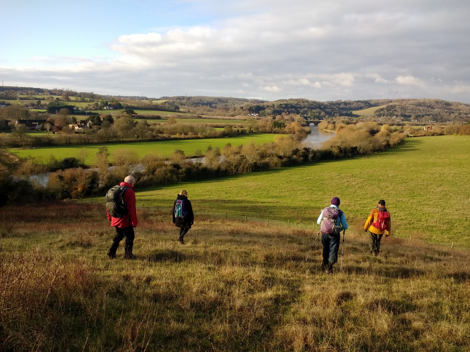
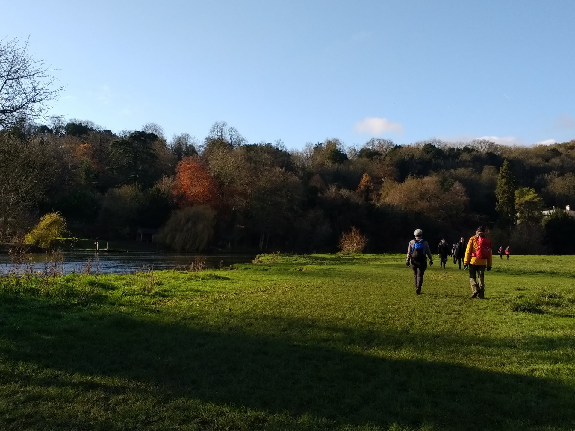
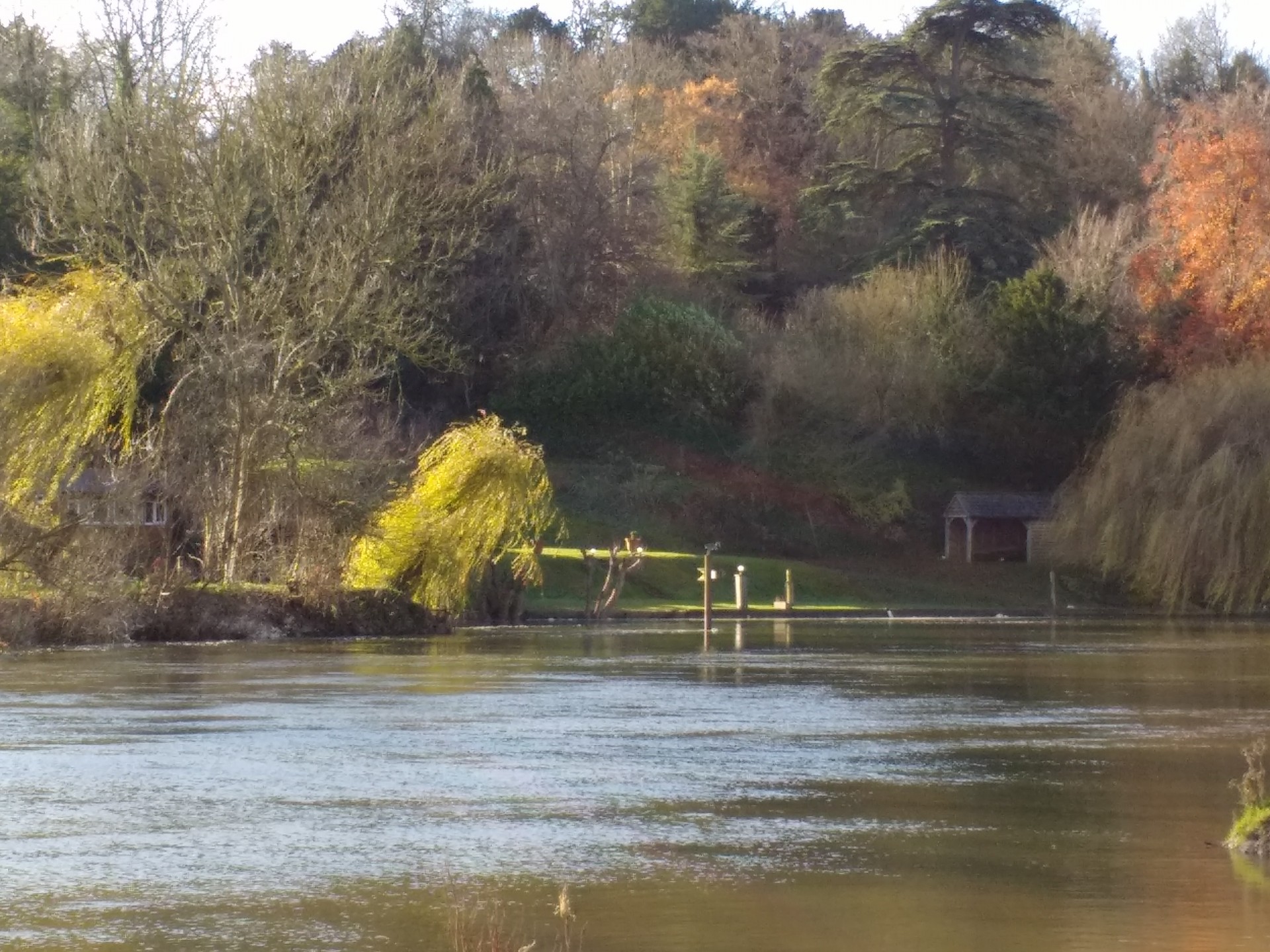
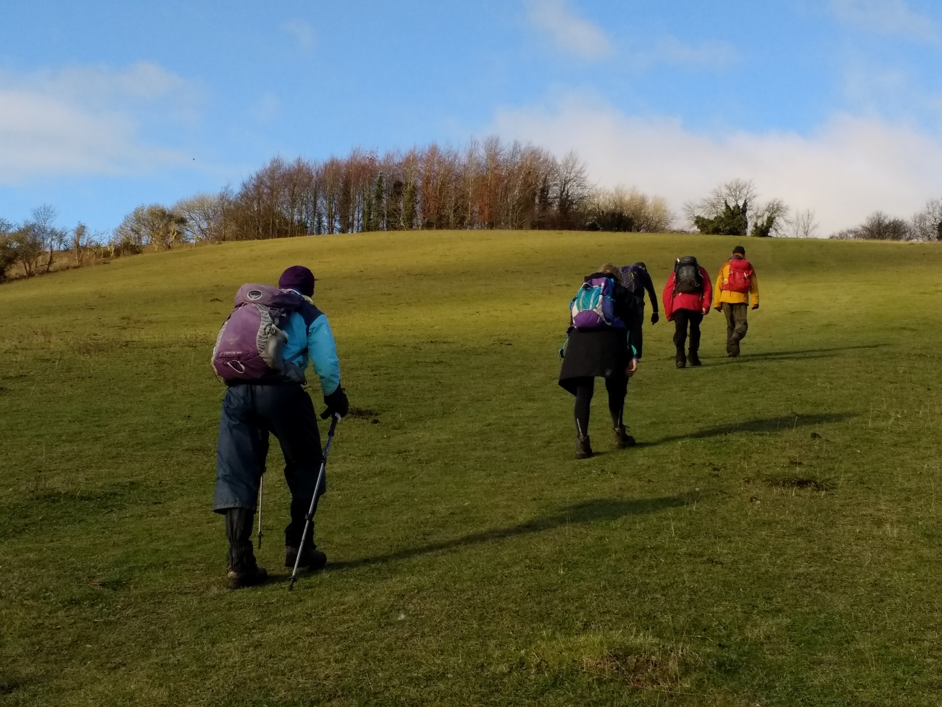
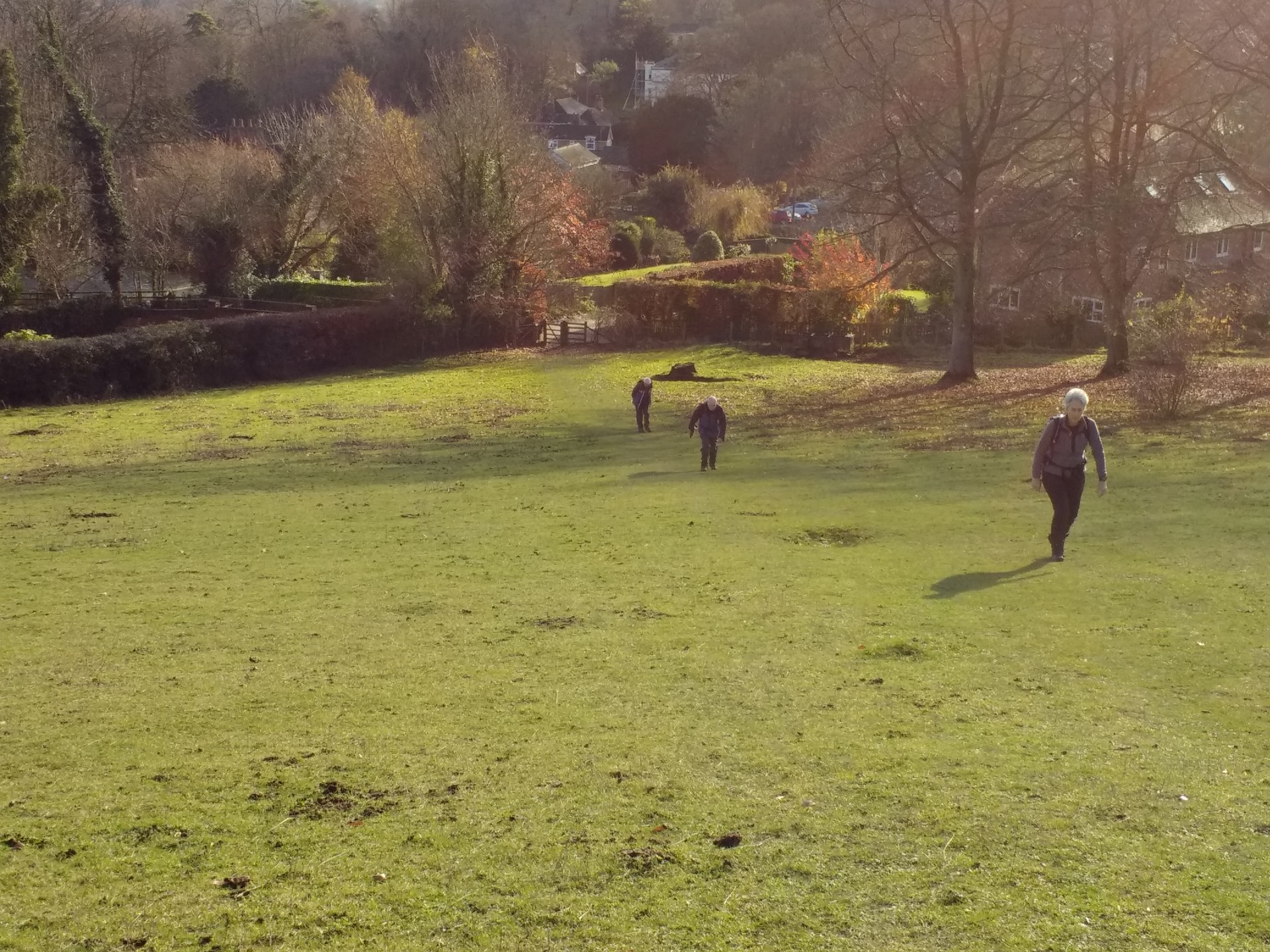
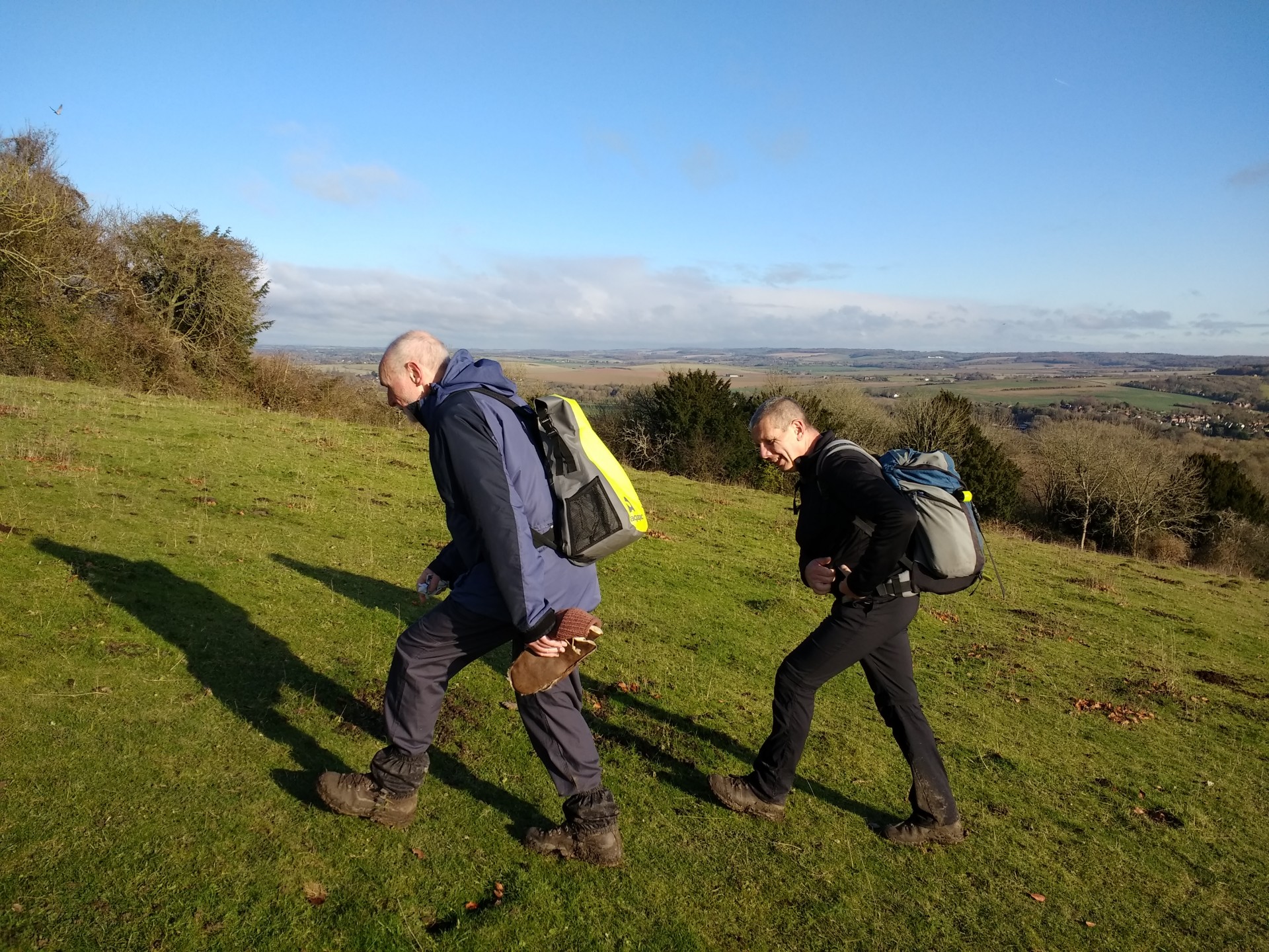
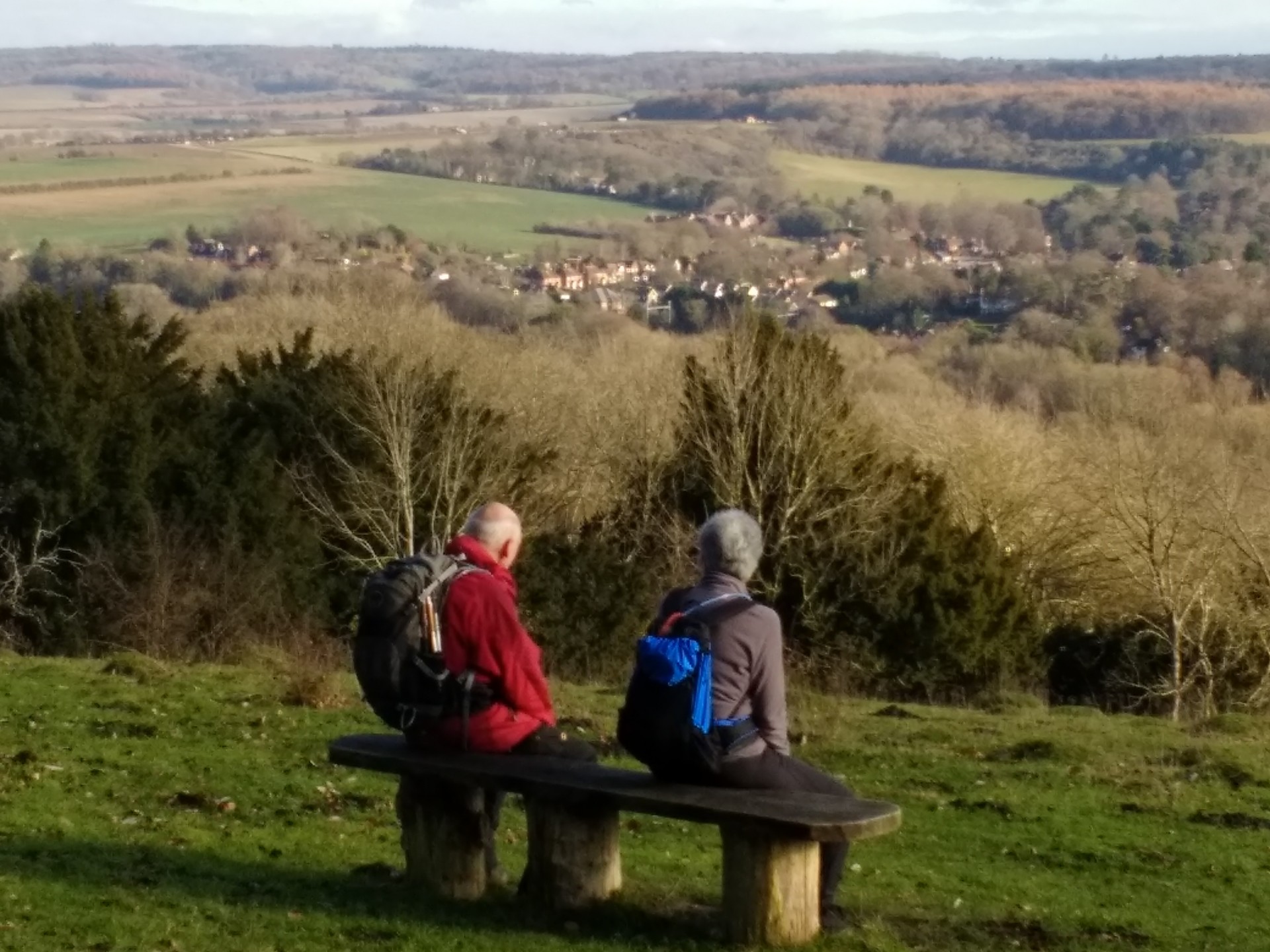
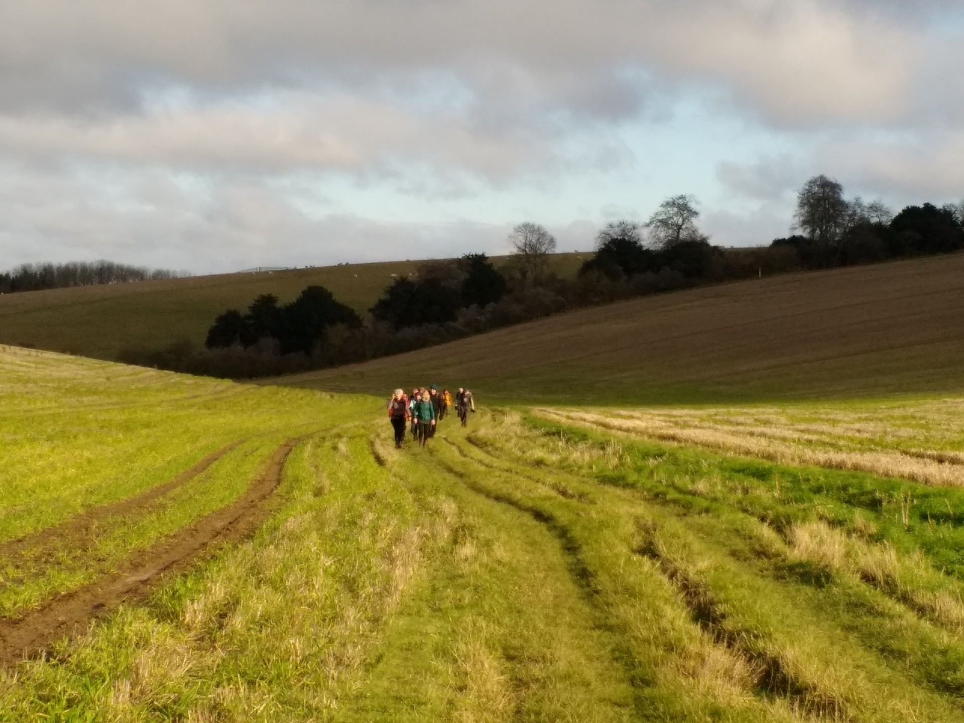
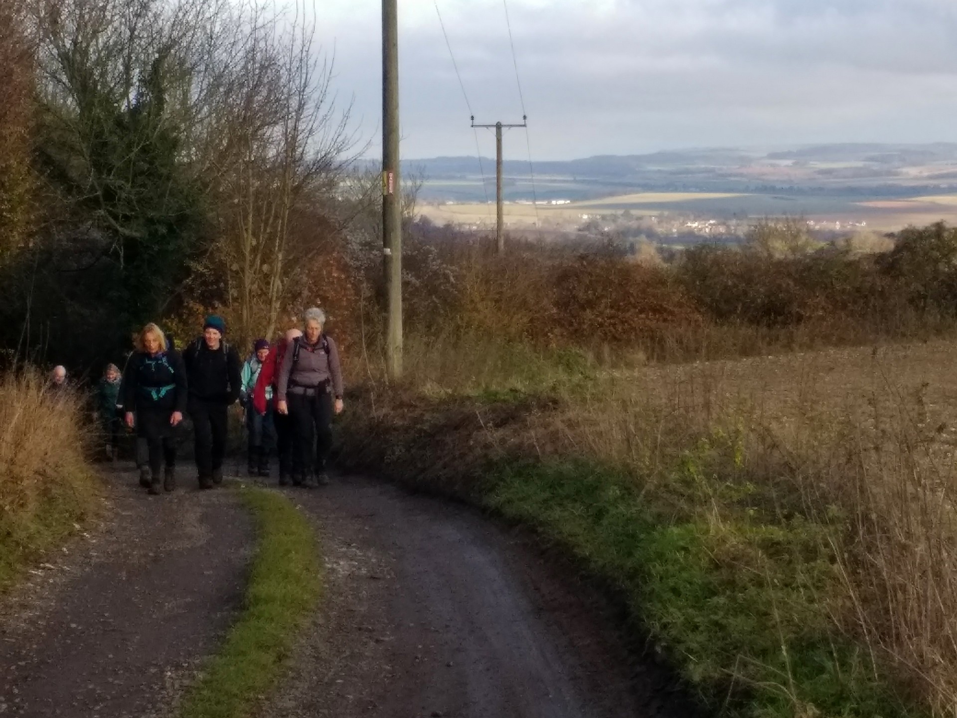
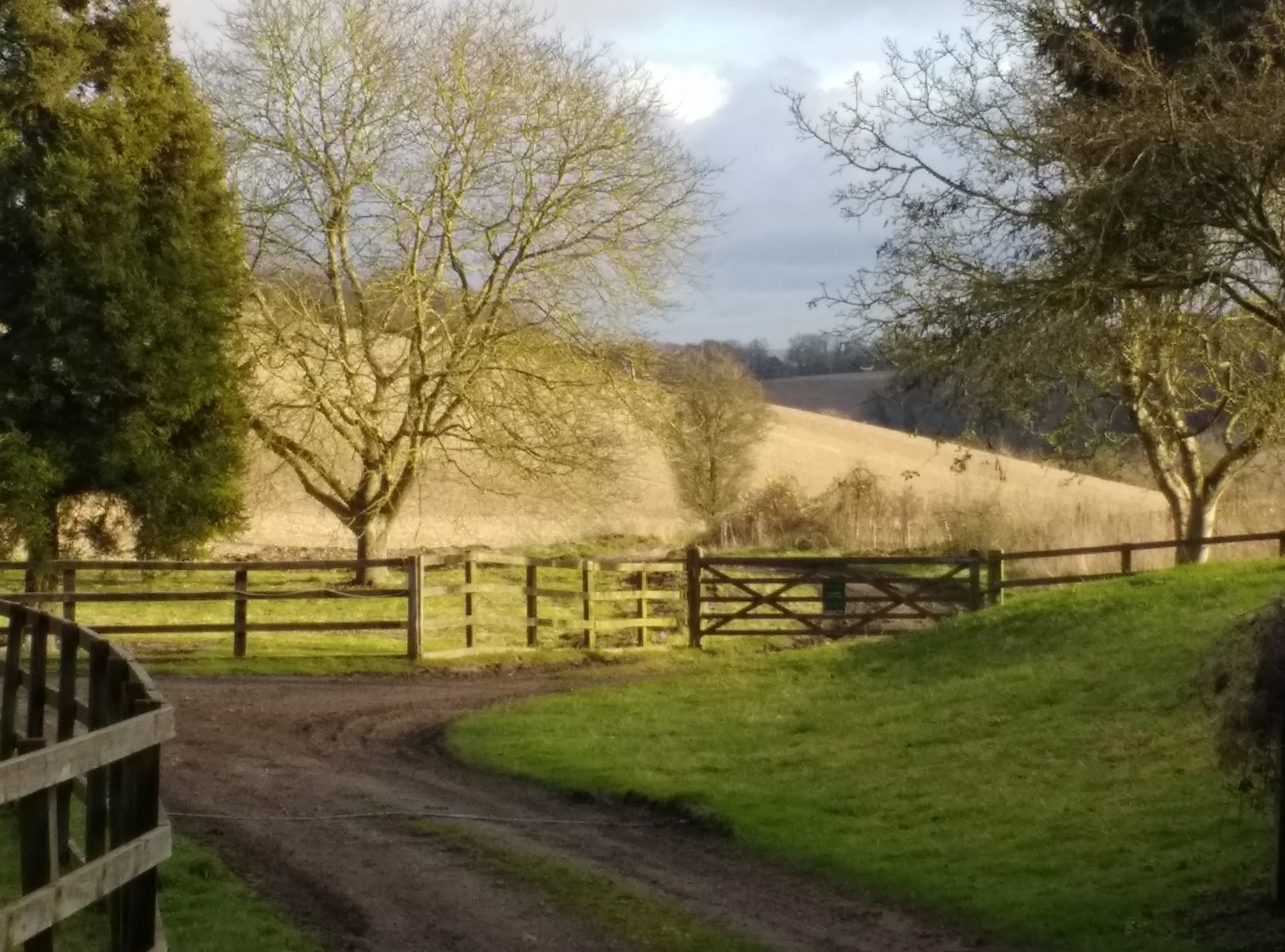
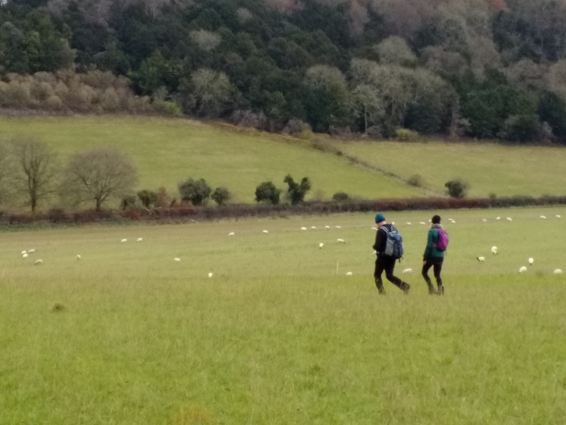
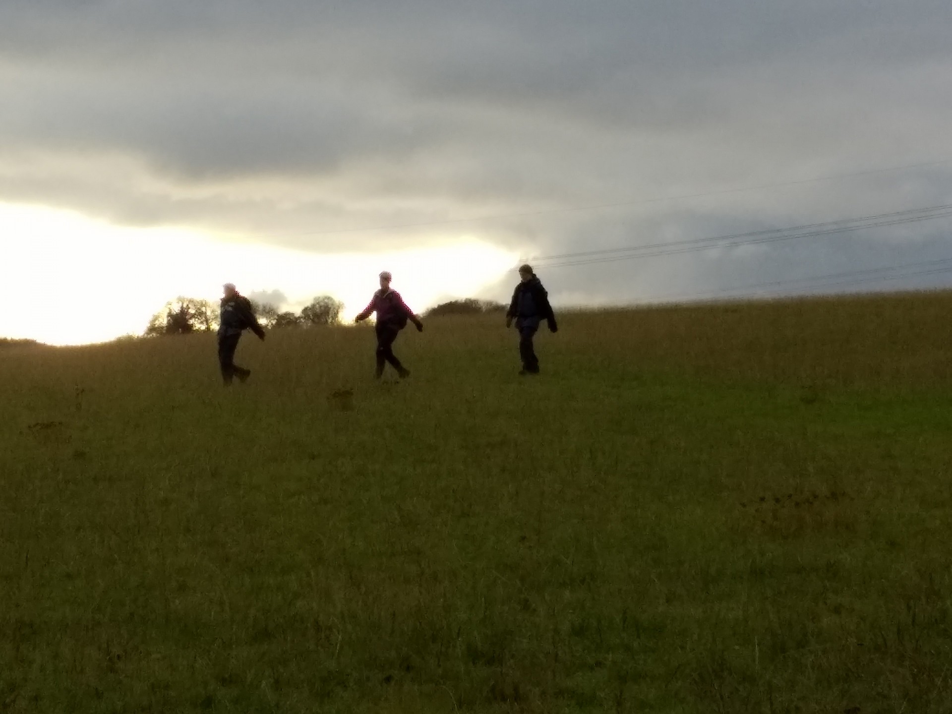
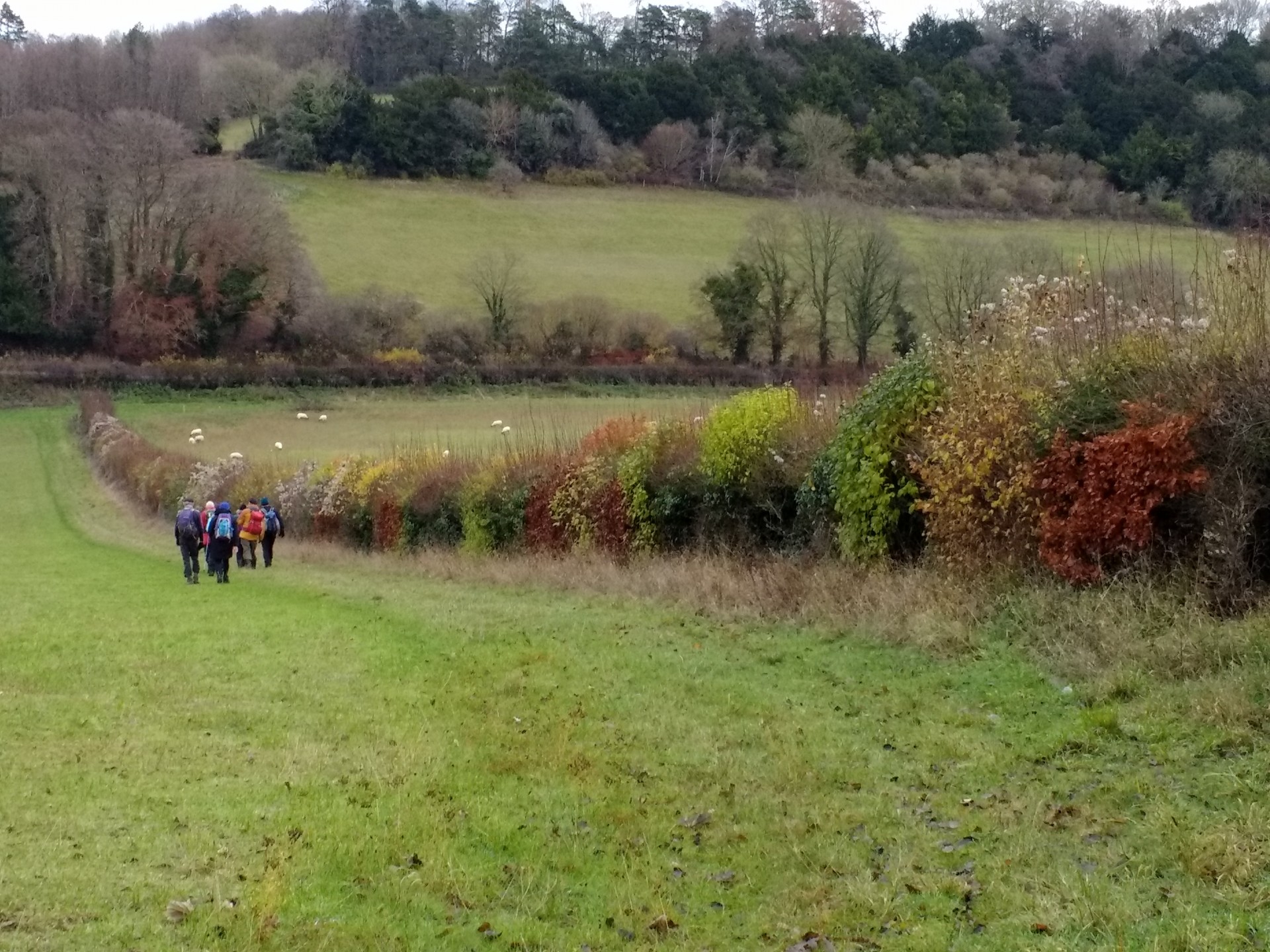
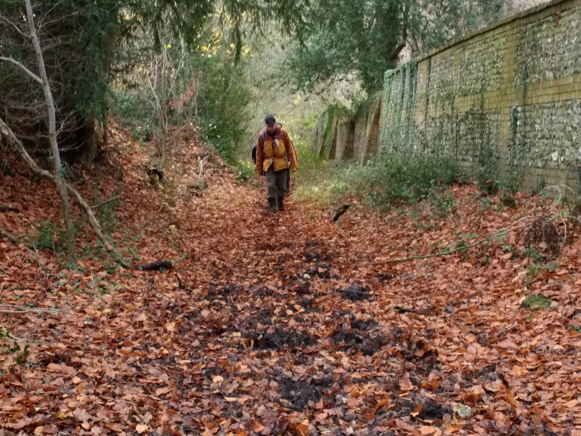
A selection of photos from the sunny part of the social walk led by David. The route visited Path Hill, the Chiltern Way Extension and the BBOWT Nature Reserve on the way to Goring. Via Lardon Chase and Lough Down the route continued to Kiddington Cottage and Westridge Green with a lunchtime stop in the woods between the Aldworth Road and Southridge. Continuing via Upper Basildon, Pangbourne College and Tidmarsh, the walk finished at Pangbourne still in reasonable daylight after 20.5 miles. We were very lucky to have slightly milder conditions than the day before with its icy minor roads, but there was still plenty of mud and green slime (not pictured).Other Files
GPX
A GPX file of the above route may be downloaded by clicking the link below.
Note: GPX files of Group Walks are created by LDWA Group members, and may be downloaded only by other LDWA members. They should not be made available outside the LDWA, and are used at members' own risk.
Login to Download (Members Only)You can use the interactive controls to zoom in and out and to move around the map, or click on a path or a marker for more info. (interactive map help)
You can use the interactive controls to zoom in and out and to move around the map, or click on a path or a marker for more info. (interactive map help)
Contains Ordnance Survey data © Crown copyright and database right 2016.
© OpenStreetMap contributors under Open Database Licence
Rights of way data from selected Local Authorities
Large scale digital mapping is provided by John Thorn
At high zoom levels the route is indicative only.
© OpenStreetMap contributors under Open Database Licence
Rights of way data from selected Local Authorities
Large scale digital mapping is provided by John Thorn
At high zoom levels the route is indicative only.
Gallery

Maps:
You can use the interactive controls to zoom in and out and to move around the map, or click on a marker for more info. (interactive map help)
Contains Ordnance Survey data © Crown copyright and database right 2016.
© OpenStreetMap contributors under Open Database Licence.
Rights of way data from selected Local Authorities.
Large scale digital mapping is provided by John Thorn.
© OpenStreetMap contributors under Open Database Licence.
Rights of way data from selected Local Authorities.
Large scale digital mapping is provided by John Thorn.


