


South of the A12 - Pop Up
Sat 9th Nov 2019
Walk Details:
Event Type
Group Walk
Region
Southern England
Local Group
London
Distance
15ml.
Start Time
09:15
Route
Start: Ingatestone station (08:48 Liverpool Street)
Finish: Harold Wood station
A shorter walk at a moderate pace visiting an area normally explored mid week. Only 20 miles from London is Essex commuter land so what can this walk offer? Come and search for the secret, enchanted countryside that lies just beyond the M25. in this much maligned county
General Notes
Lunch at country park visitor centre after approx. 10 miles (light refreshments available)
Web Site
Start and Finish
Entry Details:
Cost
Walk Report
South of the A12, Saturday 9th November 201917 walkers, 17 miles - leader Ron Williamson
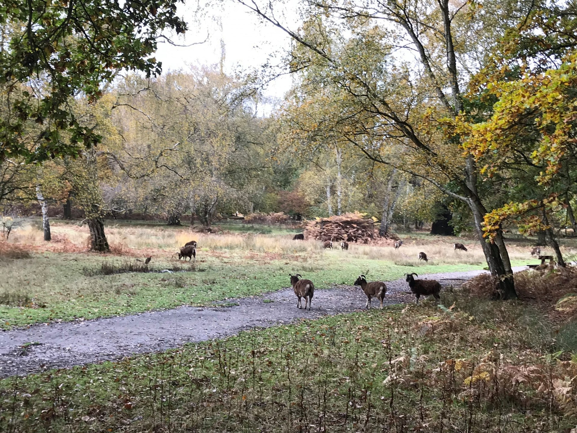
The Essex countryside was clothed in secrecy as 17 walkers set forth from Ingatestone station in thick fog, which was eventually replaced by bright sunshine, then drizzle and finally rain for the last half mile to Harold Wood. As expected ground conditions in places were very wet but remarkably largely mud free.
As is usual in this part of the county foot paths were well maintained but perhaps by an overzealous stylish work force with a passion for creating the most intricate ways of providing access from one field to the next, 4 stiles being required to bridge a gap of 20ft.
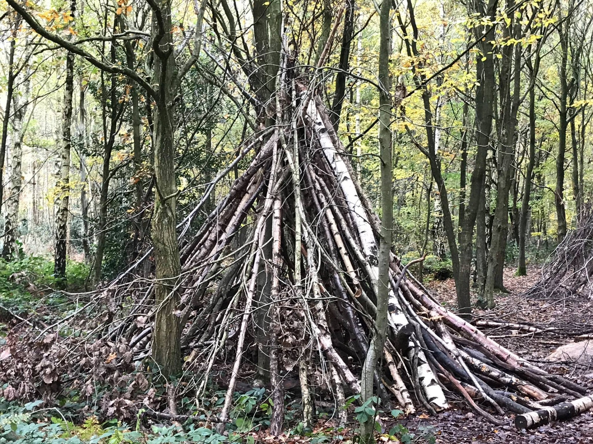
This proved to be a varied walk ranging from wide open views across the rolling countryside to the autumn beauty of the ancient forest of Thorndon Park, always close to town it was nevertheless possible to complete some 17 miles with only 1 mile being on road.
Still not sure how we managed to do an extra two miles, but clearly the advance party charging ahead through the woods in search of refreshments contributed, especially as they missed the correct turn and had to retrace their steps.
Photographs by Ian Watson; more from Ian on the group Facebook site.
Other Files
Download Walk ReportGallery


Maps:
You can use the interactive controls to zoom in and out and to move around the map, or click on a marker for more info. (interactive map help)
Contains Ordnance Survey data © Crown copyright and database right 2016.
© OpenStreetMap contributors under Open Database Licence.
Rights of way data from selected Local Authorities.
Large scale digital mapping is provided by John Thorn.
© OpenStreetMap contributors under Open Database Licence.
Rights of way data from selected Local Authorities.
Large scale digital mapping is provided by John Thorn.


