
Goring Hills and Woods
Sun 16th Jul 2017
Walk Details:
Event Type
Group Walk
Region
Southern England
Local Group
Thames Valley
Distance
c20ml.
Start Time
09.00
Route
Goring on Thames village c.p. (behind shops)
Web Site
Start and Finish
Entry Details:
Cost
Walk Report
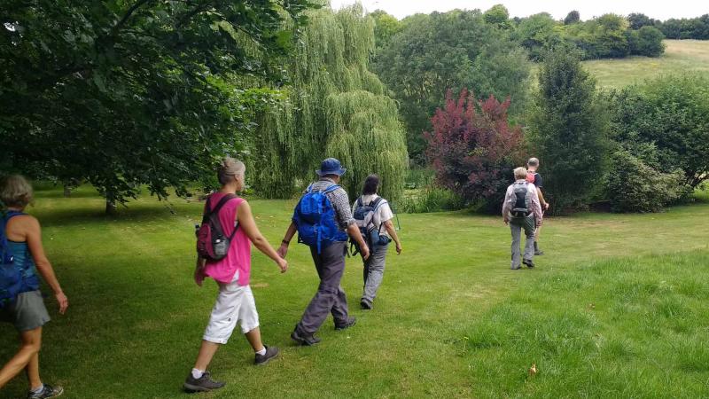
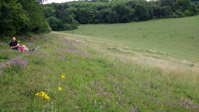
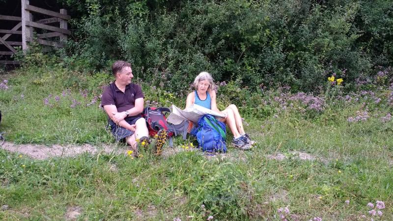
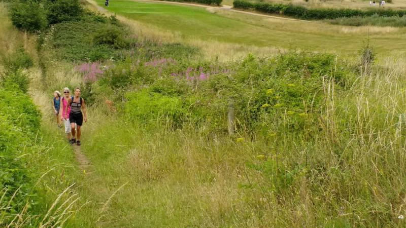
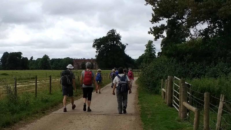
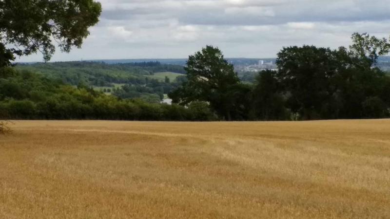
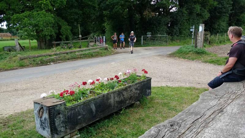
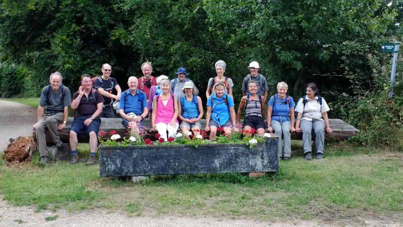
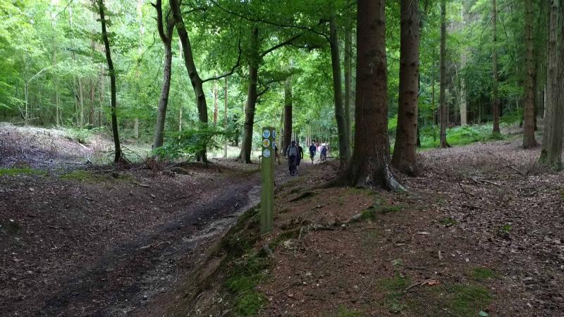
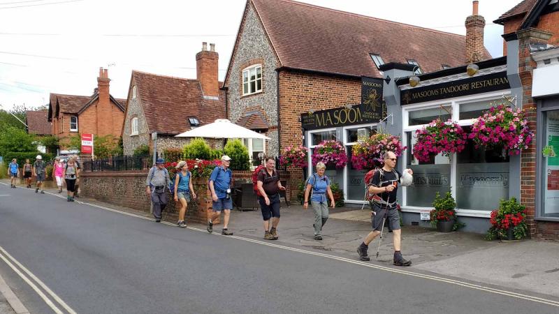
In the past weeks, Goring had had more than its fair share of excitement: the George Michael birthday celebrations with fans dancing in the streets; a visit from the Flying Scotsman; a BBC crew filming the Goring Gap's prolific entry for the Britain in Bloom competition; two major ultra events passing through; and to cap it all, Thames Valley LDWA had organised a group walk from the village car park.This was also David N's second lead in only just over a month and on a completely different route from the June Pang Valley Circular (no repeats here!). There were Ups and there were Downs but generally moderate undulations when compared with some of the Goring Gap's more Gruelling Gradients. The route mostly followed the Chiltern Way Extension for the first part of the morning (cutting across in Wroxhill Woods) and pausing at a convenient viewpoint amid wildflowers at John's Gate after just over 5 miles.
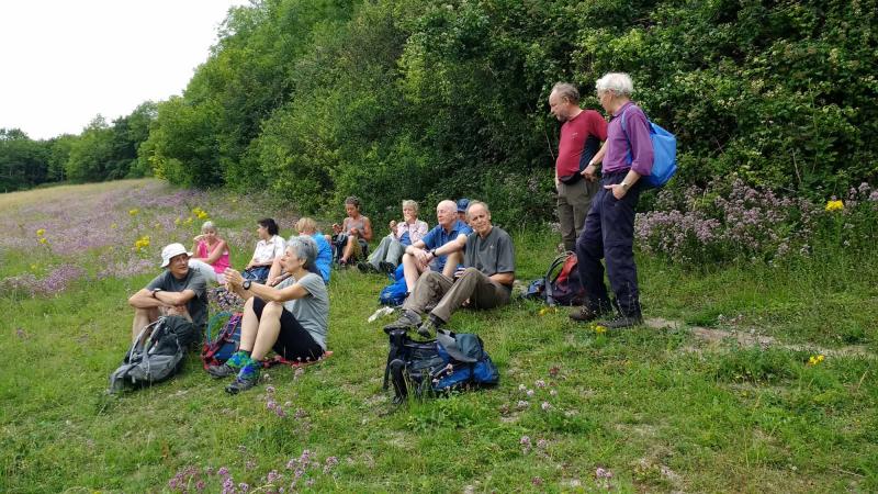
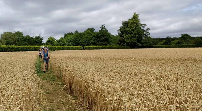
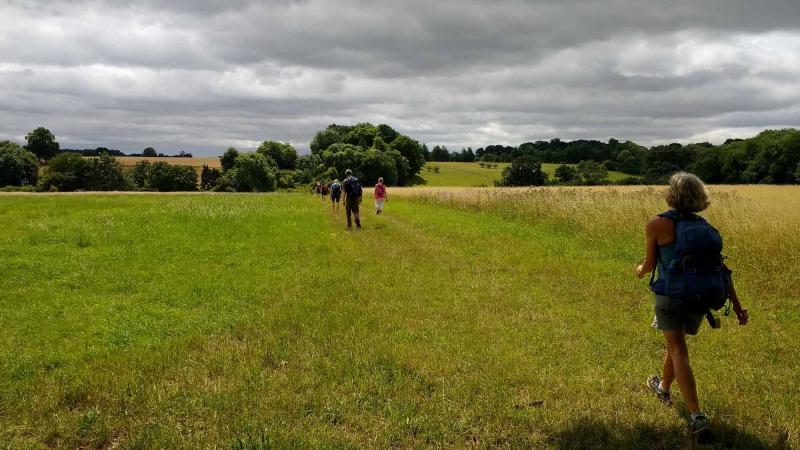
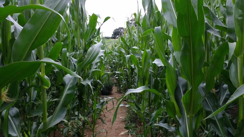
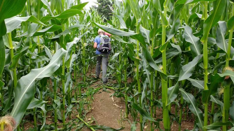
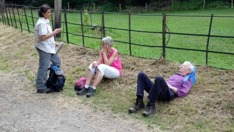
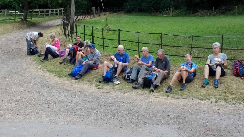
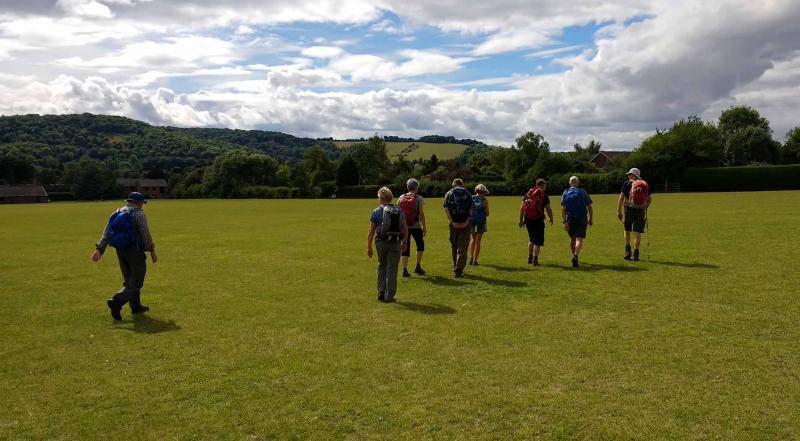
Leaving the CW the route led eastward past Checkendon, the usually much more deeply muddy Judges Road, Wyfold Court, Cane End and well beyond the A4074 to a lunch stop in open fields on the way to Trench Green with a cool breeze but an optional dietary supplement of live ants. Again eastwards the route continued around Chazey Heath (or Maize-y Heath at times), past the golf course and Delta Force Paintball (unconnected), and down to return along the line of the river past Mapledurham House to the Hardwick Estate.
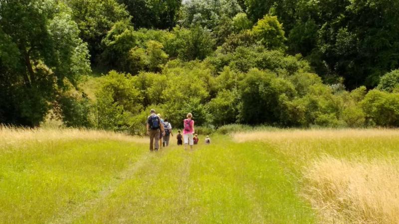
In humid ("enervating" as someone said) conditions and steadily rising temperatures, the final leg was up the "Ramp" into Hardwick Woods to rejoin the CW for most of the way via Whitchurch Hill and the Great Chalk Wood back to Goring and an eagerly-anticipated visit to the pub for part of the group (even without the George Michael tribute band): 21.5 miles.
Article and photos by Helen Abbott.
Gallery
Maps:
You can use the interactive controls to zoom in and out and to move around the map, or click on a marker for more info. (interactive map help)
Contains Ordnance Survey data © Crown copyright and database right 2016.
© OpenStreetMap contributors under Open Database Licence.
Rights of way data from selected Local Authorities.
Large scale digital mapping is provided by John Thorn.
© OpenStreetMap contributors under Open Database Licence.
Rights of way data from selected Local Authorities.
Large scale digital mapping is provided by John Thorn.


