


EXTRA WALK - Bloomsbury explorer before the AGM
Thu 18th Feb 2016
Walk Details:
A leisurely walk in the Islington/Bloomsbury area starting at 2.00pm from Angel tube station and making time for afternoon tea before finishing at The Perseverance at 17:30
Entry Details:
Walk Report
Pre-AGM Bloomsbury Walk, Thursday 18th February 20168 walkers, 8.5 miles - leader Ron Williamson
Ron had a good turnout for this early-season midweek urban hike, in advance of the London LDWA AGM at the "Perseverance" in Lambs Conduit St. The group enjoyed an interesting 8-mile walk in lovely early Spring sunshine (included a tea stop), and arrived at the pub just in time for a swift pint before the evening's proceedings.
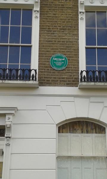
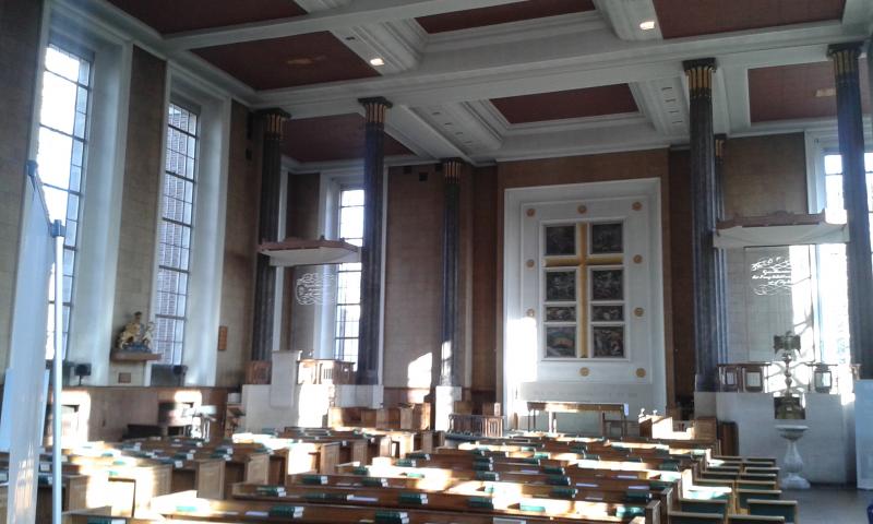
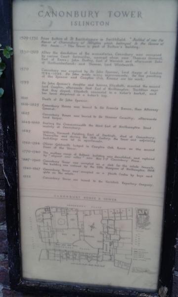
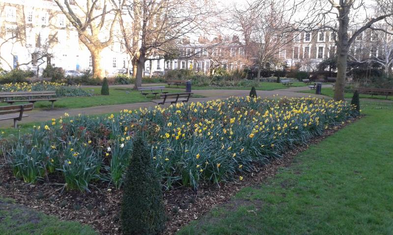
Photographs by Roderick Smith
Other Files
Download Walk ReportGPX
A GPX file of the above route may be downloaded by clicking the link below.
Note: GPX files of Group Walks are created by LDWA Group members, and may be downloaded only by other LDWA members. They should not be made available outside the LDWA, and are used at members' own risk.
Login to Download (Members Only)You can use the interactive controls to zoom in and out and to move around the map, or click on a path or a marker for more info. (interactive map help)
You can use the interactive controls to zoom in and out and to move around the map, or click on a path or a marker for more info. (interactive map help)
© OpenStreetMap contributors under Open Database Licence
Rights of way data from selected Local Authorities
Large scale digital mapping is provided by John Thorn
At high zoom levels the route is indicative only.
Gallery


Maps:
You can use the interactive controls to zoom in and out and to move around the map, or click on a marker for more info. (interactive map help)
© OpenStreetMap contributors under Open Database Licence.
Rights of way data from selected Local Authorities.
Large scale digital mapping is provided by John Thorn.


