


Epping and the North
Sat 16th Apr 2016
Walk Details:
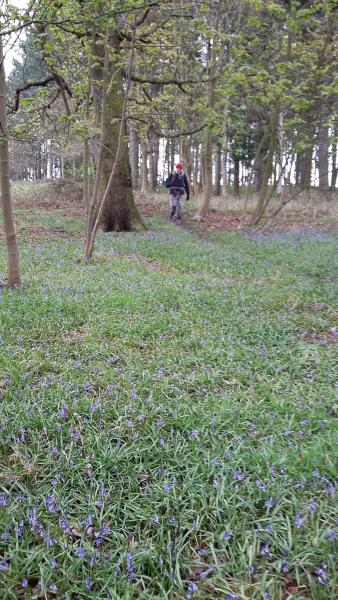
An exploration of the lands beyond the known universe (or the Central Line), starting at Epping station, visiting Copped Hall (outside only), Epping Long Green (the M11 of its day), approaching to within 100 metres of Harlow, Hastingwood, North Weald Bassett nature reserve, Birching Coppice, Gernon Bushes, the western terminus of the Epping and Ongar Railway and the notorious Steward's Green Lane before returning to Epping Station.
Takes in parts of both the Three Forests Way and the Stort Valley Way.
Stopping at Epping Green (7 miles), Hastingwood (10 miles), Gernon Bushes (17 miles)
Entry Details:
Walk Report
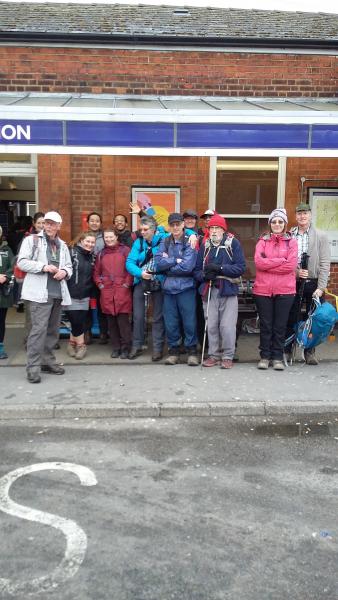
Epping and the North, Saturday 16th April 201619 walkers, 20 miles - leader Dick Bowman
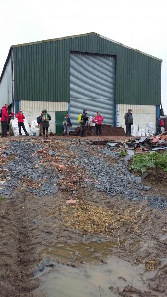
19 intrepid souls dared to turned up at Epping Station on Saturday morning for a traipse around Epping Forest led by Dick, little realising what lay in store for them!
Fair to say no-one went home disappointed, everyone without doubt got their money's worth, some more than others!
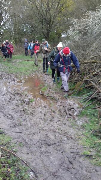
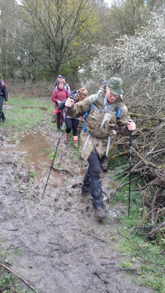
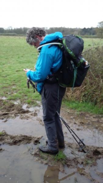
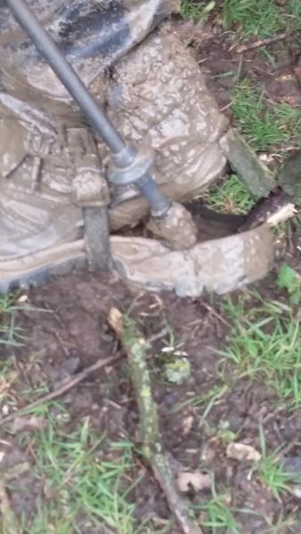
With the recent inclement weather conditions underfoot were somewhat testing to say the least which was sadly confirmed after the mid-morning pause when disaster struck, this unfortunate writer suffering a serious footwear malfunction which sadly forced him to abandon the walk soon after!
However I'm pleased to report that the remainder of the walk proceeded smoothly with the rest of the Group soldiering on.
There was certainly enough mud to go round for everyone and with the sun making a belated appearance it was a very satisfied party that returned to Epping well pleased with their day's efforts which was in no small part down to Dick's sterling effort in putting together such an absorbing walk.
Report by Dave Williams
Photographs by Joelle Paul
Other Files
Download Walk ReportGPX
A GPX file of the above route may be downloaded by clicking the link below.
Note: GPX files of Group Walks are created by LDWA Group members, and may be downloaded only by other LDWA members. They should not be made available outside the LDWA, and are used at members' own risk.
Login to Download (Members Only)You can use the interactive controls to zoom in and out and to move around the map, or click on a path or a marker for more info. (interactive map help)
You can use the interactive controls to zoom in and out and to move around the map, or click on a path or a marker for more info. (interactive map help)
© OpenStreetMap contributors under Open Database Licence
Rights of way data from selected Local Authorities
Large scale digital mapping is provided by John Thorn
At high zoom levels the route is indicative only.
Gallery


Maps:
You can use the interactive controls to zoom in and out and to move around the map, or click on a marker for more info. (interactive map help)
© OpenStreetMap contributors under Open Database Licence.
Rights of way data from selected Local Authorities.
Large scale digital mapping is provided by John Thorn.


