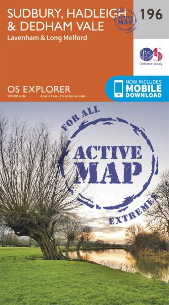
Every part of England, Scotland and Wales is covered by 403 maps specially designed for walkers, off-road cyclists, horse riders and all involved in outdoor activities. The Active maps are an encapsulated map that is tough, durable and weatherproof. The maps are covered in a protective plastic coating that can be written on, so your favourite routes can be easily highlighted. They are more costly but more durable and may obviate the need for a map case, though they are bulkier and heavier. The Outdoor Leisure map series and the Pathfinder map series have been integrated with the OS Explorer Map series.

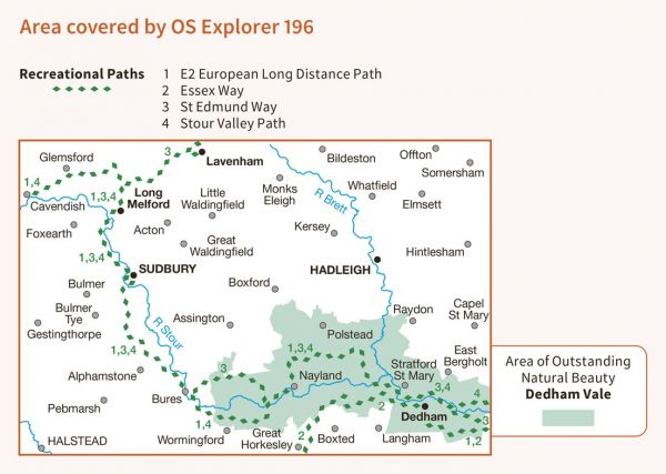

| Colne Valley Path (Essex) | 37 km / 23 miles |
| Constable Beat | 45 km / 28 miles |
| Constable Beat - Alphamstone | 6 km / 4 miles |
| E-Path 2 UK Section - Middleton-in-Teesdale to Harwich | 853 km / 530 miles |
| Essex Way | 132 km / 82 miles |
| Green Corridor | 183 km / 114 miles |
| Hinckford Path Care | 47 km / 29 miles |
| Jonathon's Journey | 119 km / 74 miles |
| Lasso Essex - Mastodon Echo (09) | 45 km / 28 miles |
| Lasso Essex - Olmsteady Sage (11) | 43 km / 27 miles |
| Lasso Essex - Stourdale Rhapsodic (10) | 37 km / 23 miles |
| Maria Mehalah Macabre | 45 km / 28 miles |
| Nelson Way | 650 km / 404 miles |
| Puddly Mud Crawl | 40 km / 25 miles |
| St Edmund Way | 129 km / 80 miles |
| Stour Valley Path (East Anglia) | 96 km / 60 miles |
| Suffolk Coast Walk | 261 km / 162 miles |
| Suffolk Way | 182 km / 113 miles |
| Tour de Braintree | 143 km / 89 miles |
| Walks in Colne Zolne | 122 km / 76 miles |
| West Tendring Marathon | 51 km / 32 miles |
| Wool Towns Walk | 79 km / 49 miles |
