


Sevenoaks Saunter
Sat 6th Aug 2022
Walk Details:
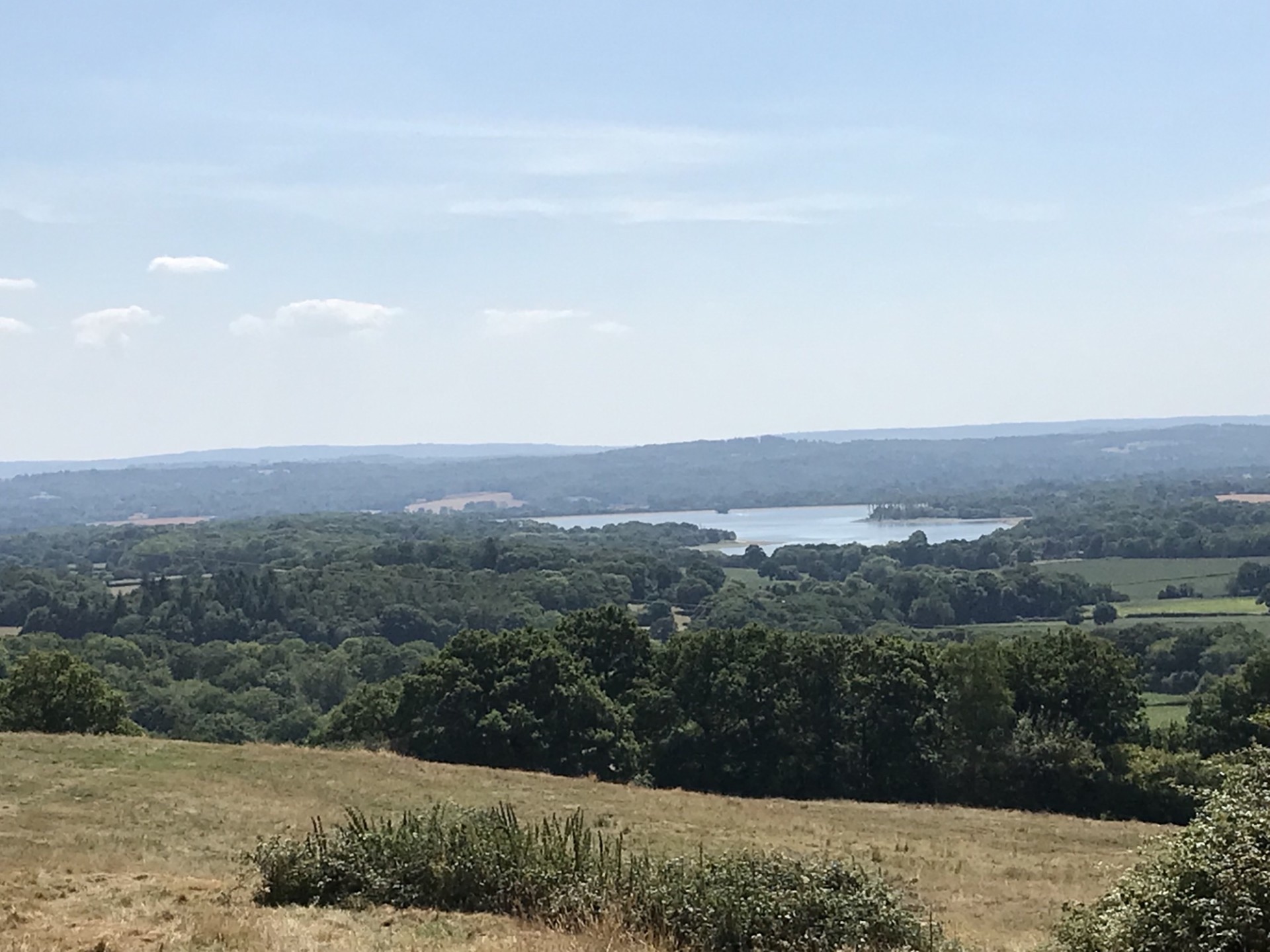
A moderate paced walk in Sevenoaks area, undulating, some woods for shade, a few stiles, lovely views of Kent including Bough Beech reservoir, passing through Knole Park and Igtham Mote. There are a couple of proper toilets on the route, a small shop to buy provisions, option for a pub stop toward the end, and it will be a picnic lunch
Entry Details:
Walk Report
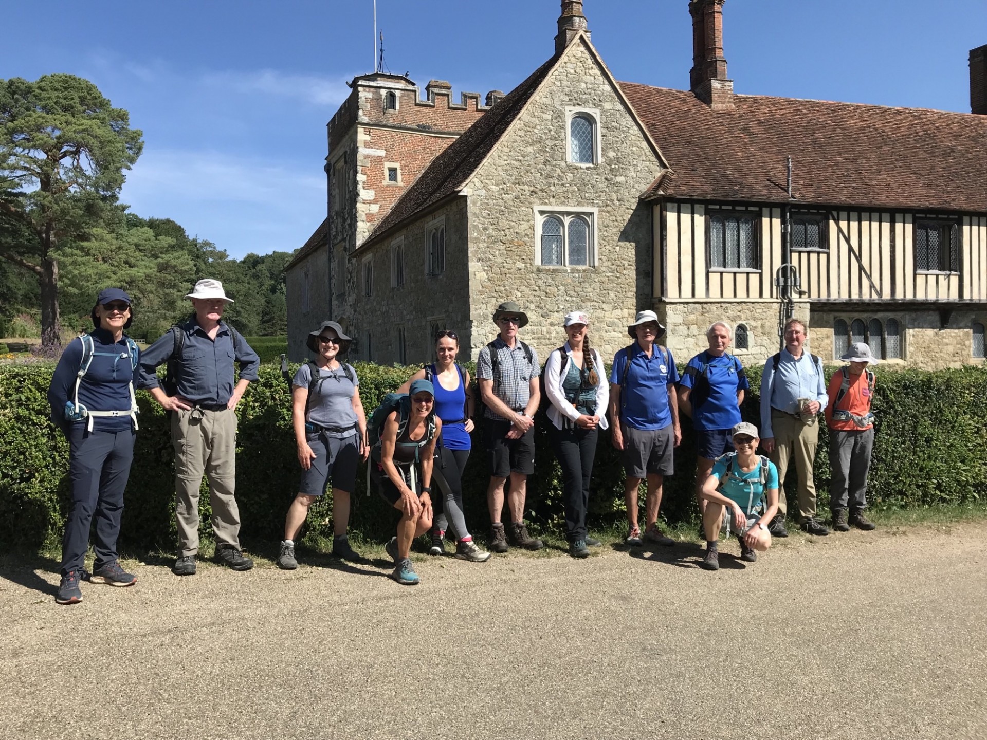
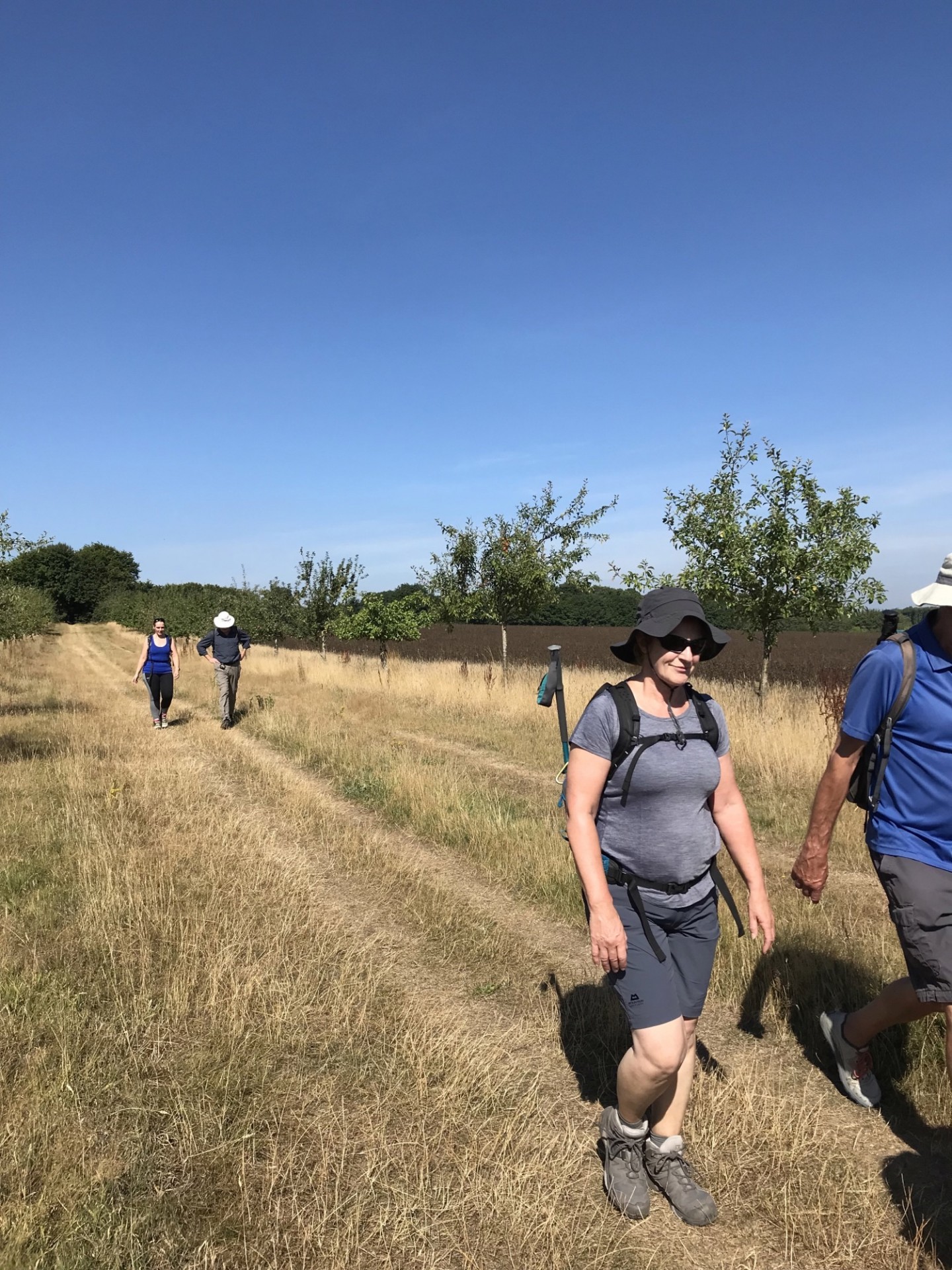
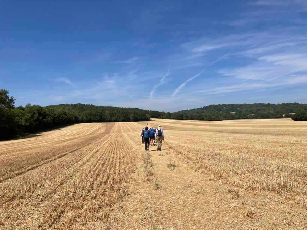
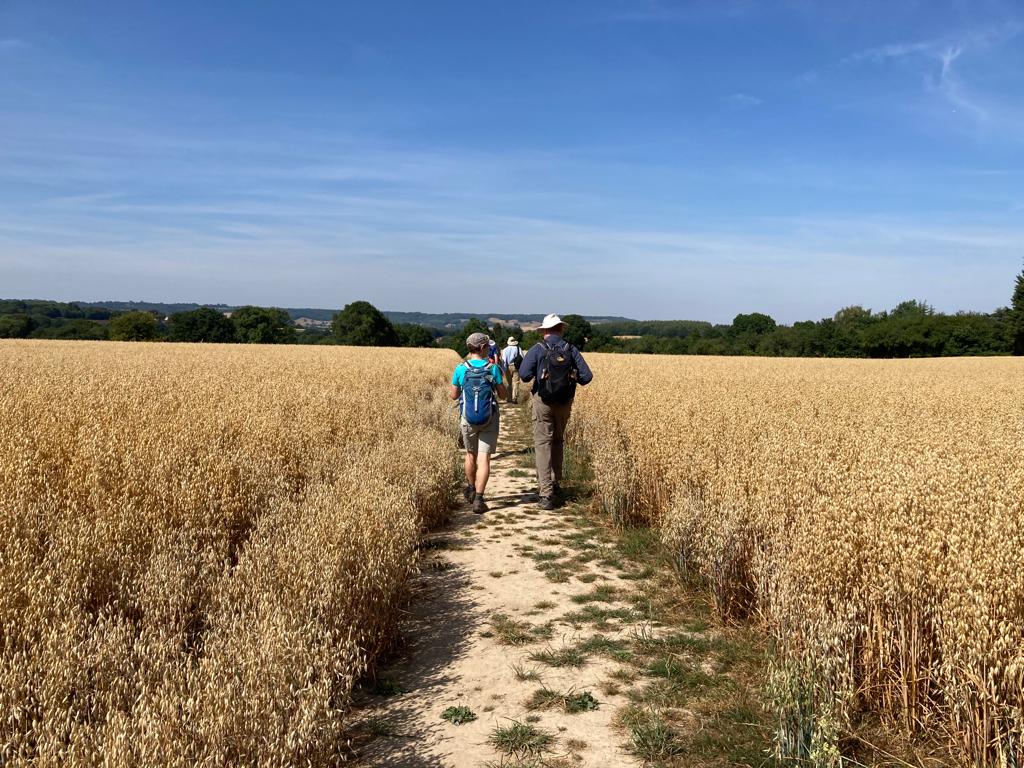
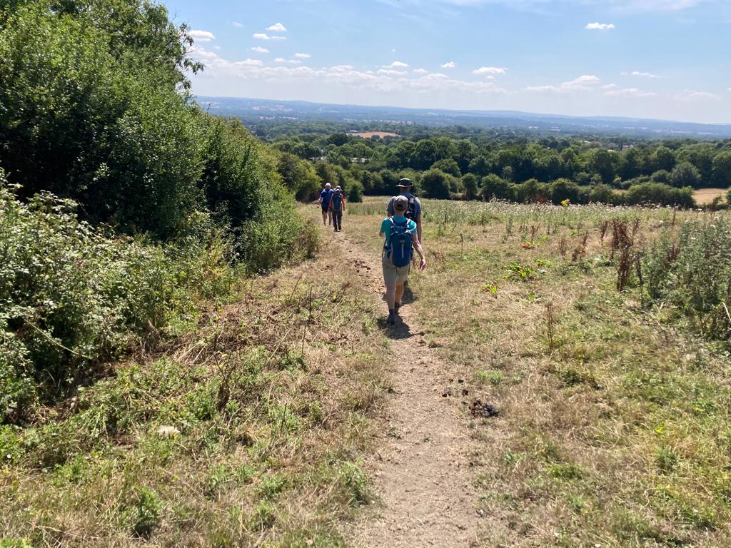
13 walkers, 22 miles - leader Jude UnsworthThe Sevenoaks Saunter was a joy to lead as the area is beautiful, the sun was out and the 13 people who came along were lovely.
The walk was just under 22 miles, there was a last minute change to a section that avoided work on Gracious Lane bridge. We skirted on the edge of Knole Park before passing Igtham Mote for a group photo opportunity. Walking towards Shipbourne Church we heard wedding bells, stopped for a quick tea break in the churchyard while the bride was then coming up the path.
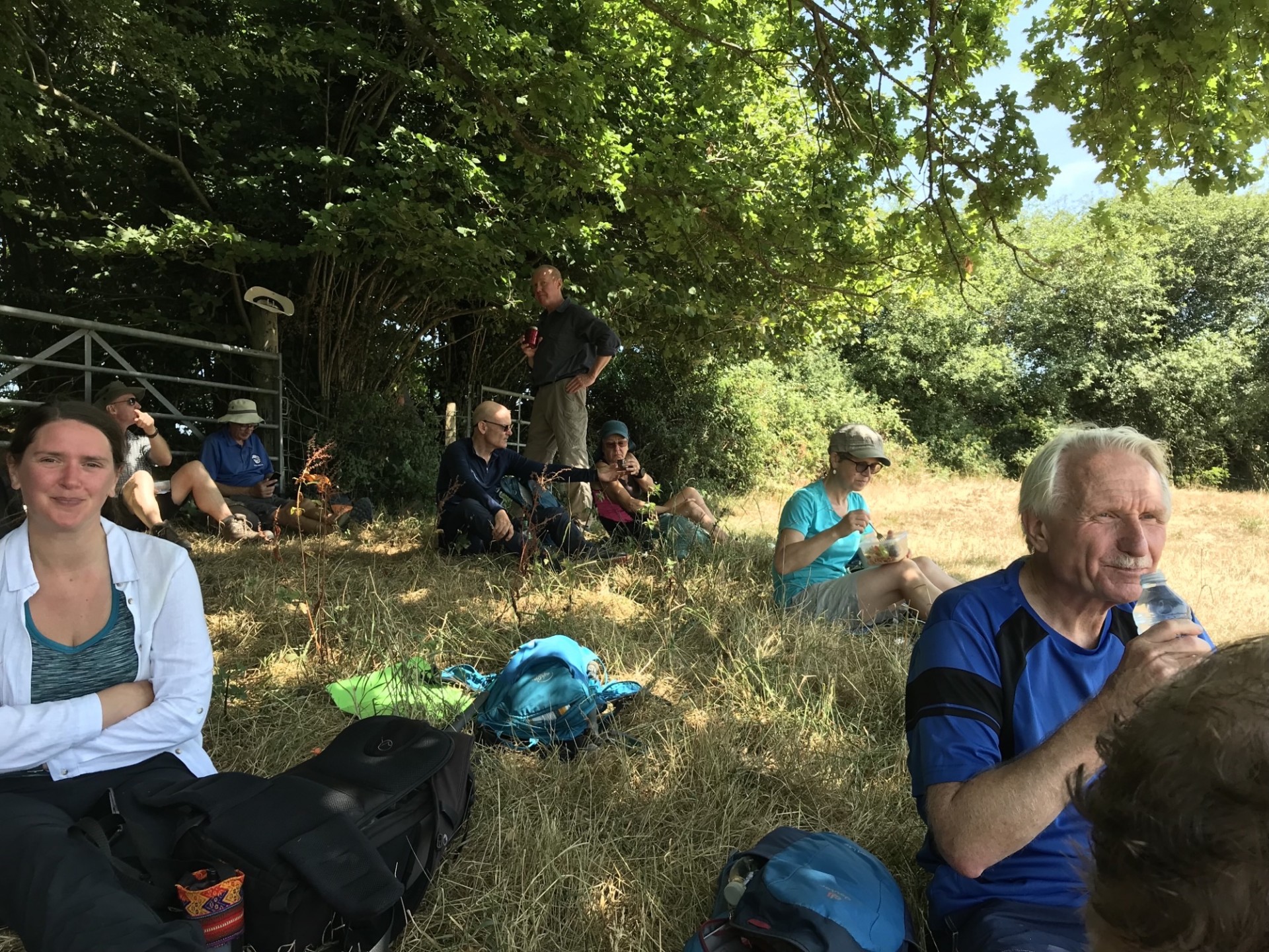
Walked along some of the Greensand Way which led us to a perfect picnic spot for lunch with a distant view of Bough Beech Reservoir. A few of us had a refreshing ice cream/lolly at Ide Hill while others had a swift but refreshing pint at the pub. The last part of the walk took us through Dry Hill, the edge of the Montreal Estate and wheat fields back in to Sevenoaks.
Photographs by Jude Unsworth & Belinda Cortes Martin
Other Files
Download Walk ReportGPX
A GPX file of the above route may be downloaded by clicking the link below.
Note: GPX files of Group Walks are created by LDWA Group members, and may be downloaded only by other LDWA members. They should not be made available outside the LDWA, and are used at members' own risk.
Login to Download (Members Only)You can use the interactive controls to zoom in and out and to move around the map, or click on a path or a marker for more info. (interactive map help)
You can use the interactive controls to zoom in and out and to move around the map, or click on a path or a marker for more info. (interactive map help)
© OpenStreetMap contributors under Open Database Licence
Rights of way data from selected Local Authorities
Large scale digital mapping is provided by John Thorn
At high zoom levels the route is indicative only.
Gallery
Maps:
You can use the interactive controls to zoom in and out and to move around the map, or click on a marker for more info. (interactive map help)
© OpenStreetMap contributors under Open Database Licence.
Rights of way data from selected Local Authorities.
Large scale digital mapping is provided by John Thorn.


