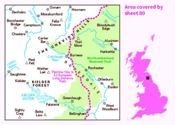
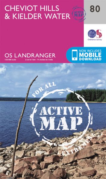
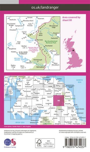
Ordnance Survey has every part of Great Britain covered in this versatile active map format. In 2007 it introduced 25 all-weather titles of its 1:50 000 OS Landranger Maps. Each Landranger Active map covers an area of 40 km by 40 km (25 miles by 25 miles). The Active maps are an encapsulated map that is tough, durable and weatherproof. The maps are covered in a protective plastic coating that can be written on, so your favourite routes can be easily highlighted. They are more costly but more durable and may obviate the need for a map case, though they are bulkier and heavier. And since then there has been a growing demand to make the entire OS Landranger Map series available.

| Alternative Coast to Coast | 320 km / 199 miles |
| Bellingham Trail | 50 km / 31 miles |
| Berwick Borough Boundary Walk | 174 km / 108 miles |
| Borders Abbeys Way | 109 km / 68 miles |
| Central Scottish Way | 235 km / 146 miles |
| Cheviot 2,000's | 40 km / 25 miles |
| Cross Crags Trail | 47 km / 29 miles |
| Crossborder Trail | 47 km / 29 miles |
| E-Path 2 UK Section - Stranraer to Middleton-in-Teesdale | 499 km / 310 miles |
| Emblehope Trail | 92 km / 57 miles |
| Falstone Trail | 24 km / 15 miles |
| Inn Way ... to Northumberland | 158 km / 98 miles |
| Kielder Lakeside Way | 42 km / 26 miles |
| Lakeland to Lindisfarne | 320 km / 199 miles |
| Northern Crossway | 315 km / 196 miles |
| Northern Trek | 895 km / 556 miles |
| Pennine Way Cheviot Spur | 2 km / 1 miles |
| Pennine Way National Trail | 407 km / 253 miles |
| Ravenber Way | 338 km / 210 miles |
| Reiver's Way | 242 km / 150 miles |
| River Tyne Trail - River North Tyne | 68 km / 42 miles |
| St Aelred's Way | 277 km / 172 miles |
| St Wilfrid's Way | 225 km / 140 miles |
| Three Peaks of Cheviot | 48 km / 30 miles |
| Tops of the North (Carlisle and Cheviot to Cat and Fiddle) | 713 km / 443 miles |
