Every part of England, Scotland and Wales is covered by 403 maps specially designed for walkers, off-road cyclists, horse riders and all involved in outdoor activities. The older Outdoor Leisure map series and the Pathfinder map series have been integrated with the OS Explorer Map series.

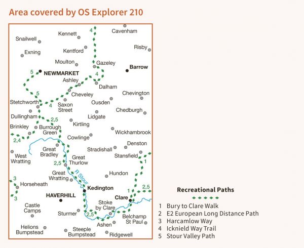
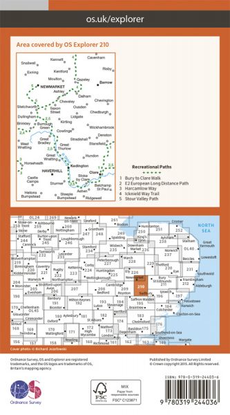
| Bury to Clare Walk | 29 km / 18 miles |
| Canon's Canter | 56 km / 35 miles |
| E-Path 2 UK Section - Middleton-in-Teesdale to Harwich | 853 km / 530 miles |
| Fleam Dyke and Roman Road Walk | 40 km / 25 miles |
| Great Chalk Way | 605 km / 376 miles |
| Harcamlow Way | 227 km / 141 miles |
| Hinckford Path Care | 47 km / 29 miles |
| Icknield Way Path | 180 km / 112 miles |
| Icknield Way Trail | 235 km / 146 miles |
| Icknield Way Trail - Newmarket Alternative | 23 km / 14 miles |
| Lasso Essex - Granta Cam Country (12) | 42 km / 26 miles |
| Lasso Essex - Olmsteady Sage (11) | 43 km / 27 miles |
| Long Path | 772 km / 480 miles |
| Stour Valley Path (East Anglia) | 96 km / 60 miles |
| Tour de Braintree | 143 km / 89 miles |
| Uttlesford Way | 92 km / 57 miles |
| Walks in Colne Zolne | 122 km / 76 miles |
| Wool Towns Walk | 79 km / 49 miles |
