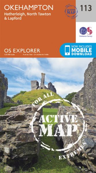
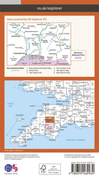
Every part of England, Scotland and Wales is covered by 403 maps specially designed for walkers, off-road cyclists, horse riders and all involved in outdoor activities. The Active maps are an encapsulated map that is tough, durable and weatherproof. The maps are covered in a protective plastic coating that can be written on, so your favourite routes can be easily highlighted. They are more costly but more durable and may obviate the need for a map case, though they are bulkier and heavier. The Outdoor Leisure map series and the Pathfinder map series have been integrated with the OS Explorer Map series.

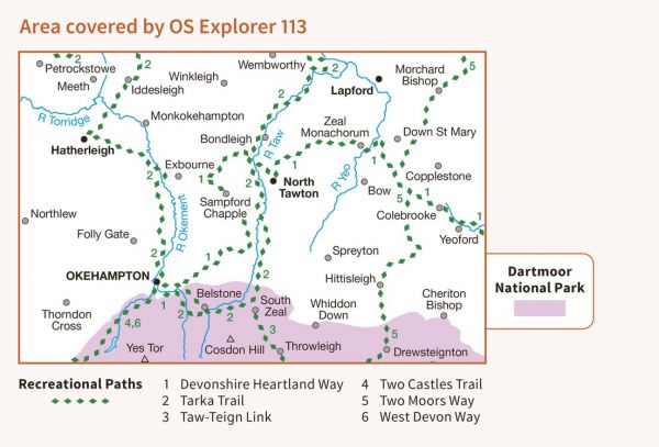
| Archangel Way | 48 km / 30 miles |
| Celtic Way The Exmoor Option | 192 km / 119 miles |
| Dartmoor Perambulation | 80 km / 50 miles |
| Dartmoor Ramble | 79 km / 49 miles |
| Dartmoor Way | 172 km / 107 miles |
| Dartmoor Way (Alternative) Belstone to Okehampton | 3 km / 2 miles |
| Devonshire Heartland Way | 69 km / 43 miles |
| Granite Way | 16 km / 10 miles |
| King Arthur Way | 249 km / 155 miles |
| Land's End Trail | 488 km / 303 miles |
| Long Path | 772 km / 480 miles |
| Mary Michael Pilgrims Way | 563 km / 350 miles |
| River Teign Walk | 71 km / 44 miles |
| Tarka Trail Southern Section | 108 km / 67 miles |
| Taw-Teign Link | 10 km / 6 miles |
| Two Castles Trail | 38 km / 24 miles |
| Two Moors Way (Devon's Coast to Coast) | 188 km / 117 miles |
| West Devon Way | 57 km / 35 miles |
