Bristol, Gloucestershire, Powys, Shropshire, S Gloucestershire, Worcestershire
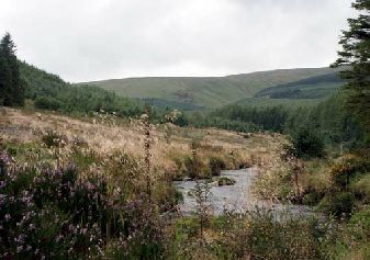
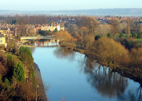
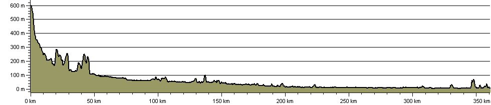
A route along the entire Severn Valley from the source to the sea. Starting on the wild Plynlimon plateau in Mid-Wales, the route takes in Hafren Forest, Llanidloes, Newtown, Welshpool, Shrewsbury and Ironbridge before heading south through Worcester, Tewkesbury and Gloucester to Severn Beach then linking along the Avon into Bristol City Centre.
Links include Gloucestershire Way, Wye Valley Walk, Staffordshire and Worcestershire Canal Walk, Worcester & Birmingham Canal Walk, Three Choirs Way and Telford and Wrekin Walks. Shakespeare's Avon Way now provides a promoted route along the Avon.
There have been many reports of lengthy and continuing closures to the Severn Way due to riverbank erosion along the river's upper reaches, as well as during work on the lower reaches' flood defences. See below.
Photograph: Part of the walk alongside the Gloucestershire Canal at Slimbridge.
MAY 2025 - Report that closure of another collapsed stretch of the Severn Way's riverside path continues until May 2026. This one is the west bank of the river opposite Northwick (a north-Worcester suburb). The signed diversion is above the river and along the A443.
FEBRUARY 2025 - A report on 4/02/2025 of Severn Way riverside path fallen away south of Stourport-on-Severn, at location SO 821 691, near Lincomb Lock, with no warning or closure notices at the time. There is a possible diversion via footpaths to Lincomb, but the turn-off from the south is more than 1km away.
UPDATE 24th September 2024 - Gloucestershire County Council's 'promoted' diversion (apparently signposted or waymarked) from Maisiemore instead follows the Three Choirs Way across Maisiemore Ham to the East Channel. It leaves East Channel to cross Town Ham to the A417, then uses the footbridge at SO 824191 to join city roads. The alternative east bank cycleway route (shown on our map) follows the river south from Maisiemore to Lower Parting, then the inside of the river loop to the footbridge at SO 827185.
UPDATE April 13th 2022 - Gloucestershire County Council have said that the earlier (April 2021) diversion from the east to west bank of the river north of Gloucester between Haw Bridge and Maisiemore is permanent, though the path on the east side has been re-opened. South of Maisiemore the route takes to the east bank once more to follow the cycleway alongside the A417, then follows the inside of the river loop to a footbridge to rejoin the original route. Our GPX and other format files will be amended to show the route change.
April 2021 - Gloucestershire County Council have advised that erosion and associated issues on the east bank route, just north of Gloucester, have led to the Severn Way's temporary closure. They are looking at the option of rerouting the formal route to the west bank through Maisemore, Ashleworth and Tirley parishes to rejoin the existing east bank route at Haw Bridge near Apperley. They will be signing the route on the ground and removing signage on the east bank over the coming months. See update 13th April 2022 above.
UPDATE December 2023 - The section along the flood barrier between New Passage (ST 544 864) and Cake Pill / Old Passage (ST 562 881) was temporarily reopened in December 2023, while there is 'no significant work' in the area. This will be reviewed in the spring of 2024.
UPDATE November 2023 - Flood defences work between Aust and Redwick are continuing, though the short section between the old Severn Bridge (now M48) and Old Passage may be open.
April 2022 - The Severn Way will be closed for flood defences work between Aust (by M48 old Severn Road Bridge) and Redwick (by M4 new Prince of Wales Bridge), and between Severn Beach and Chittening Warth (by the Power Station), up to Autumn 2022. Other footpaths remain open. See https://www.asea-flood-ecology.co.uk/work-impact-notices.
UPDATE January 2024 - We have been advised that the footbridge has been replaced, presumably during 2023.
UPDATE January 2023 - footbridge reportedly still out of use.
May 2021 - We have been advised that there is a footbridge out of use on the stretch between Atcham and Emstrey. It may be best to seek an alternative route for this section. Shropshire County Council have been alerted to this.
Details: