The 204 Landranger maps cover England, Scotland and Wales. Each map covers an area of 40 km by 40 km (25 miles by 25 miles)

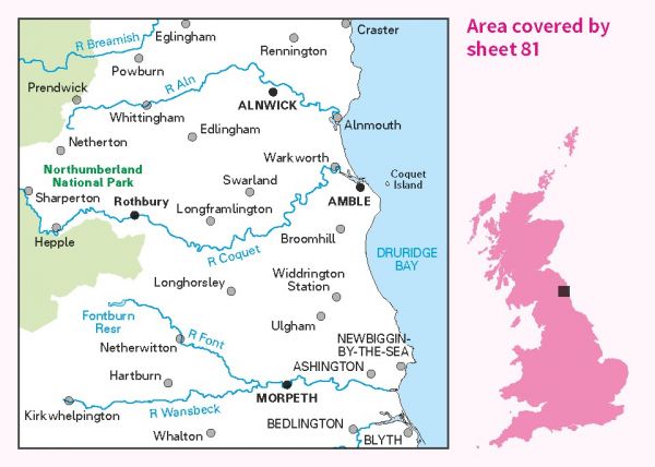
| Alternative Coast to Coast | 320 km / 199 miles |
| Berwick Borough Boundary Walk | 174 km / 108 miles |
| Inn Way ... to Northumberland | 158 km / 98 miles |
| Lakeland to Lindisfarne | 320 km / 199 miles |
| Middlesbrough to Berwick (England & Wales Coast Path Sector 24) | 251 km / 156 miles |
| North Sea Trail (British North East Coast Section) | 2000 km / 1243 miles |
| Northern Crossway | 315 km / 196 miles |
| Northumberland Coast Path | 101 km / 63 miles |
| Ravenber Way | 338 km / 210 miles |
| Reiver's Way | 242 km / 150 miles |
| St Oswald's Way | 154 km / 96 miles |
| The Way of the Sea | 63 km / 39 miles |
| Three Peaks of Cheviot | 48 km / 30 miles |
| Tops of the North (Carlisle and Cheviot to Cat and Fiddle) | 713 km / 443 miles |
