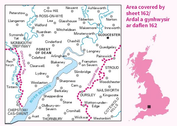
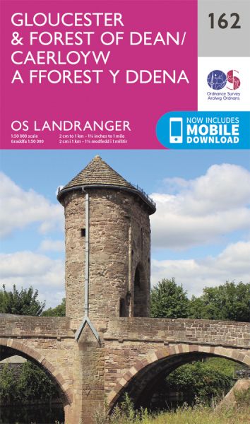
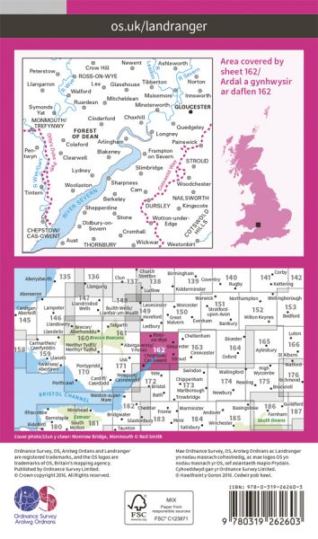
The 204 Landranger maps cover England, Scotland and Wales. Each map covers an area of 40 km by 40 km (25 miles by 25 miles)

| Bristol to Brecon Walk | 140 km / 87 miles |
| Celtic Way | 1161 km / 721 miles |
| Chepstow to Minehead (England & Wales Coast Path Sector 9) | Various |
