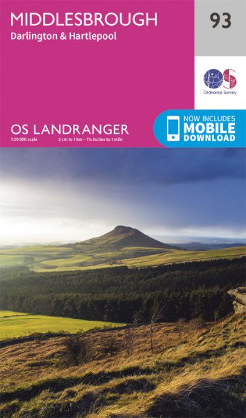
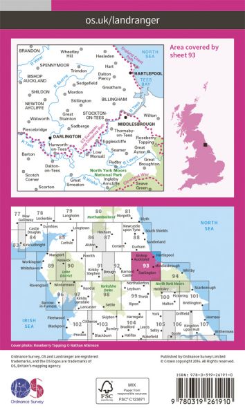
The 204 Landranger maps cover England, Scotland and Wales. Each map covers an area of 40 km by 40 km (25 miles by 25 miles)

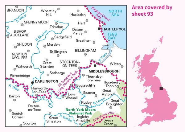
| Auckland Way Railway Path | 6 km / 4 miles |
| Bilsdale Circuit | 48 km / 30 miles |
| Brandon - Bishop Auckland Railway Path | 14 km / 9 miles |
| Cleveland Way National Trail | 175 km / 109 miles |
| Clough Walk | 367 km / 228 miles |
| Coast to Coast Path National Trail | 301 km / 187 miles |
| Durham Railway Paths | Various |
| E-Path 2 UK Section - Middleton-in-Teesdale to Harwich | 853 km / 530 miles |
| Five Churches Round | 31 km / 19 miles |
| Hull to Middlesbrough (England & Wales Coast Path Sector 23) | 267 km / 166 miles |
| Langbaurgh Loop | 63 km / 39 miles |
| Lyke Wake Walk | 64 km / 40 miles |
| Middlesbrough to Berwick (England & Wales Coast Path Sector 24) | 251 km / 156 miles |
| North Sea Trail (British North East Coast Section) | 2000 km / 1243 miles |
| Samaritan Way | 64 km / 40 miles |
| Shepherd's Round | 64 km / 40 miles |
| St Aelred's Way | 277 km / 172 miles |
| Tees Link | 17 km / 11 miles |
| Teesdale Way | 148 km / 92 miles |
| The Way of Life | 47 km / 29 miles |
| The Way of Love | 45 km / 28 miles |
| Weardale Way | 124 km / 77 miles |
| Wild Yorkshire Way | 797 km / 495 miles |
| X to X | 201 km / 125 miles |
