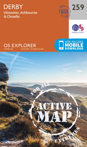
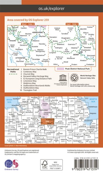
Every part of England, Scotland and Wales is covered by 403 maps specially designed for walkers, off-road cyclists, horse riders and all involved in outdoor activities. The Active maps are an encapsulated map that is tough, durable and weatherproof. The maps are covered in a protective plastic coating that can be written on, so your favourite routes can be easily highlighted. They are more costly but more durable and may obviate the need for a map case, though they are bulkier and heavier. The Outdoor Leisure map series and the Pathfinder map series have been integrated with the OS Explorer Map series.

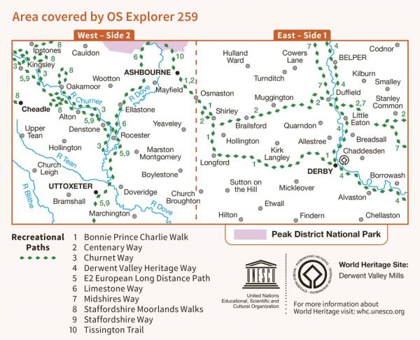
| Bonnie Prince Charlie Walk | 28 km / 17 miles |
| Centenary Way (Derbyshire) | 40 km / 25 miles |
| Churnet Valley Geotrail | 26 km / 16 miles |
| Churnet Way | 48 km / 30 miles |
| Clough Walk | 367 km / 228 miles |
| Derby Nomad Way | 79 km / 49 miles |
| Derbyshire Portway | 79 km / 49 miles |
| Derbyshire Windmill Wander | 39 km / 24 miles |
| Derwent Valley Heritage Way | 82 km / 51 miles |
| Duffield Frith Frolic | 34 km / 21 miles |
| E-Path 2 UK Section - Middleton-in-Teesdale to Dover | 904 km / 562 miles |
| Ecclesbourne Way | 18 km / 11 miles |
| Limestone Way | 74 km / 46 miles |
| Manifold Trail | 37 km / 23 miles |
| Midshires Way | 362 km / 225 miles |
| Peak District Boundary Walk | 307 km / 191 miles |
| Peak Way | 246 km / 153 miles |
| Pennine Odyssey - Ashbourne to Buxton | 39 km / 24 miles |
| Sabrina Way | 327 km / 203 miles |
| Staffordshire Way | 153 km / 95 miles |
| Tissington Trail | 21 km / 13 miles |
| Trent and Mersey Canal Walk | 153 km / 95 miles |
