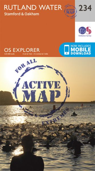
Every part of England, Scotland and Wales is covered by 403 maps specially designed for walkers, off-road cyclists, horse riders and all involved in outdoor activities. The Active maps are an encapsulated map that is tough, durable and weatherproof. The maps are covered in a protective plastic coating that can be written on, so your favourite routes can be easily highlighted. They are more costly but more durable and may obviate the need for a map case, though they are bulkier and heavier. The Outdoor Leisure map series and the Pathfinder map series have been integrated with the OS Explorer Map series.

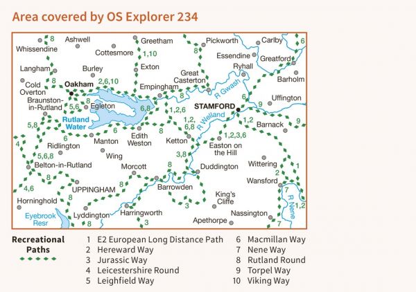
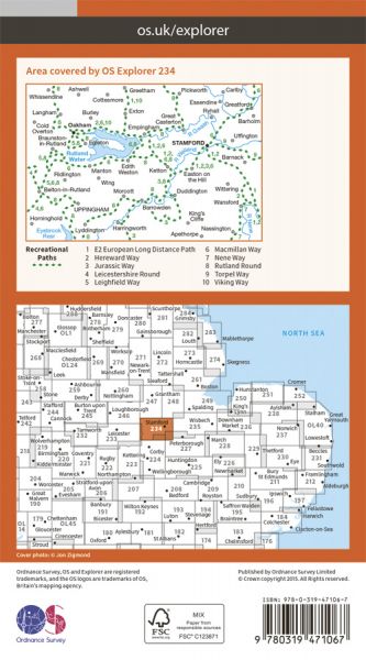
| Around Corby Extension | 23 km / 14 miles |
| Danelaw Way | 96 km / 60 miles |
| Danelaw Way Tolethorpe Variant | 3 km / 2 miles |
| E-Path 2 UK Section - Middleton-in-Teesdale to Harwich | 853 km / 530 miles |
| Hereward Way | 177 km / 110 miles |
| Jurassic Way | 142 km / 88 miles |
| Leicestershire Round | 164 km / 102 miles |
| Macmillan Way - Boston to Abbotsbury | 463 km / 288 miles |
| Melton Round | 90 km / 56 miles |
| Nene Way | 183 km / 114 miles |
| Northamptonshire Boundary Walk | 325 km / 202 miles |
| Queen Eleanor Crosses Way | 349 km / 217 miles |
| Richard III Trail | 100 km / 62 miles |
| Rutland Round | 104 km / 65 miles |
| South Kesteven Round | 209 km / 130 miles |
| St Bernard's Way | 756 km / 470 miles |
| Torpel Way | 18 km / 11 miles |
| Uppingham Round | 111 km / 69 miles |
| Uppingham Round - Blatherwycke Lake Alternative | 6 km / 4 miles |
| Viking Way | 240 km / 149 miles |
