Every part of England, Scotland and Wales is covered by 403 maps specially designed for walkers, off-road cyclists, horse riders and all involved in outdoor activities. The older Outdoor Leisure map series and the Pathfinder map series have been integrated with the OS Explorer Map series.

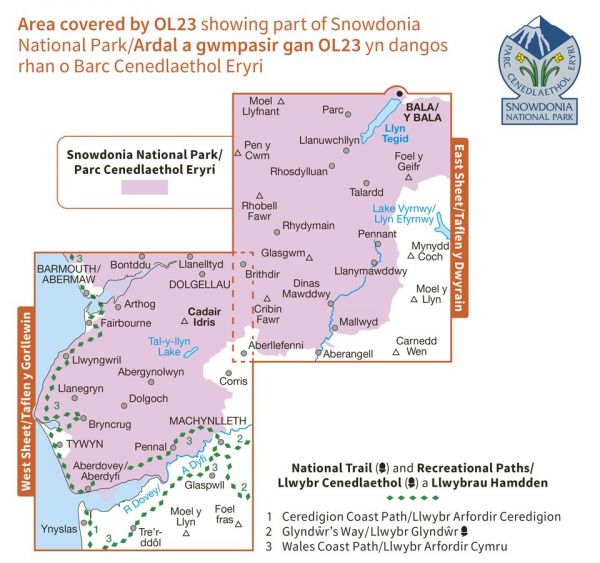
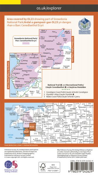
| Around Idris | 35 km / 22 miles |
| Around the Rhinogs | 61 km / 38 miles |
| Borth to Devil's Bridge to Pontrhydfendigaid Trail (Mal Evans Way) | 58 km / 36 miles |
