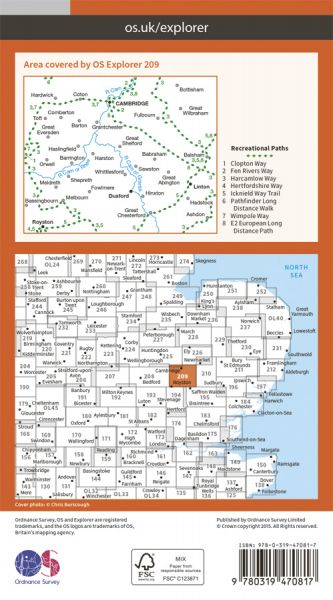
Every part of England, Scotland and Wales is covered by 403 maps specially designed for walkers, off-road cyclists, horse riders and all involved in outdoor activities. The Active maps are an encapsulated map that is tough, durable and weatherproof. The maps are covered in a protective plastic coating that can be written on, so your favourite routes can be easily highlighted. They are more costly but more durable and may obviate the need for a map case, though they are bulkier and heavier. The Outdoor Leisure map series and the Pathfinder map series have been integrated with the OS Explorer Map series.

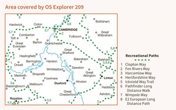
| Byrhtnoth's Last Visit | 82 km / 51 miles |
| Cam Valley Walk | 89 km / 55 miles |
| Clopton Way | 17 km / 11 miles |
| E-Path 2 UK Section - Middleton-in-Teesdale to Harwich | 853 km / 530 miles |
| Fen Rivers Way | 77 km / 48 miles |
| Fleam Dyke and Roman Road Walk | 40 km / 25 miles |
| Great Chalk Way | 605 km / 376 miles |
| Greenwich Meridian Trail | 439 km / 273 miles |
| Greenwich Meridian Trail - Cambridge loop | 27 km / 17 miles |
| Harcamlow Way | 227 km / 141 miles |
| Hertfordshire Border Walk | 275 km / 171 miles |
| Hertfordshire Way | 274 km / 170 miles |
| Icknield Way Path | 180 km / 112 miles |
| Icknield Way Trail | 235 km / 146 miles |
| Lasso Essex - Granta Cam Country (12) | 42 km / 26 miles |
| Long Path | 772 km / 480 miles |
| Pathfinder Long Distance Walk | 74 km / 46 miles |
| Uttlesford Way | 92 km / 57 miles |
| West Anglian Way | 135 km / 84 miles |
| Wimpole Way | 21 km / 13 miles |
