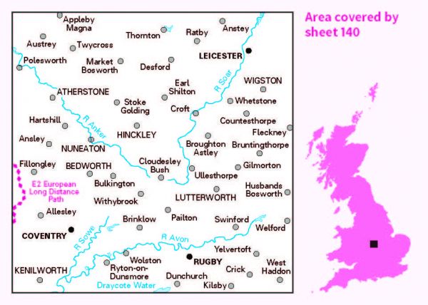
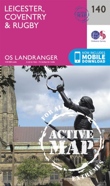
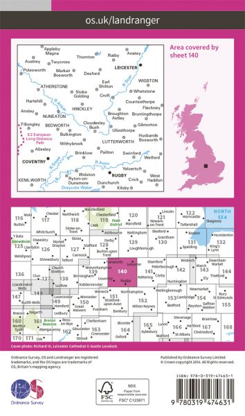
Ordnance Survey has every part of Great Britain covered in this versatile active map format. In 2007 it introduced 25 all-weather titles of its 1:50 000 OS Landranger Maps. Each Landranger Active map covers an area of 40 km by 40 km (25 miles by 25 miles). The Active maps are an encapsulated map that is tough, durable and weatherproof. The maps are covered in a protective plastic coating that can be written on, so your favourite routes can be easily highlighted. They are more costly but more durable and may obviate the need for a map case, though they are bulkier and heavier. And since then there has been a growing demand to make the entire OS Landranger Map series available.

| Ambion Way | 16 km / 10 miles |
| Battlefields and Borderlands Way | 68 km / 42 miles |
| Centenary Way (Warwickshire) | 159 km / 99 miles |
| Charnwood Peaks Walk | 26 km / 16 miles |
| Charnwood Round | 51 km / 32 miles |
| Church2Church Walks in Warwickshire | 251 km / 156 miles |
| Coventry Canal Walk | 61 km / 38 miles |
| Coventry Way | 64 km / 40 miles |
| E-Path 2 UK Section - Middleton-in-Teesdale to Dover | 904 km / 562 miles |
| Heart of England Way | 163 km / 101 miles |
| Ivanhoe Way | 58 km / 36 miles |
| Jurassic Way | 142 km / 88 miles |
| Leicester Line Canal Walk | 127 km / 79 miles |
| Leicestershire Round | 164 km / 102 miles |
| Macmillan Way - Shakespeare's Avon Way | 148 km / 92 miles |
| Market Harborough Round | 114 km / 71 miles |
| Millennium Way (Warks) | 161 km / 100 miles |
| National Forest Way | 121 km / 75 miles |
| North Arden Heritage Trail | 42 km / 26 miles |
| Northamptonshire Boundary Walk | 325 km / 202 miles |
| Nuneaton Rotary Walk | 39 km / 24 miles |
| Oxford Canal Walk | 133 km / 83 miles |
| Richard III Trail | 100 km / 62 miles |
| Via Beata | 731 km / 454 miles |
| WaLK, The | 32 km / 20 miles |
