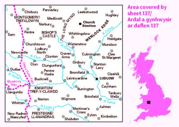
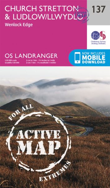
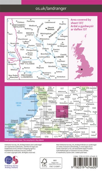
Ordnance Survey has every part of Great Britain covered in this versatile active map format. In 2007 it introduced 25 all-weather titles of its 1:50 000 OS Landranger Maps. Each Landranger Active map covers an area of 40 km by 40 km (25 miles by 25 miles). The Active maps are an encapsulated map that is tough, durable and weatherproof. The maps are covered in a protective plastic coating that can be written on, so your favourite routes can be easily highlighted. They are more costly but more durable and may obviate the need for a map case, though they are bulkier and heavier. And since then there has been a growing demand to make the entire OS Landranger Map series available.

| Abbesses Way | 29 km / 18 miles |
| Birmingham and Aberystwyth Walk | 241 km / 150 miles |
| Black and White Village Trail | 69 km / 43 miles |
| Blue Remembered Hills Bridleway | 61 km / 38 miles |
| Clee Climber | 34 km / 21 miles |
| Corvedale Three Castles Walk | 18 km / 11 miles |
| Elan Valley Way | 190 km / 118 miles |
| Glyndwr's Way/Llwybr Glyndwr National Trail | 217 km / 135 miles |
| Heart of Wales Line Trail | 230 km / 143 miles |
| Herefordshire Trail | 248 km / 154 miles |
| Hope House Way | 555 km / 345 miles |
| Humphrey Kynaston Way | 74 km / 46 miles |
| Ippikin's Way | 43 km / 27 miles |
| Jack Mytton Way | 117 km / 73 miles |
| Kerry Ridgeway | 24 km / 15 miles |
| Macmillan Way - Cross Britain Way | 449 km / 279 miles |
| Mortimer Trail | 48 km / 30 miles |
| Offa's Dyke Path National Trail | 285 km / 177 miles |
| Radnor Forest Ride | 113 km / 70 miles |
| Riversides Way | 113 km / 70 miles |
| Shropshire Way | Various |
| Shropshire Way - South Route | 195 km / 121 miles |
| Six Shropshire Summits | 56 km / 35 miles |
| Stretton Skyline Walk | 31 km / 19 miles |
| Teme Valley Walk | 150 km / 93 miles |
| Teme Valley Way | 154 km / 96 miles |
| Wild Edric's Way | 80 km / 50 miles |
