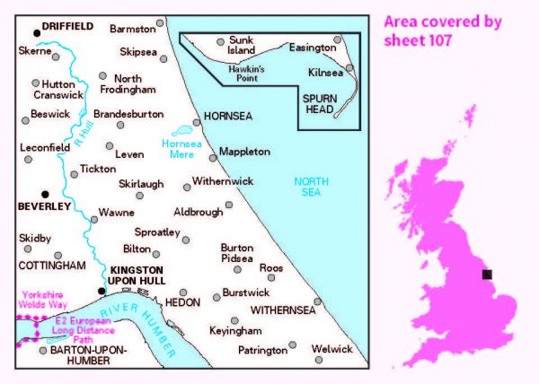
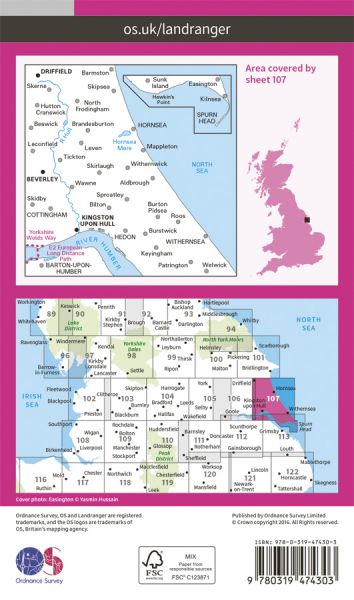
Ordnance Survey has every part of Great Britain covered in this versatile active map format. In 2007 it introduced 25 all-weather titles of its 1:50 000 OS Landranger Maps. Each Landranger Active map covers an area of 40 km by 40 km (25 miles by 25 miles). The Active maps are an encapsulated map that is tough, durable and weatherproof. The maps are covered in a protective plastic coating that can be written on, so your favourite routes can be easily highlighted. They are more costly but more durable and may obviate the need for a map case, though they are bulkier and heavier. And since then there has been a growing demand to make the entire OS Landranger Map series available.

| Beverley Twenty | 29 km / 18 miles |
| E-Path 2 UK Section - Middleton-in-Teesdale to Harwich | 853 km / 530 miles |
| E-Path 8 UK Section - Liverpool to Hull | 296 km / 184 miles |
| East Riding Heritage Way | 130 km / 81 miles |
| Greenwich Meridian Trail | 439 km / 273 miles |
| Haunted Way | 48 km / 30 miles |
| High Hunsley Circuit | 39 km / 24 miles |
| Hull to Middlesbrough (England & Wales Coast Path Sector 23) | 267 km / 166 miles |
| Humber Bridge Link Walk | 55 km / 34 miles |
| Hutton Hike | 32 km / 20 miles |
| Immingham Docks to Hull (variant of England & Wales Coast Path Sector 22) | 37 km / 23 miles |
| Minster Way | 80 km / 50 miles |
| Rudston Roam | 34 km / 21 miles |
| Towers Way | 153 km / 95 miles |
| Trans Pennine Trail | 346 km / 215 miles |
| Viking Way | 240 km / 149 miles |
| Way of the Roses | 274 km / 170 miles |
| Wilberforce Way | 97 km / 60 miles |
| Wold Rangers Way | 69 km / 43 miles |
| Yorkshire Wolds Way National Trail | 127 km / 79 miles |
