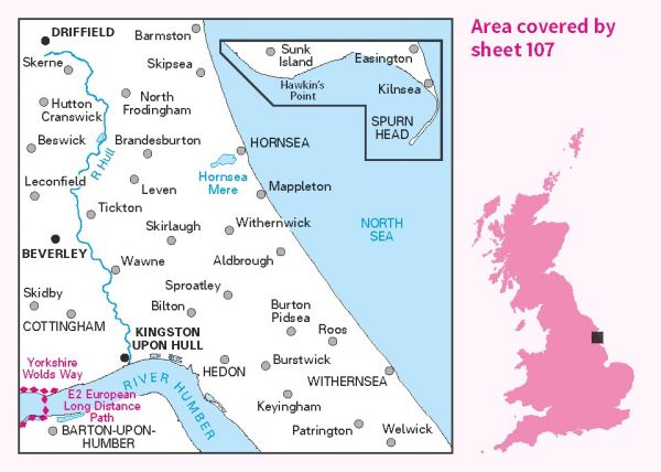
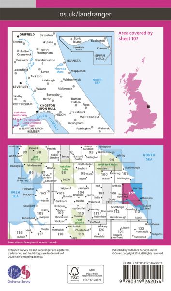
The 204 Landranger maps cover England, Scotland and Wales. Each map covers an area of 40 km by 40 km (25 miles by 25 miles)

| Beverley Twenty | 29 km / 18 miles |
| E-Path 2 UK Section - Middleton-in-Teesdale to Harwich | 853 km / 530 miles |
| E-Path 8 UK Section - Liverpool to Hull | 296 km / 184 miles |
| East Riding Heritage Way | 130 km / 81 miles |
| Greenwich Meridian Trail | 439 km / 273 miles |
| Haunted Way | 48 km / 30 miles |
| High Hunsley Circuit | 39 km / 24 miles |
| Hull to Middlesbrough (England & Wales Coast Path Sector 23) | 267 km / 166 miles |
| Humber Bridge Link Walk | 55 km / 34 miles |
| Hutton Hike | 32 km / 20 miles |
| Immingham Docks to Hull (variant of England & Wales Coast Path Sector 22) | 37 km / 23 miles |
| Minster Way | 80 km / 50 miles |
| Rudston Roam | 34 km / 21 miles |
| Towers Way | 153 km / 95 miles |
| Trans Pennine Trail | 346 km / 215 miles |
| Viking Way | 240 km / 149 miles |
| Way of the Roses | 274 km / 170 miles |
| Wilberforce Way | 97 km / 60 miles |
| Wold Rangers Way | 69 km / 43 miles |
| Yorkshire Wolds Way National Trail | 127 km / 79 miles |
