A-Z Adventure Atlases have the accuracy and quality of OS 1:25000 mapping with the additional benefit of having an index in a book format. In addition to the high quality OS mapping, these A-Z Adventure Atlases include a comprehensive index to towns, villages, hamlets and locations, natural features, nature reserves, car parks and youth hostels, making them quick and easy to use. Each index entry has a page reference and a six figure National Grid Reference. All Adventure Atlases are the same size as the standard folded OS map (240mm x 134mm) and fit in a standard map case.
A-Z is the official mapping partner of the National Trails.
Publisher's Information 2025
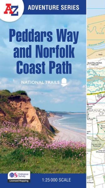
This National Trail Map features detailed Ordnance Survey mapping at a scale of 1:25 000, providing complete coverage of Peddars Way and the Norfolk Coast Path. There is also a route planner included to show distances between places and the amenities available making it easy to plan your adventure. Additional features include:
Information Centres
Hotels/B&Bs
Youth Hostels
Campsites (seasonal opening)
Public Houses
Shops
Restaurants
Cafes (seasonal opening)
Petrol Stations
