
Robbies Hump and Tump Strolls. Mam Tor
Thu 30th Mar 2023
Walk Details:
Mam Tor, Barker Bank and Lose Hill
Entry Details:
Walk Report
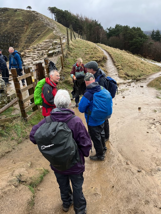
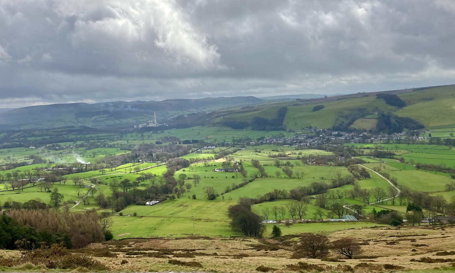
It was a grim, grey and wet day as we set off up and onto Mam Tor and then along the Great Ridge to Lose Hill, passing several groups of DoE teenagers looking sorry for themselves. The descent off Lose Hill was treacherous and slow. We continued along the road to Hope and then via a very wet and slippery FP7 to Castleton. The rain would let off and the sun come out, only to be immediately replaced by another heavy shower. Slight change of plan so we trudged up the old road. marvelling at the shifts in the earth surface that are plain for all to see. Led by Ann Robinson, with Quentin Blagg, Jerzy Matuszevsky, Peter Whitehead, Brian, Steve Millward, Gareth Phillips, Karen and Chris Tennant and Dave Gosling (bringing up the rear).Other Files
GPX
A GPX file of the above route may be downloaded by clicking the link below.
Note: GPX files of Group Walks are created by LDWA Group members, and may be downloaded only by other LDWA members. They should not be made available outside the LDWA, and are used at members' own risk.
Login to Download (Members Only)You can use the interactive controls to zoom in and out and to move around the map, or click on a path or a marker for more info. (interactive map help)
You can use the interactive controls to zoom in and out and to move around the map, or click on a path or a marker for more info. (interactive map help)
© OpenStreetMap contributors under Open Database Licence
Rights of way data from selected Local Authorities
Large scale digital mapping is provided by John Thorn
At high zoom levels the route is indicative only.
Gallery
Maps:
You can use the interactive controls to zoom in and out and to move around the map, or click on a marker for more info. (interactive map help)
© OpenStreetMap contributors under Open Database Licence.
Rights of way data from selected Local Authorities.
Large scale digital mapping is provided by John Thorn.


