
Snowbells, Crosses and Dales
Sat 18th Feb 2023
Walk Details:
CCW route cf BSH and visiting Wormhill, PBW, Limestone Way, two Ethels and a Wonder of the Peak
Entry Details:
Walk Report
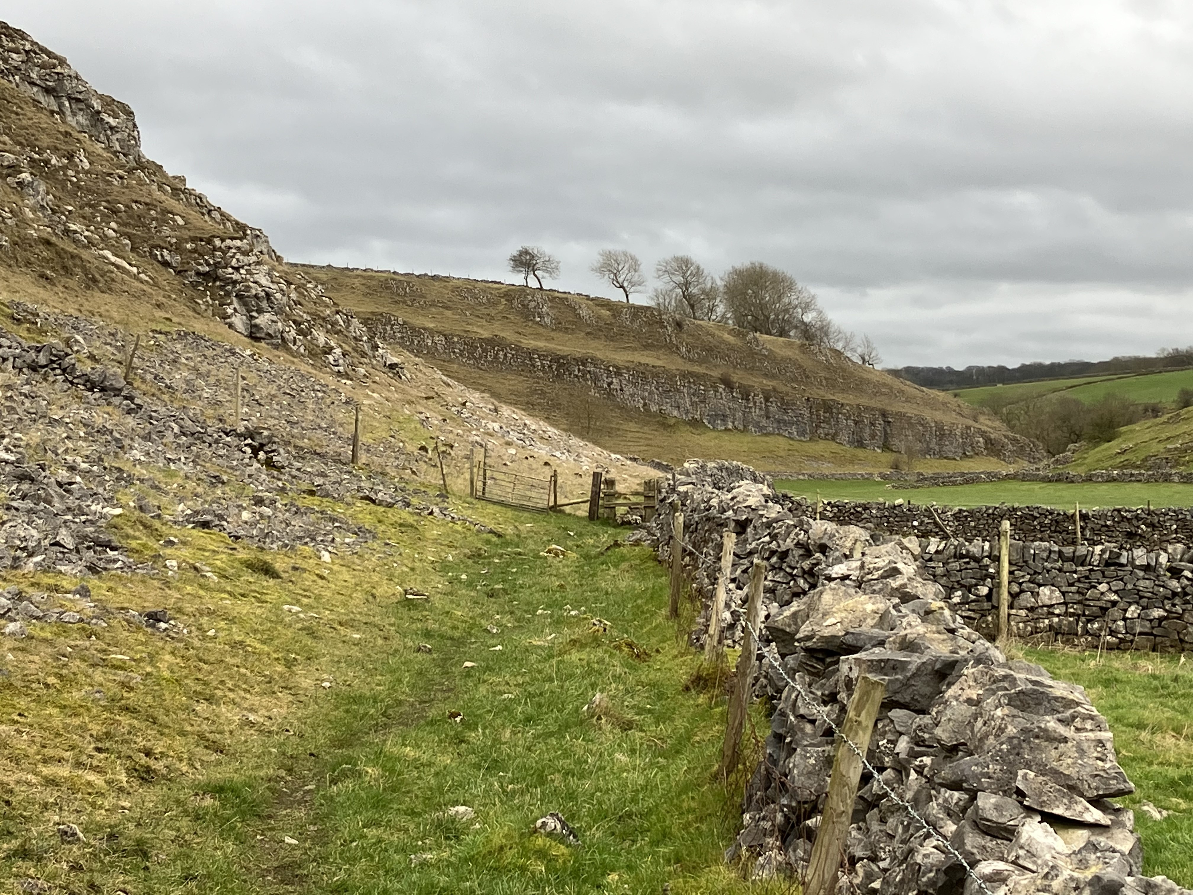
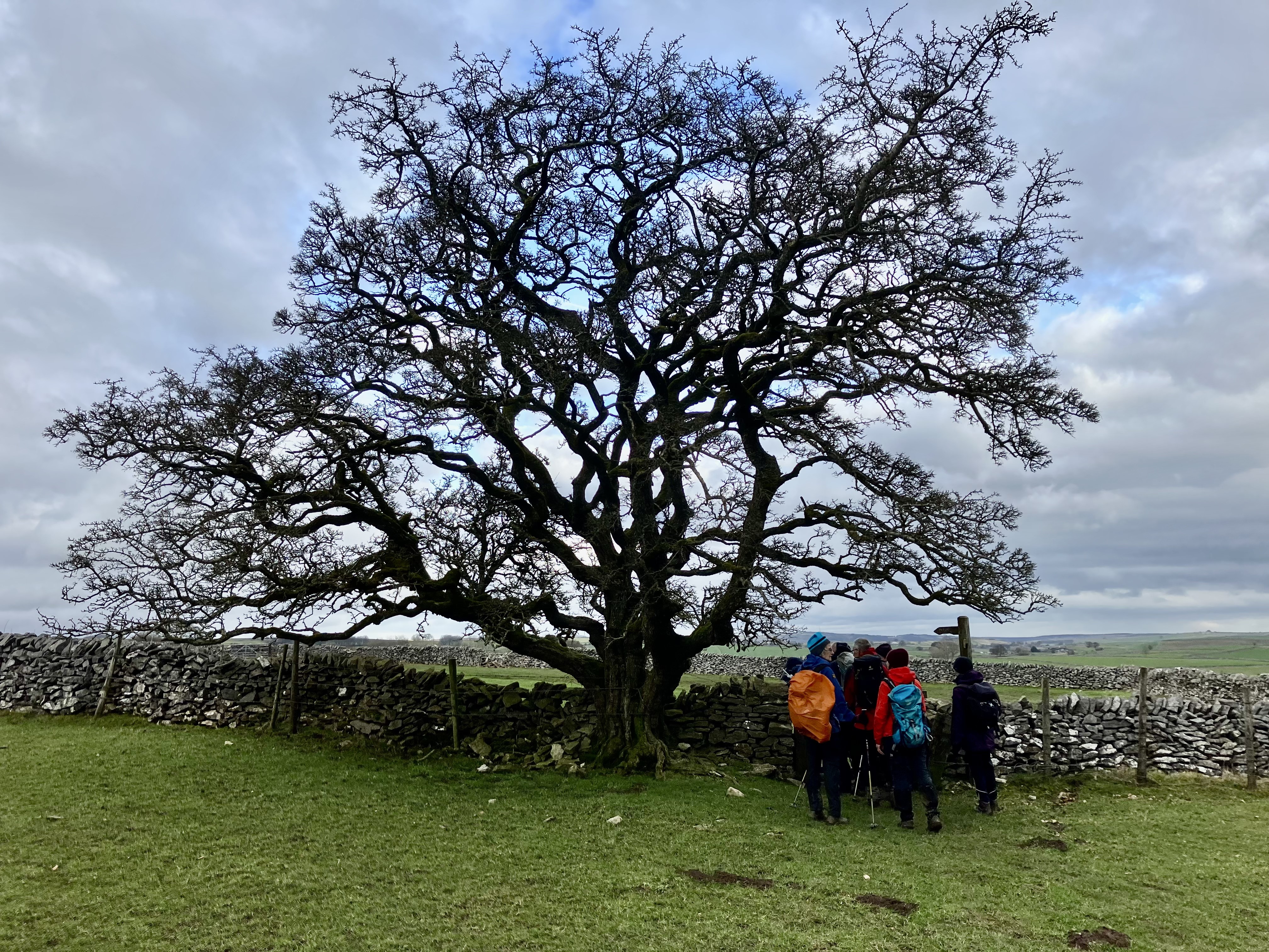
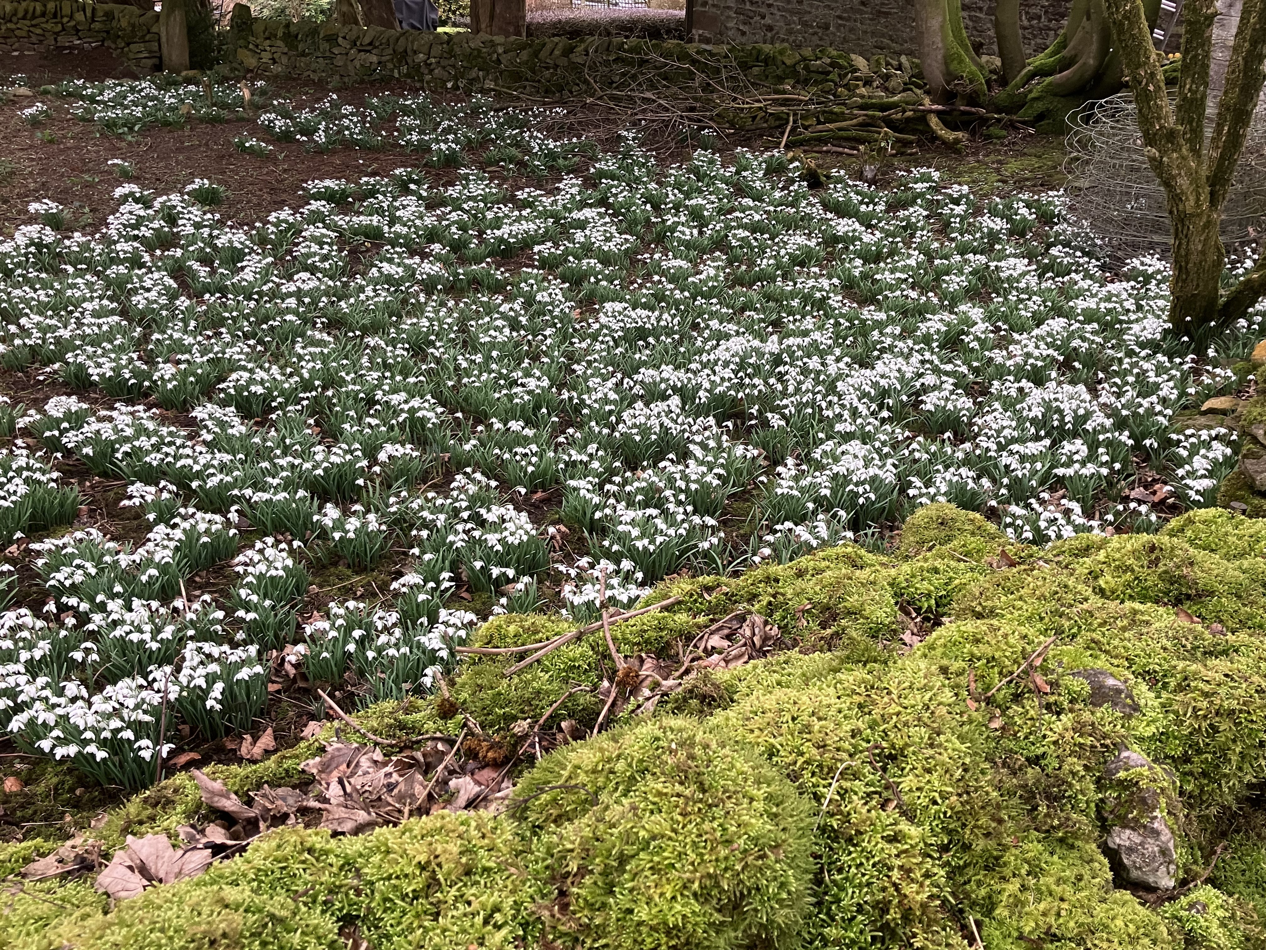
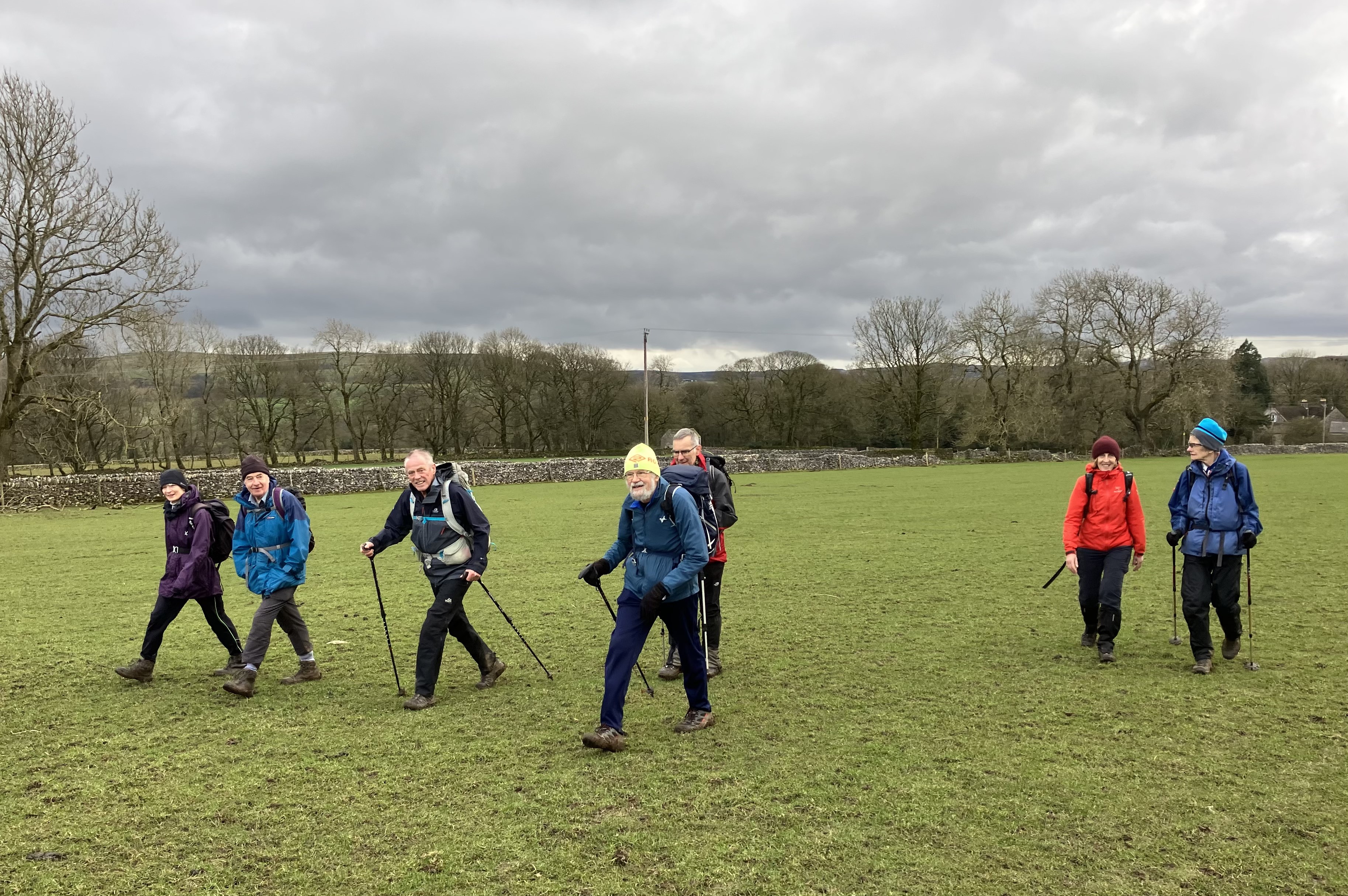
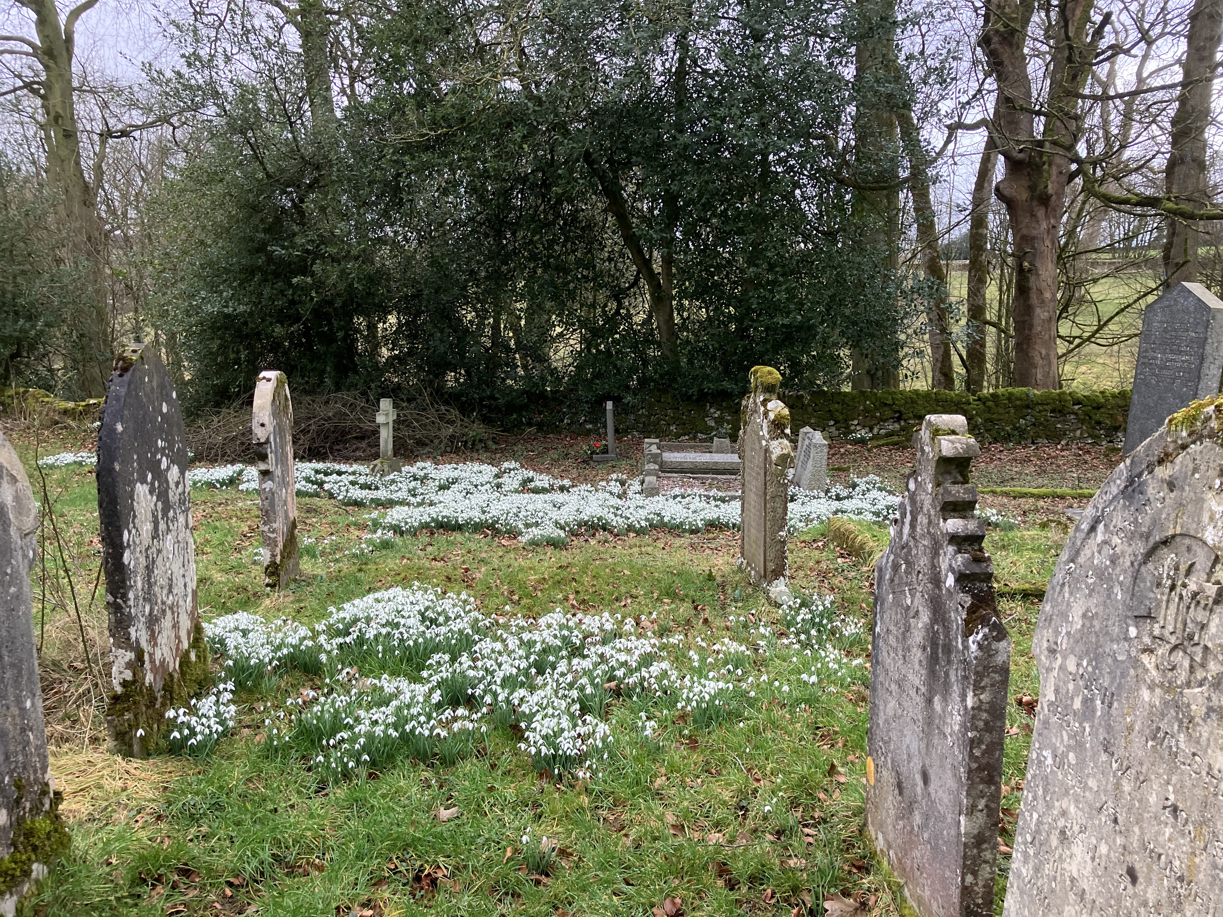
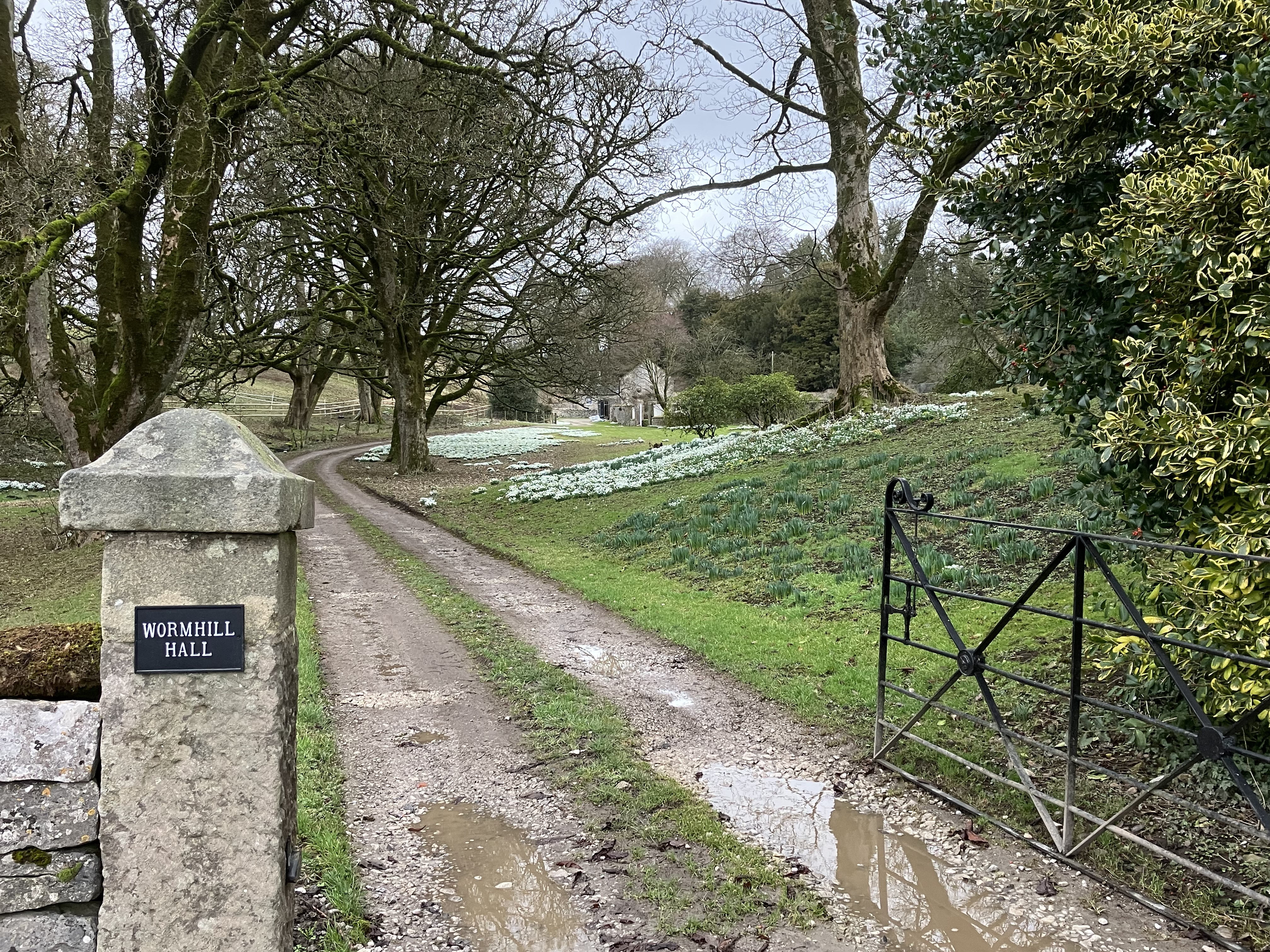
We set of northwards from Peak Forest to see Eldon Hole, a 85 metre deep chasm in the side of Eldon Hill. We were met with very strong winds especially at the top of the hill at 470m. We passed several areas of old disused lead mining as we traversed the ridge and dropped down to Old Dam Lane to get some relief from the wind. After a coffee break we headed across to the A623 and then on a quiet Lane (part of the Limestone Way). We turned right on the Pennine Bridleway descending to Hay Dale and then across pastures to Hayward Farm next to Hargate Hall. We viewed the historic stone on Wind Low, and stopped for lunch before moving on to Tunstead, birthplace of James Brindley, engineer and canal builder. Then we walked to Wormhill to see the snowdrops or snowbells at Wormhill Hall and Wormhill Church. The return was via Peters Dale, Hay Dale and Dam Dale. Approx 15 miles completed at 4.20pm.Other Files
GPX
A GPX file of the above route may be downloaded by clicking the link below.
Note: GPX files of Group Walks are created by LDWA Group members, and may be downloaded only by other LDWA members. They should not be made available outside the LDWA, and are used at members' own risk.
Login to Download (Members Only)You can use the interactive controls to zoom in and out and to move around the map, or click on a path or a marker for more info. (interactive map help)
You can use the interactive controls to zoom in and out and to move around the map, or click on a path or a marker for more info. (interactive map help)
© OpenStreetMap contributors under Open Database Licence
Rights of way data from selected Local Authorities
Large scale digital mapping is provided by John Thorn
At high zoom levels the route is indicative only.
Gallery
Maps:
You can use the interactive controls to zoom in and out and to move around the map, or click on a marker for more info. (interactive map help)
© OpenStreetMap contributors under Open Database Licence.
Rights of way data from selected Local Authorities.
Large scale digital mapping is provided by John Thorn.


