
Mid Week Meander
Thu 1st Dec 2022
Walk Details:
Event Type
Group Walk
Region / Area
Northern England / Peak District
Local Group
South Manchester
Distance
10ml.
Start Time
09:30
Route
Bakestonedale Brickworks C.P
Start and Finish
Entry Details:
Cost
Walk Report
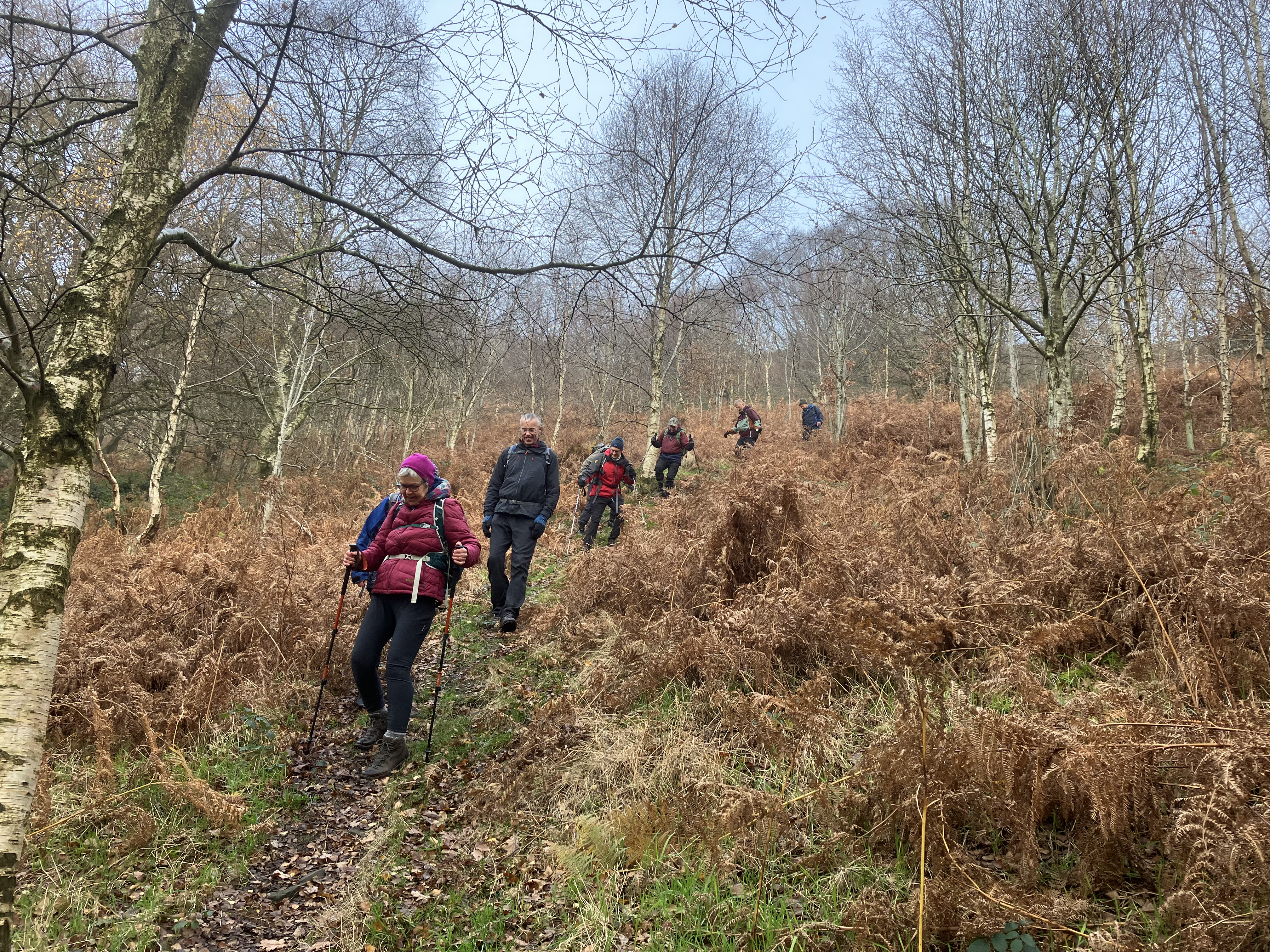
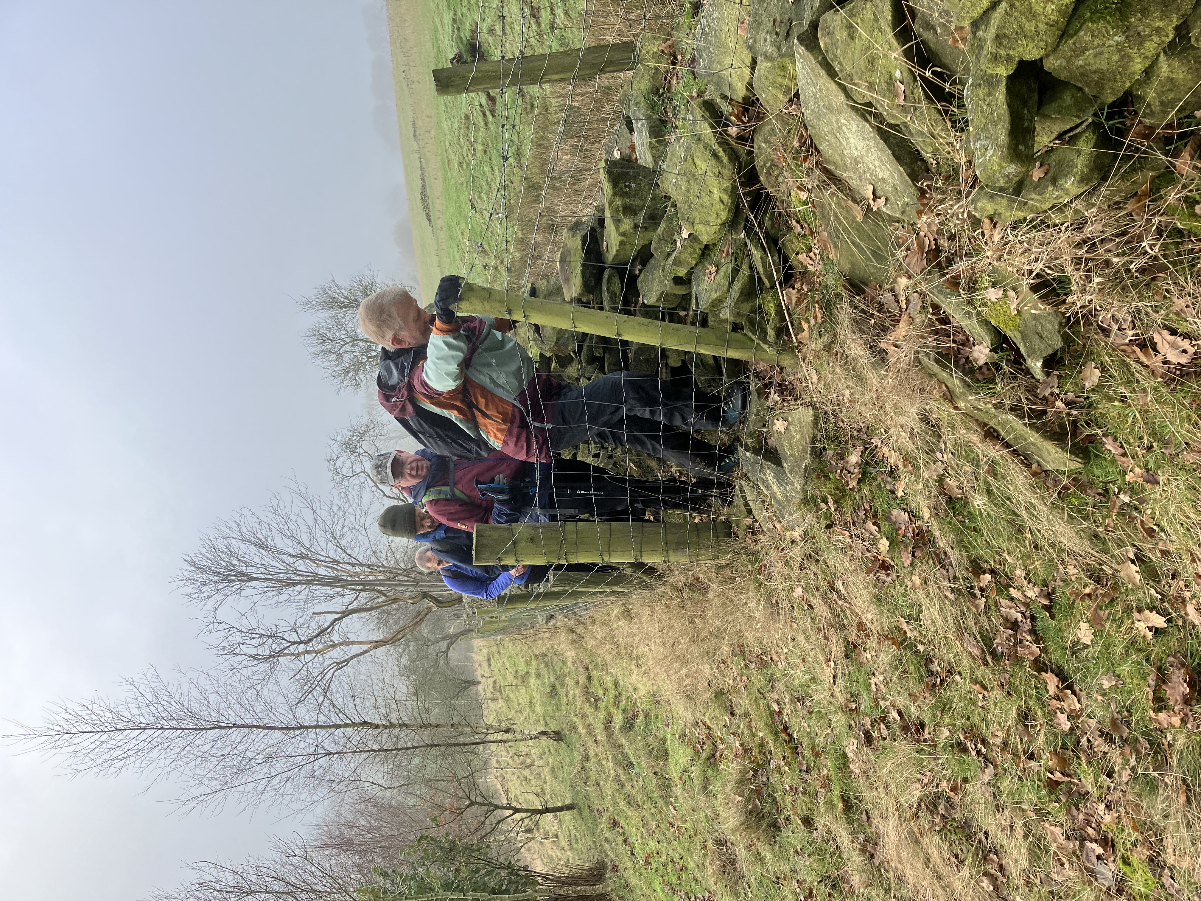
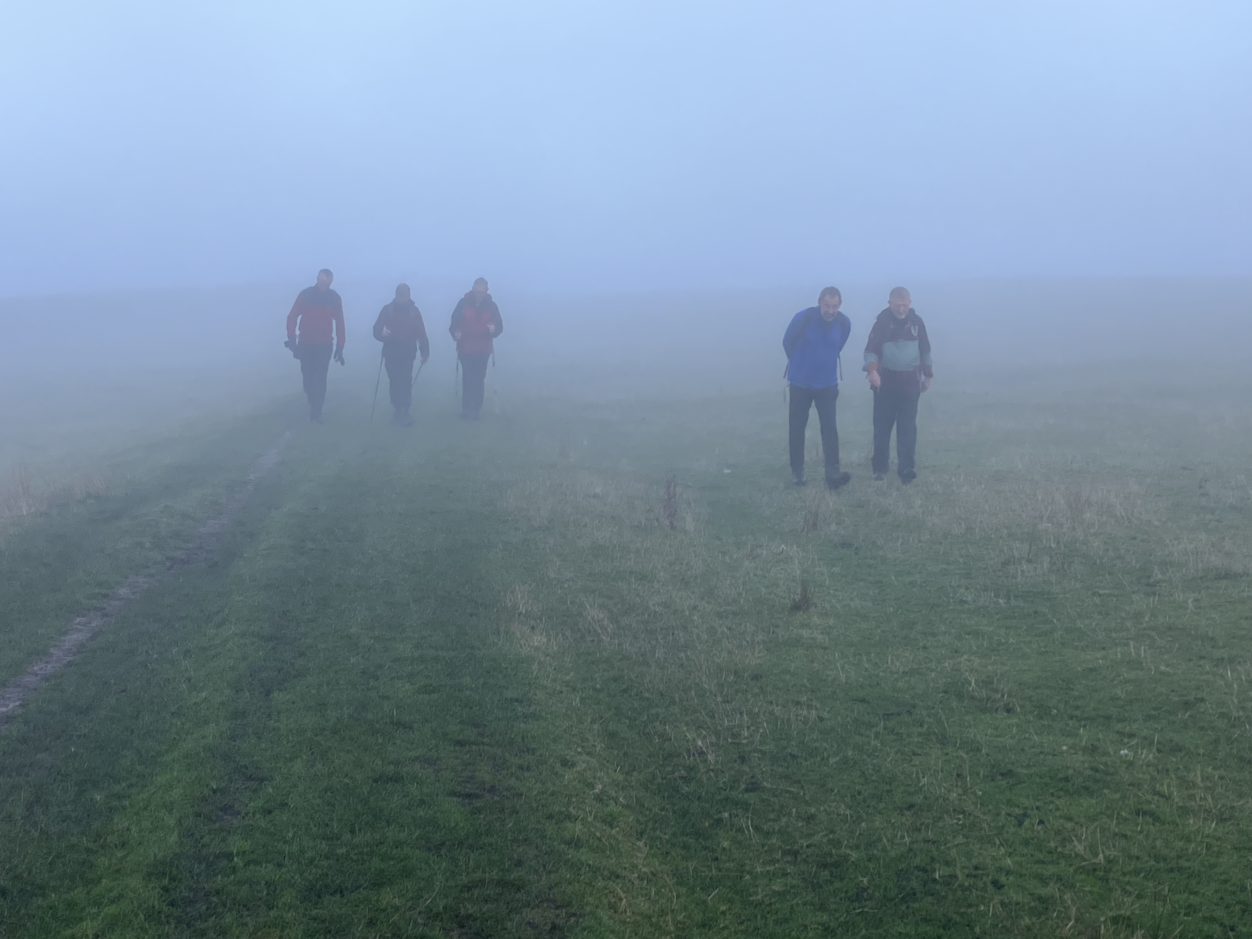
The day started misty and despite some hopeful signs, it remained that way all day. This meant we didn't see the views which can be great on a good day. We welcomed Ruth and Vicki on their first LDWA Social Walk. Quentin had forgotten his boots, so he borrowed a pair of trainers despite them being a size too small. We took a little used, and steep path down into the Harrop Valley, then, passing Further Harrop Farm, we joined Rainow FP18. By not crossing the stream, as we should have done, we were squeezed between a broken wall and a barbed wire fence. Here we were sorry to lose two ladies Ruth and Vicki. They decided to return because Vicki was not feeling well. The rest of us climbed onto the permissive path from Charles Head, where we should have had a fantastic view, but today we could see little through the mist. The ground was waterlogged on Broad Moss (as usual),but we enjoyed a drinks break in some faint sunshine. 'Excused boots Quentin' was suffering with his feet and so decided to return. Bank Lane, otherwise known as the 'corkscrew', had running water flowing down it. so we splashed our way to the bottom, then took the pleasant valley path to Saltersford Hall, dated 1593. We climbed up to Howlersknowl and then along the Todd Brook valley to Dunge Farm which in the summer months has a glorious display of rhododendrons and azeleas. Then it was easy walking to below Windgather (lost in the mist) and onto Taxall Edge. After lunch we continued along the edge before descending into Kettleshulme and to the deserted Candle Factory. We took Lyme Handley 37 towards Hole House, only to find the bridge collapsed and the path closed. However, we could cross the steam by a fallen tree and then began to the steep climb up Sweet Hill - not so much a sting in the tail as a bite on the bum. From ridge of Sponds Hill it was a straightforward if foggy return to Bakestonedale.Other Files
GPX
A GPX file of the above route may be downloaded by clicking the link below.
Note: GPX files of Group Walks are created by LDWA Group members, and may be downloaded only by other LDWA members. They should not be made available outside the LDWA, and are used at members' own risk.
Login to Download (Members Only)You can use the interactive controls to zoom in and out and to move around the map, or click on a path or a marker for more info. (interactive map help)
You can use the interactive controls to zoom in and out and to move around the map, or click on a path or a marker for more info. (interactive map help)
Contains Ordnance Survey data © Crown copyright and database right 2016.
© OpenStreetMap contributors under Open Database Licence
Rights of way data from selected Local Authorities
Large scale digital mapping is provided by John Thorn
At high zoom levels the route is indicative only.
© OpenStreetMap contributors under Open Database Licence
Rights of way data from selected Local Authorities
Large scale digital mapping is provided by John Thorn
At high zoom levels the route is indicative only.
Gallery
Maps:
You can use the interactive controls to zoom in and out and to move around the map, or click on a marker for more info. (interactive map help)
Contains Ordnance Survey data © Crown copyright and database right 2016.
© OpenStreetMap contributors under Open Database Licence.
Rights of way data from selected Local Authorities.
Large scale digital mapping is provided by John Thorn.
© OpenStreetMap contributors under Open Database Licence.
Rights of way data from selected Local Authorities.
Large scale digital mapping is provided by John Thorn.


