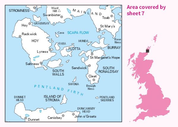
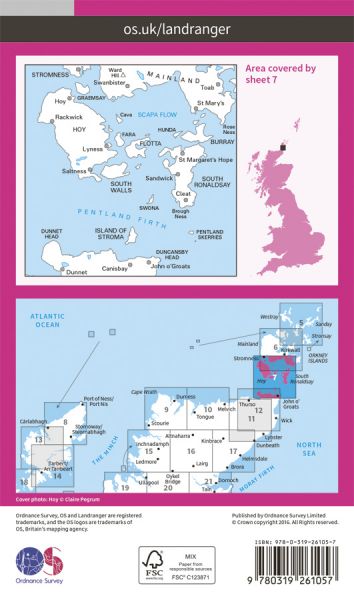
The 204 Landranger maps cover England, Scotland and Wales. Each map covers an area of 40 km by 40 km (25 miles by 25 miles)

| E-Path 2 UK Section - John o'Groats to Traquair | 676 km / 420 miles |
| John o'Groats Trail | 220 km / 137 miles |
| St Magnus Way | 90 km / 56 miles |
