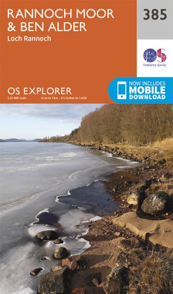
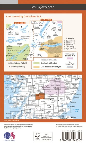
Every part of England, Scotland and Wales is covered by 403 maps specially designed for walkers, off-road cyclists, horse riders and all involved in outdoor activities. The older Outdoor Leisure map series and the Pathfinder map series have been integrated with the OS Explorer Map series.


| E-Path 2 UK Section - John o'Groats to Traquair | 676 km / 420 miles |
| Northern Trek | 895 km / 556 miles |
| Stevenson Way | 435 km / 270 miles |
| West Highland Way | 154 km / 96 miles |
