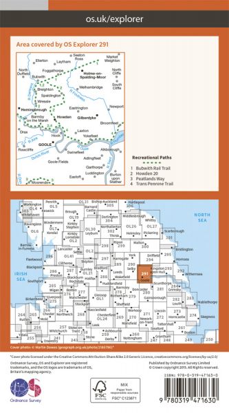
Every part of England, Scotland and Wales is covered by 403 maps specially designed for walkers, off-road cyclists, horse riders and all involved in outdoor activities. The Active maps are an encapsulated map that is tough, durable and weatherproof. The maps are covered in a protective plastic coating that can be written on, so your favourite routes can be easily highlighted. They are more costly but more durable and may obviate the need for a map case, though they are bulkier and heavier. The Outdoor Leisure map series and the Pathfinder map series have been integrated with the OS Explorer Map series.

| E-Path 8 UK Section - Liverpool to Hull | 296 km / 184 miles |
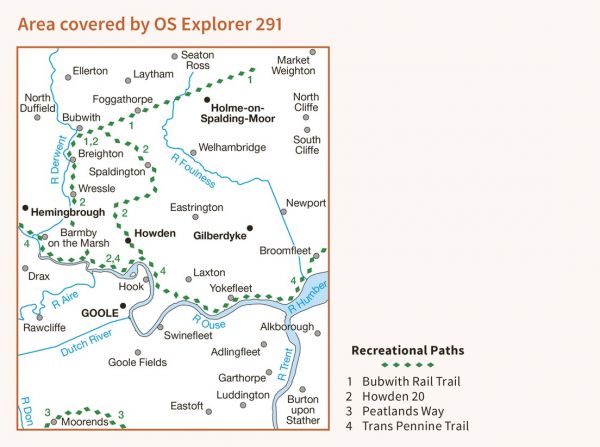
| Howden 20 | 32 km / 20 miles |
| Howdenshire Way | 27 km / 17 miles |
| Nev Cole Way | 93 km / 58 miles |
| Opencast Way | 51 km / 32 miles |
| Peatlands Way | 71 km / 44 miles |
| Trans Pennine Trail | 346 km / 215 miles |
| Trent Valley Way | 174 km / 108 miles |
| Wilberforce Way | 97 km / 60 miles |
| Wild Yorkshire Way | 797 km / 495 miles |
| Yorkshire Ouse Walk | 100 km / 62 miles |
| Yorkshire Wolds Way National Trail - Market Weighton Alternative | 6 km / 4 miles |
