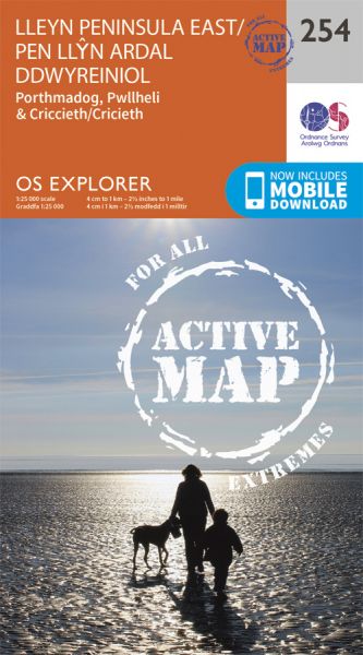
Every part of England, Scotland and Wales is covered by 403 maps specially designed for walkers, off-road cyclists, horse riders and all involved in outdoor activities. The Active maps are an encapsulated map that is tough, durable and weatherproof. The maps are covered in a protective plastic coating that can be written on, so your favourite routes can be easily highlighted. They are more costly but more durable and may obviate the need for a map case, though they are bulkier and heavier. The Outdoor Leisure map series and the Pathfinder map series have been integrated with the OS Explorer Map series.

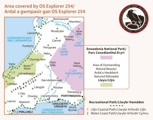

| Chester to Porthmadog (England & Wales Coast Path Sector 3) | 299 km / 186 miles |
| Four Valleys Path | 31 km / 19 miles |
| Heart of Snowdonia Circuit 24 Hour Challenge Walk | 81 km / 50 miles |
| Llwybr Cadfan | 175 km / 109 miles |
| Llyn Peninsula Coastal Path (Edge of Wales Walk) | 135 km / 84 miles |
| Lon Eifion | 19 km / 12 miles |
| Mawddach-Ardudwy Trail - Portmadog Extension | 26 km / 16 miles |
| North Wales Castles Trail | 349 km / 217 miles |
| North Wales Pilgrim's Way - Taith Pererin Gogledd Cymru | 216 km / 134 miles |
| Snowdonia Five Ranges Round | 64 km / 40 miles |
| Snowdonia Panoramic Walk | 48 km / 30 miles |
| Snowdonia Slate Trail | 134 km / 83 miles |
| Wales Coast Path | 1370 km / 851 miles |
