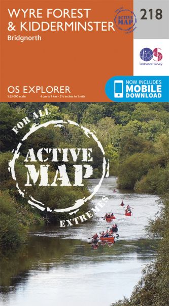
Every part of England, Scotland and Wales is covered by 403 maps specially designed for walkers, off-road cyclists, horse riders and all involved in outdoor activities. The Active maps are an encapsulated map that is tough, durable and weatherproof. The maps are covered in a protective plastic coating that can be written on, so your favourite routes can be easily highlighted. They are more costly but more durable and may obviate the need for a map case, though they are bulkier and heavier. The Outdoor Leisure map series and the Pathfinder map series have been integrated with the OS Explorer Map series.

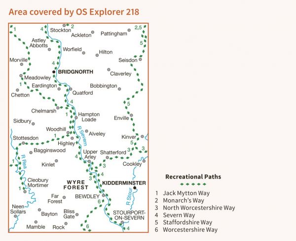
| Abberley Amble | 32 km / 20 miles |
| Abbesses' Way Morville Addendum | 24 km / 15 miles |
| Applecake Hill 20 | 32 km / 20 miles |
| Birmingham and Aberystwyth Walk | 241 km / 150 miles |
| Black Pear 50 | 84 km / 52 miles |
| Carpet Baggers 50 | 80 km / 50 miles |
| Crooked Spire Walk | 32 km / 20 miles |
| Elan Valley Way | 190 km / 118 miles |
| Geopark Way | 175 km / 109 miles |
| Jack Mytton Way | 117 km / 73 miles |
| Kinver Clamber | 32 km / 20 miles |
| Monarch's Way | 948 km / 589 miles |
| North Worcestershire Path | 56 km / 35 miles |
| Robert's Romp | 45 km / 28 miles |
| Sabrina Way | 327 km / 203 miles |
| Severn Valley Marathon | 43 km / 27 miles |
| Severn Way | 360 km / 224 miles |
| Simon Evans Way | 27 km / 17 miles |
| Staffordshire and Worcestershire Canal Walk | 74 km / 46 miles |
| Staffordshire Way | 153 km / 95 miles |
| Worcestershire Way | 50 km / 31 miles |
| Wyre Forest Alpine Walk | 32 km / 20 miles |
| Wyre Forest Wonder | 24 km / 15 miles |
| Wyre Valley Line Rail Trail | 48 km / 30 miles |
