Every part of England, Scotland and Wales is covered by 403 maps specially designed for walkers, off-road cyclists, horse riders and all involved in outdoor activities. The older Outdoor Leisure map series and the Pathfinder map series have been integrated with the OS Explorer Map series.

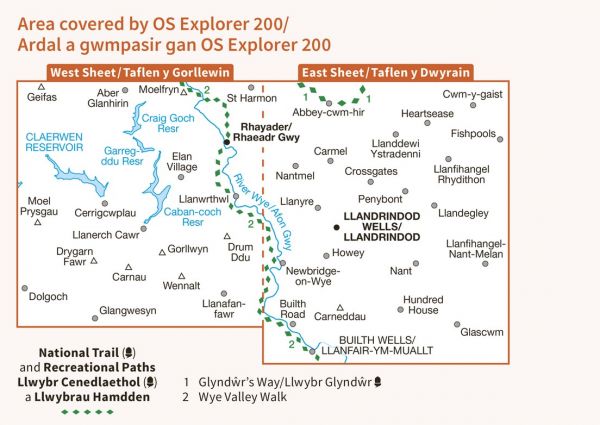
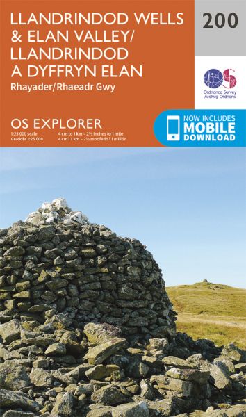
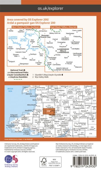
| Birmingham and Aberystwyth Walk | 241 km / 150 miles |
| Cambrian Way | 481 km / 299 miles |
| Cistercian Way (Wales) | 969 km / 602 miles |
| Coast to Coast - Snowdonia to the Gower | 348 km / 216 miles |
| Elan Valley Reservoir Challenge | 27 km / 17 miles |
| Elan Valley Way | 190 km / 118 miles |
| Glyndwr's Way/Llwybr Glyndwr National Trail | 217 km / 135 miles |
| Gwastedyn Church Trail | 53 km / 33 miles |
| Heart of Wales Line Trail | 230 km / 143 miles |
| Hope House Way | 555 km / 345 miles |
| Radnor Forest Ride | 113 km / 70 miles |
| Remote Hostels of Mid Wales | 45 km / 28 miles |
| Wye Valley Walk | 222 km / 138 miles |
