Every part of England, Scotland and Wales is covered by 403 maps specially designed for walkers, off-road cyclists, horse riders and all involved in outdoor activities. The Active maps are an encapsulated map that is tough, durable and weatherproof. The maps are covered in a protective plastic coating that can be written on, so your favourite routes can be easily highlighted. They are more costly but more durable and may obviate the need for a map case, though they are bulkier and heavier. The Outdoor Leisure map series and the Pathfinder map series have been integrated with the OS Explorer Map series.

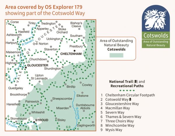
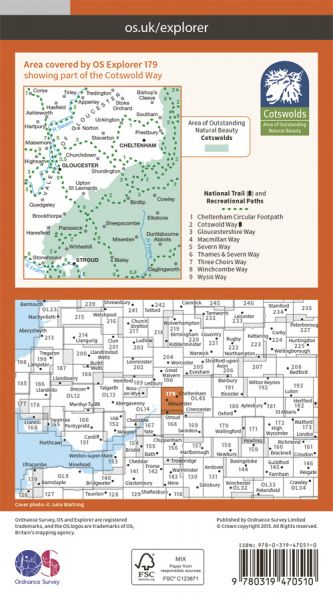
| Cotswold Canals Walk | 66 km / 41 miles |
| Cotswold Ring | 98 km / 61 miles |
| Cotswold Round | 349 km / 217 miles |
| Cotswold Village Trail | 143 km / 89 miles |
| Cotswold Way National Trail | 164 km / 102 miles |
| Dymock Walks | Various |
| Geopark Way | 175 km / 109 miles |
| Glevum Way | 39 km / 24 miles |
| Gloucestershire Way | 151 km / 94 miles |
| Gustav Holst Way | 55 km / 34 miles |
| Heart of the Cotswolds | 153 km / 95 miles |
| Isbourne Way | 23 km / 14 miles |
| Isbourne Way - Prologue | 6 km / 4 miles |
| Macmillan Way - Boston to Abbotsbury | 463 km / 288 miles |
| Macmillan Way - Cross Cotswold Pathway | 138 km / 86 miles |
| Sabrina Way | 327 km / 203 miles |
| Severn Way | 360 km / 224 miles |
| Thames and Severn Way | 69 km / 43 miles |
| Three Choirs Way | 161 km / 100 miles |
| W.A.S. Way - Walk Around Stroud | 16 km / 10 miles |
| Winchcombe Way | 68 km / 42 miles |
| Wysis Way | 84 km / 52 miles |
