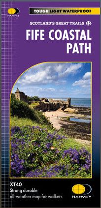
Harvey National Trail maps are in stripmap form at 1:40,000 scale. A number of panels cover the entire route on a single sheet. Significant deviations from the route may take you off these maps. These maps also include local and route background information. Maps are waterproof and tearproof and are packaged in cardboard map sleeves.
Publisher's Information 2024
Entire route on one map.
The route runs from Kincardine to Newburgh - at 187 km (116 miles) in length, the entire Fife Coastal Path is clearly marked in red.
The Fife Coastal Path offers a diverse range of landscapes, including rugged cliffs, sandy beaches, quaint fishing villages, and historic castles. The Path provides walkers with opportunities to explore nature reserves, spot wildlife and enjoy panoramic sea views.
Key attractions include the historic university town of St Andrews, the challenging Elie Chainwalk, and the Forth Bridges.
Suitable for all levels of walkers the route is accessible year-round.
100% waterproof
Tough, light, durable
Route clearly marked
