


Cicerone publishes guidebooks for long distance walks and treks, day walks, family walks, scrambling, climbing, ice climbing and mountaineering, cycling guides, hill and mountain skills and outdoor photography. Cicerone's aim is to inspire you, and to provide the information needed to enable you to plan and enjoy your favourite outdoor activity, whether in the British Isles or overseas.
Publisher's Information 2026
While the terrain is fairly level overall, the northern half of the route is challenging and remote, often following rough ground, exposed cliff edges and uneven coastal paths that require sound navigation and good fitness. Best walked in the Spring, the trail takes around two weeks to complete.
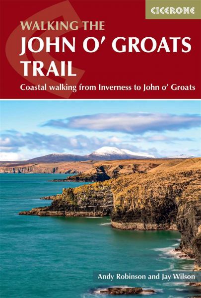
This comprehensive Cicerone guidebook provides everything you need to plan and walk the trail in either direction, with detailed route descriptions broken into 14 stages (each 10–25km/6–16 miles) from south to north, plus summary notes for walkers heading southbound.
Stage-by-stage mapping keeps you oriented from Inverness to John o'Groats through hazards along the coast like crumbling cliff edges and gorse thickets
Downloadable GPX files are also provided for all 14 stages of the John O'Groats Trail, a digital navigation option for use on smartphones and GPS devices
Accommodation, public transport and facilities are detailed for each day’s walk, ensuring you can plan stops in towns and villages such as Tain, Helmsdale and Wick
Practical planning advice helps you prepare for the Trail’s challenges, from the northern sections' rough ground and exposed cliff-top walking to considerations around land access and equipment
