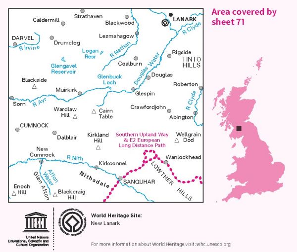
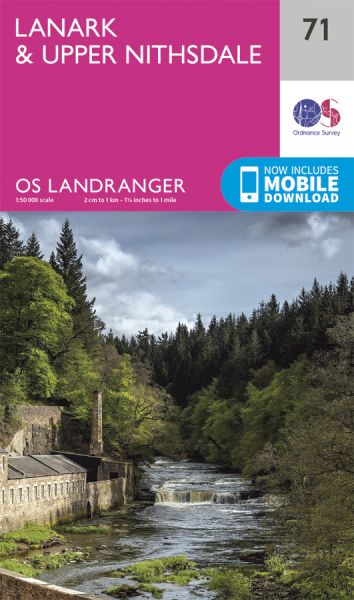
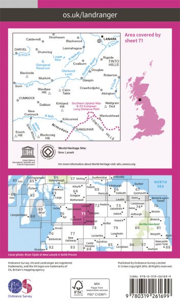
The 204 Landranger maps cover England, Scotland and Wales. Each map covers an area of 40 km by 40 km (25 miles by 25 miles)

| Clyde Walkway | 60 km / 37 miles |
| E-Path 2 UK Section - Stranraer to Middleton-in-Teesdale | 499 km / 310 miles |
| Kirk Yetholm to Milngavie | 216 km / 134 miles |
| River Ayr Way | 66 km / 41 miles |
| Southern Upland Way | 344 km / 214 miles |
