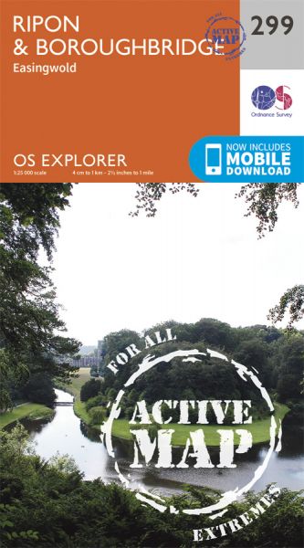
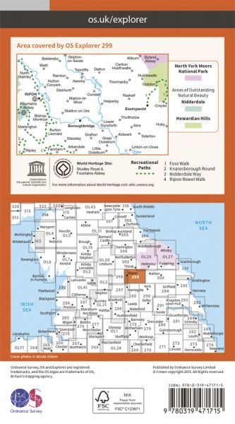
Every part of England, Scotland and Wales is covered by 403 maps specially designed for walkers, off-road cyclists, horse riders and all involved in outdoor activities. The Active maps are an encapsulated map that is tough, durable and weatherproof. The maps are covered in a protective plastic coating that can be written on, so your favourite routes can be easily highlighted. They are more costly but more durable and may obviate the need for a map case, though they are bulkier and heavier. The Outdoor Leisure map series and the Pathfinder map series have been integrated with the OS Explorer Map series.

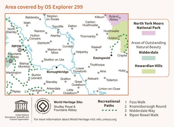
| Abbey Trail | 192 km / 119 miles |
| Abbeys Amble | 164 km / 102 miles |
| Aislabie Walk | 27 km / 17 miles |
| Clough Walk | 367 km / 228 miles |
| Foss Walk | 45 km / 28 miles |
| Hambleton Hillside Mosaic Walk | 58 km / 36 miles |
| Historical Walks through Lancashire and Yorkshire | 235 km / 146 miles |
| Howardian Way | 48 km / 30 miles |
| Joining The Seas | 253 km / 157 miles |
| Knaresborough Round | 32 km / 20 miles |
| Lake Pickering Circuit | 216 km / 134 miles |
| Nidderdale Way | 87 km / 54 miles |
| North of England Way | 327 km / 203 miles |
| Ripon Rowel | 80 km / 50 miles |
| Sanctuary Way Walk | 18 km / 11 miles |
| Shining Lights of the North Way | 56 km / 35 miles |
| St Bernard's Way | 756 km / 470 miles |
| Swale Way | 130 km / 81 miles |
| Trans Pennine Way | 164 km / 102 miles |
| Trans-Dales Trail - 1 | 97 km / 60 miles |
| Way of the Roses | 274 km / 170 miles |
| Whitby Way | 106 km / 66 miles |
| Wild Yorkshire Way | 797 km / 495 miles |
| Yoredale Way | 116 km / 72 miles |
| Yorkshire Heritage Way | 68 km / 42 miles |
| Yorkshire Ouse Walk | 100 km / 62 miles |
