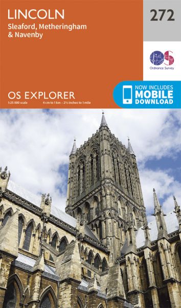
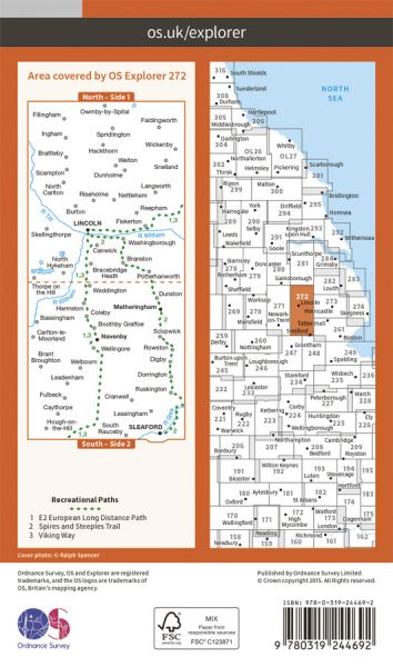
Every part of England, Scotland and Wales is covered by 403 maps specially designed for walkers, off-road cyclists, horse riders and all involved in outdoor activities. The older Outdoor Leisure map series and the Pathfinder map series have been integrated with the OS Explorer Map series.

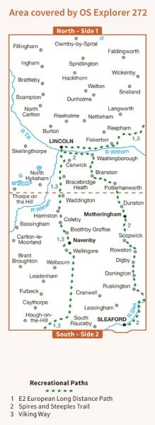
| Danelaw Way | 96 km / 60 miles |
| Danelaw Way All-Weather Alternative | 8 km / 5 miles |
| E-Path 2 UK Section - Middleton-in-Teesdale to Harwich | 853 km / 530 miles |
| Louth to Lincoln | 80 km / 50 miles |
| Plogsland Round | 76 km / 47 miles |
| Queen Eleanor Crosses Way | 349 km / 217 miles |
| South Kesteven Round | 209 km / 130 miles |
| Stephen Langton Trail | 24 km / 15 miles |
| Towers Way | 153 km / 95 miles |
| Viking Way | 240 km / 149 miles |
| Water Rail Way | 53 km / 33 miles |
