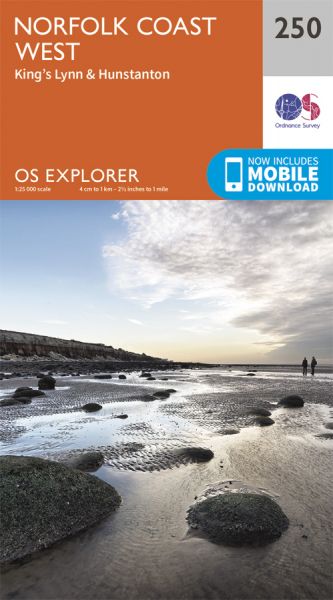
Every part of England, Scotland and Wales is covered by 403 maps specially designed for walkers, off-road cyclists, horse riders and all involved in outdoor activities. The older Outdoor Leisure map series and the Pathfinder map series have been integrated with the OS Explorer Map series.

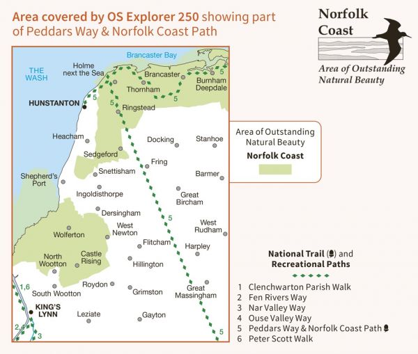
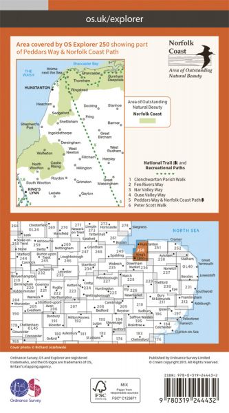
| Cross Norfolk Trail | 154 km / 96 miles |
| Fen Rivers Way | 77 km / 48 miles |
| Great Chalk Way | 605 km / 376 miles |
| Hopton to Hunstanton (England & Wales Coast Path Sector 21) | 135 km / 84 miles |
| Hunstanton to Hull (England & Wales Coast Path Sector 22) | 259 km / 161 miles |
| Nar Valley Way | 54 km / 34 miles |
| Norfolk Coast Path | 188 km / 117 miles |
| Ouse Valley Way | 229 km / 142 miles |
| Peddars Way | 74 km / 46 miles |
| Peter Scott Walk | 16 km / 10 miles |
