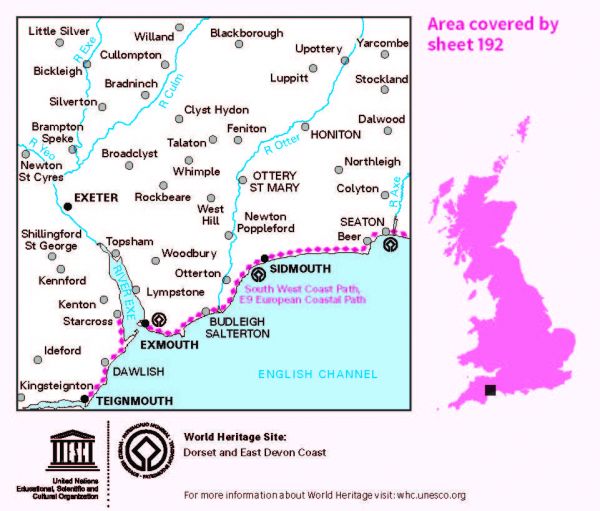
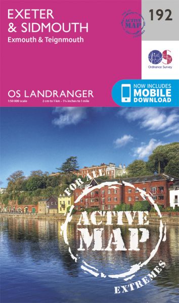
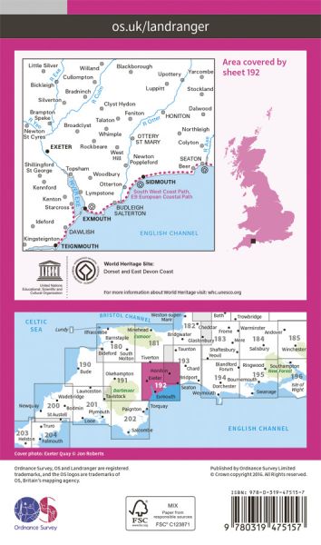
Ordnance Survey has every part of Great Britain covered in this versatile active map format. In 2007 it introduced 25 all-weather titles of its 1:50 000 OS Landranger Maps. Each Landranger Active map covers an area of 40 km by 40 km (25 miles by 25 miles). The Active maps are an encapsulated map that is tough, durable and weatherproof. The maps are covered in a protective plastic coating that can be written on, so your favourite routes can be easily highlighted. They are more costly but more durable and may obviate the need for a map case, though they are bulkier and heavier. And since then there has been a growing demand to make the entire OS Landranger Map series available.

| Celtic Way | 1161 km / 721 miles |
| Channel to Channel (Devon - Somerset) | 80 km / 50 miles |
| Devonshire Heartland Way | 69 km / 43 miles |
| E-Path 9 UK Section Plymouth to Dover | 711 km / 442 miles |
| East Devon Way | 61 km / 38 miles |
| Exe Valley Way | 84 km / 52 miles |
| Exmouth to South Haven (England & Wales Coast Path Sector 14) | 187 km / 116 miles |
| King Arthur Way | 249 km / 155 miles |
| Long Path | 772 km / 480 miles |
| Mary Michael Pilgrims Way | 563 km / 350 miles |
| Orange Way | 549 km / 341 miles |
| Par to Exmouth (England & Wales Coast Path Sector 13) | 229 km / 142 miles |
| River Teign Walk | 71 km / 44 miles |
| Sidmouth Saunter | 40 km / 25 miles |
| South West Coast Path National Trail | 1014 km / 630 miles |
| Teignmouth and Dawlish Way | 29 km / 18 miles |
| Templer Way | 29 km / 18 miles |
| Two Counties Way | 90 km / 56 miles |
