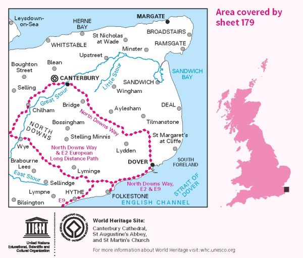
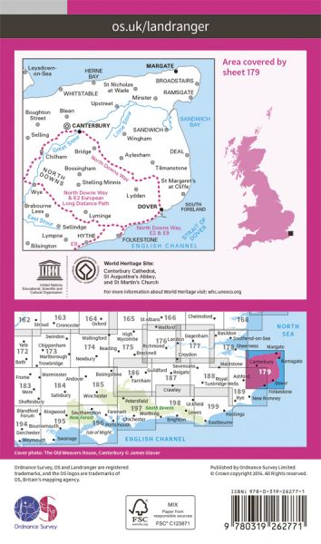
The 204 Landranger maps cover England, Scotland and Wales. Each map covers an area of 40 km by 40 km (25 miles by 25 miles)

| Augustine Camino | 105 km / 65 miles |
| Big Blean Walk | 47 km / 29 miles |
| Brighton to Whistable (England & Wales Coast Path Sector 17) | Various |
