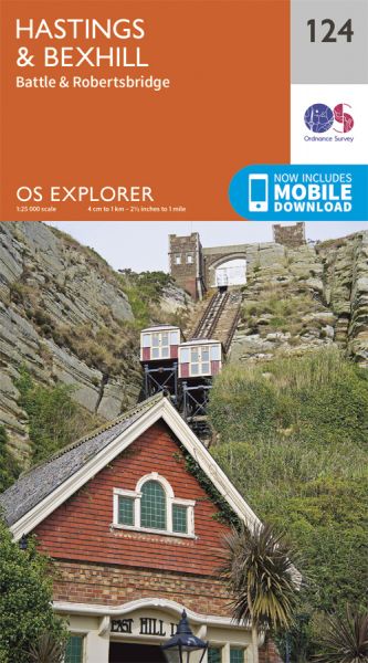
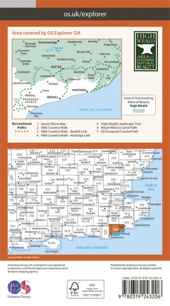
Every part of England, Scotland and Wales is covered by 403 maps specially designed for walkers, off-road cyclists, horse riders and all involved in outdoor activities. The older Outdoor Leisure map series and the Pathfinder map series have been integrated with the OS Explorer Map series.

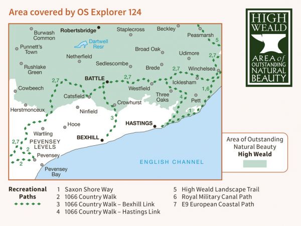
| 1066 Country Walk | 50 km / 31 miles |
| 1066 Country Walk - Bexhill Link | 10 km / 6 miles |
| 1066 Country Walk - Hastings Link | 11 km / 7 miles |
| 1066 Country Walk - South Downs Link | 10 km / 6 miles |
| 1066 Harold's Way | 153 km / 95 miles |
| Brighton to Whistable (England & Wales Coast Path Sector 17) | Various |
| Cuckoo Trail | 23 km / 14 miles |
| Dymchurch to Didcot Robust Ramble | 359 km / 223 miles |
| E-Path 9 UK Section Plymouth to Dover | 711 km / 442 miles |
| High Weald Landscape Trail | 151 km / 94 miles |
| Old Way | 393 km / 244 miles |
| Royal Military Canal Path | 43 km / 27 miles |
| Saxon Shore Way | 262 km / 163 miles |
| Sussex Hospices Trail | 315 km / 196 miles |
| Three Castles and an Ironmaster's House | 82 km / 51 miles |
| Walking the Castles of Sussex | 291 km / 181 miles |
