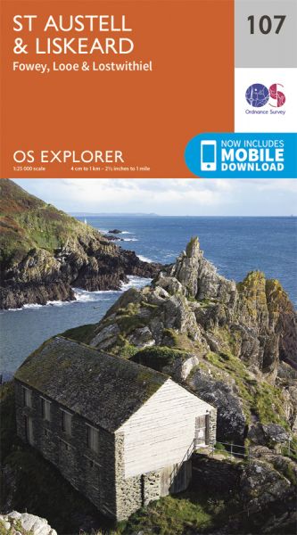
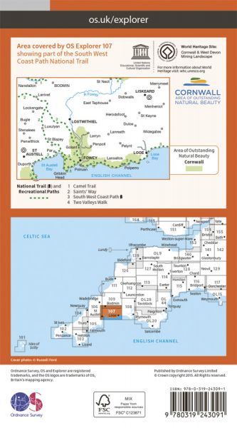
Every part of England, Scotland and Wales is covered by 403 maps specially designed for walkers, off-road cyclists, horse riders and all involved in outdoor activities. The older Outdoor Leisure map series and the Pathfinder map series have been integrated with the OS Explorer Map series.

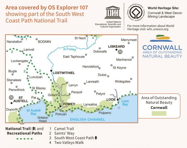
| Camel Trail | 29 km / 18 miles |
| Celtic Way | 1161 km / 721 miles |
| Coast and Clay Trail | 72 km / 45 miles |
| Copper Trail | 97 km / 60 miles |
| Cornish Celtic Way | 198 km / 123 miles |
| Land's End Trail | 488 km / 303 miles |
| Long Path | 772 km / 480 miles |
| Mary Michael Pilgrims Way | 563 km / 350 miles |
| Par to Exmouth (England & Wales Coast Path Sector 13) | 229 km / 142 miles |
| Saints Way St Blazey Alternative | 19 km / 12 miles |
| Saints' Way/Forth an Syns | 47 km / 29 miles |
| Smugglers' Way | 59 km / 37 miles |
| South West Coast Path National Trail | 1014 km / 630 miles |
| St Ives to Par (England & Walest Coast Path Sector 12) | 225 km / 140 miles |
