Every part of England, Scotland and Wales is covered by 403 maps specially designed for walkers, off-road cyclists, horse riders and all involved in outdoor activities. The Active maps are an encapsulated map that is tough, durable and weatherproof. The maps are covered in a protective plastic coating that can be written on, so your favourite routes can be easily highlighted. They are more costly but more durable and may obviate the need for a map case, though they are bulkier and heavier. The Outdoor Leisure map series and the Pathfinder map series have been integrated with the OS Explorer Map series.

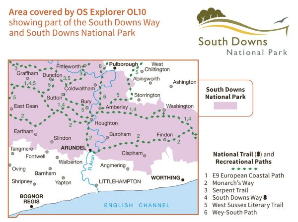
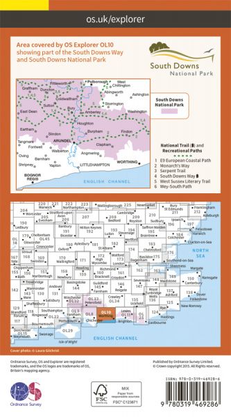
| Arun Way | 34 km / 21 miles |
| E-Path 9 UK Section Plymouth to Dover | 711 km / 442 miles |
| London's Lost Route to the Sea | 212 km / 132 miles |
| Midhurst Way | 47 km / 29 miles |
| Monarch's Way | 948 km / 589 miles |
| New Lipchis Way | 61 km / 38 miles |
| Old Way | 393 km / 244 miles |
| Rother Valley Walks | Various |
| Serpent Trail | 103 km / 64 miles |
| South Downs Way National Trail | 161 km / 100 miles |
| Sussex Hospices Trail | 315 km / 196 miles |
| Walking the Castles of Sussex | 291 km / 181 miles |
| West Sussex Literary Trail | 89 km / 55 miles |
| Wey-South Path | 58 km / 36 miles |
