


Cicerone publishes guidebooks for long distance walks and treks, day walks, family walks, scrambling, climbing, ice climbing and mountaineering, cycling guides, hill and mountain skills and outdoor photography. Cicerone's aim is to inspire you, and to provide the information needed to enable you to plan and enjoy your favourite outdoor activity, whether in the British Isles or overseas.
Publisher's Information 2026
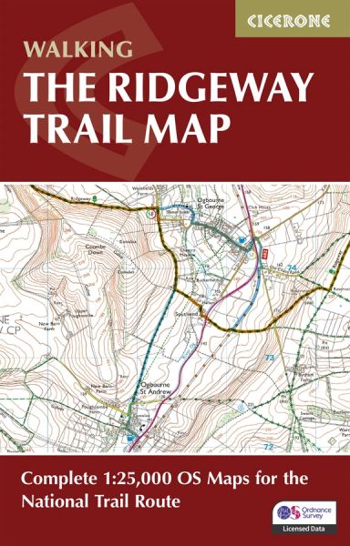
Features 1:25,000 Ordnance Survey (OS) mapping, showing the full route line with clarity and precision.
Covers the trail in both directions, from Avebury to Ivinghoe Beacon or vice versa, presented in 12 stages.
Includes detours and diversions to nearby historic and archaeological sites, from Neolithic burial mounds to Iron Age hill forts.
Compact and portable design, sized to fit easily in a jacket pocket or daypack.
An accompanying Cicerone guidebook, Walking The Ridgeway, is also available and includes a copy of this map booklet.
