


Cicerone publishes guidebooks for long distance walks and treks, day walks, family walks, scrambling, climbing, ice climbing and mountaineering, cycling guides, hill and mountain skills and outdoor photography. Cicerone's aim is to inspire you, and to provide the information needed to enable you to plan and enjoy your favourite outdoor activity, whether in the British Isles or overseas.
Publisher's Information 2026
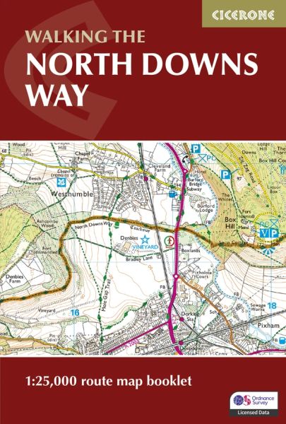
Full North Downs Way route shown on Ordnance Survey 1:25,000 mapping for precise navigation whilst walking from Farnham to Dover
Clearly marked trail line across Surrey Hills and Kent Downs, including key junctions and an alternative route via Canterbury, should you wish to explore this historic city
Continuous mapping format in a compact, pocket-sized booklet, eliminating the need for multiple separate map sheets
Plan daily distances with ease and track your progress along the trail through southern England with the stage-friendly layout
For step-by-step route descriptions and planning advice, an accompanying Cicerone guidebook, ‘Walking the North Downs Way’, is also available
